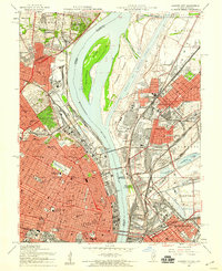
1954 Map of Granite City
USGS Topo · Published 1958About this map
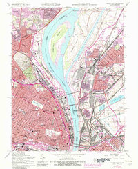
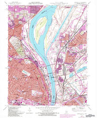
Industrial corridors and densely populated riverfront neighborhoods dominate the landscape where the Mississippi River separates Missouri from Illinois. On the western bank, the urban grid of St Louis is punctuated by large green spaces like O'Fallon Park and the sprawling Bellefontaine Cemetery, while the riverfront is lined with a complex network of rail lines including the St Louis Terminal RR. The 1950s infrastructure is clearly visible, featuring landmarks like Busch Stadium and the Homer G Phillips Hospital.
Find a feature on this map
99 named features on this map. Tap any name to fly to it.
Don’t see what you’re looking for? This feature index may not catch every label — zoom into the map to look around manually.
Map Details
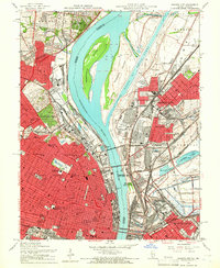
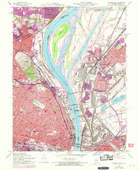
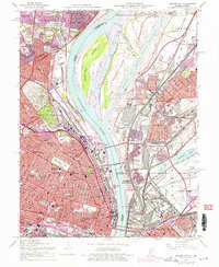
Editions of this 1954 Granite City Map
6 editions found
Other maps of this area

1888 · St. Louis
USGS Topo · 1:62,500

1927 · Alton
USGS Topo · 1:62,500

1927 · St. Charles
USGS Topo · 1:62,500

1931 · French Village
USGS Topo · 1:24,000

1933 · Granite City
USGS Topo · 1:24,000

1933 · Jefferson Barracks
USGS Topo · 1:24,000

1933 · Cahokia
USGS Topo · 1:24,000

1933 · Clayton
USGS Topo · 1:24,000

1933 · Saint Charles
USGS Topo · 1:62,500

1934 · Cahokia
USGS Topo · 1:24,000