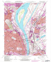
1954 Map of Granite City
USGS Topo · Published 1993About this map
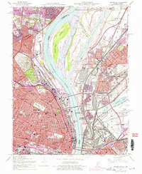
Mississippi River industry and settlement define this mid-century look at the bi-state corridor between Missouri and Illinois. The landscape is dominated by the massive river-driven infrastructure of the St Louis waterfront, including the Municipal Dock, the sprawling Stockyards of National City, and the Chain of Rocks Canal bypassing the river's main channel near Gabaret Island. Major crossings like the Merchants Bridge and Eads Bridge (Toll) link the dense urban grid of St Louis to the industrial centers of Granite City and Madison. On the Missouri side, the expansive grounds of Bellefontaine Cemetery and Calvary Cemetery provide a stark geographic contrast to the tightly packed neighborhoods of Jennings and Baden. The map captures the city just as the Jefferson Nat Expansion Mem was taking shape on the riverfront.
Find a feature on this map
69 named features on this map. Tap any name to fly to it.
Don’t see what you’re looking for? This feature index may not catch every label — zoom into the map to look around manually.
Map Details
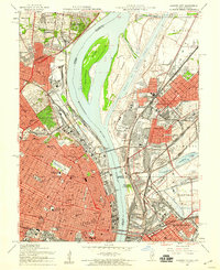
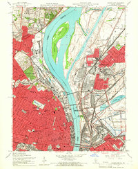
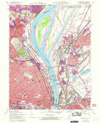
Editions of this 1954 Granite City Map
6 editions found
Other maps of this area

1888 · St. Louis
USGS Topo · 1:62,500

1927 · Alton
USGS Topo · 1:62,500

1927 · St. Charles
USGS Topo · 1:62,500

1931 · French Village
USGS Topo · 1:24,000

1933 · Granite City
USGS Topo · 1:24,000

1933 · Jefferson Barracks
USGS Topo · 1:24,000

1933 · Cahokia
USGS Topo · 1:24,000

1933 · Clayton
USGS Topo · 1:24,000

1933 · Saint Charles
USGS Topo · 1:62,500

1934 · Cahokia
USGS Topo · 1:24,000