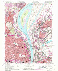
1954 Map of Granite City
USGS Topo · Published 1982About this map
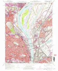
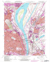
The Mississippi River serves as the central artery for this industrial landscape, separating the dense urban grid of St Louis from the Illinois manufacturing hubs of Granite City and Madison. This survey illustrates a period of intense mid-century infrastructure, dominated by the intricate rail networks of the Terminal Railroad Association and the Illinois Central Gulf. In Missouri, massive burial grounds like Calvary Cemetery and Bellefontaine Cemetery stand in contrast to the rapid residential expansion in Moline Acres and Bellefontaine Neighbors. Significant landmarks are meticulously documented, ranging from the academic grounds of St Louis University to the medical campus of Homer G Phillips Hospital. The inclusion of the Gateway Arch and the complex Chain of Rocks Canal system highlights the engineering efforts to modernize the riverfront for both symbolic and commercial purposes.
Find a feature on this map
80 named features on this map. Tap any name to fly to it.
Don’t see what you’re looking for? This feature index may not catch every label — zoom into the map to look around manually.
Map Details
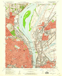
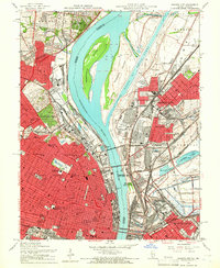
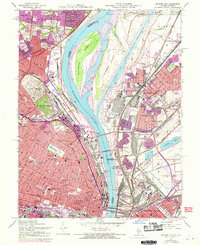
Editions of this 1954 Granite City Map
6 editions found
Other maps of this area

1888 · St. Louis
USGS Topo · 1:62,500

1927 · Alton
USGS Topo · 1:62,500

1927 · St. Charles
USGS Topo · 1:62,500

1931 · French Village
USGS Topo · 1:24,000

1933 · Granite City
USGS Topo · 1:24,000

1933 · Jefferson Barracks
USGS Topo · 1:24,000

1933 · Cahokia
USGS Topo · 1:24,000

1933 · Clayton
USGS Topo · 1:24,000

1933 · Saint Charles
USGS Topo · 1:62,500

1934 · Cahokia
USGS Topo · 1:24,000