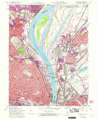
1954 Map of Granite City
USGS Topo · Published 1969About this map
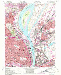
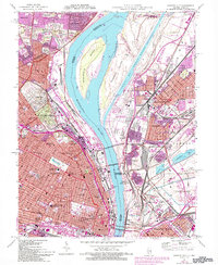
The Mississippi River serves as the dominant spine of this mid-century survey, dividing the industrial landscape of Granite City and Madison from the urban density of St Louis. This map captures the region during a period of transition, with purple overprinting reflecting 1968 updates to the road network and urban footprints. The river's character is defined by engineering projects like the Chain of Rocks Canal and Gabaret Island, while the city shores are crowded with rail infrastructure, including the Illinois Terminal and Penn Central lines.
Find a feature on this map
89 named features on this map. Tap any name to fly to it.
Don’t see what you’re looking for? This feature index may not catch every label — zoom into the map to look around manually.
Map Details
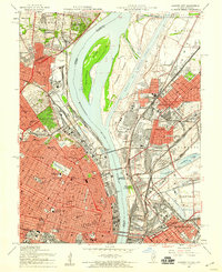
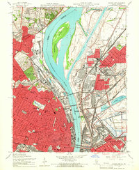
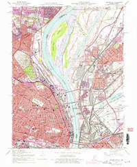
Editions of this 1954 Granite City Map
6 editions found
Other maps of this area

1888 · St. Louis
USGS Topo · 1:62,500

1927 · Alton
USGS Topo · 1:62,500

1927 · St. Charles
USGS Topo · 1:62,500

1931 · French Village
USGS Topo · 1:24,000

1933 · Granite City
USGS Topo · 1:24,000

1933 · Jefferson Barracks
USGS Topo · 1:24,000

1933 · Cahokia
USGS Topo · 1:24,000

1933 · Clayton
USGS Topo · 1:24,000

1933 · Saint Charles
USGS Topo · 1:62,500

1934 · Cahokia
USGS Topo · 1:24,000