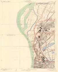
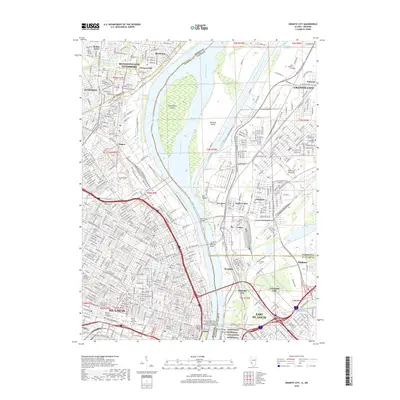
1935 Map of Granite City
USGS Topo · Published 1935About this map
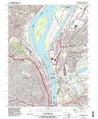
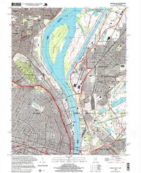
Industrial expansion and complex river engineering define this 1930s survey of the American Bottoms. The massive National Stock Yards and a dense network of rail lines, including the Illinois Terminal Railroad Association and Southern RR, dominate the landscape east of the Mississippi River. The map meticulously details the urban footprints of Granite City, Madison, and Venice, while also capturing the specific location of Brooklyn Lovejoy PO.
Find a feature on this map
35 named features on this map. Tap any name to fly to it.
Don’t see what you’re looking for? This feature index may not catch every label — zoom into the map to look around manually.
Map Details
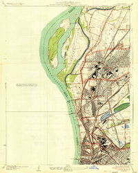
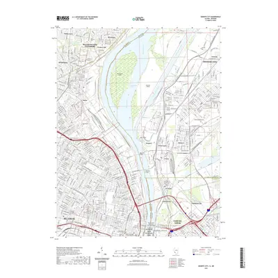
Editions of this 1935 Granite City Map
2 editions found
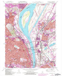
Historical Maps of St. Louis Through Time
11 maps found

1933 Granite City
Madison County, IL
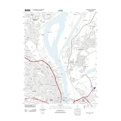
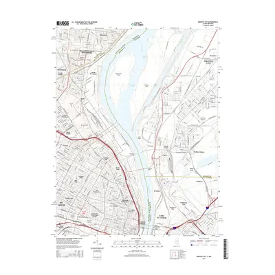
1935 Granite City
Madison County, IL
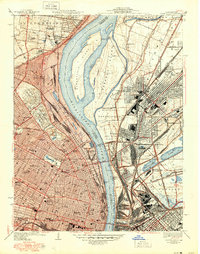
1940 Granite City
Madison County, IL
1954 Granite City
Madison County, IL
1993 Granite City
Madison County, IL
1998 Granite City
Madison County, IL
2012 Granite City
Madison County, IL
2015 Granite City
Madison County, IL
2018 Granite City
Madison County, IL
2021 Granite City
Madison County, IL
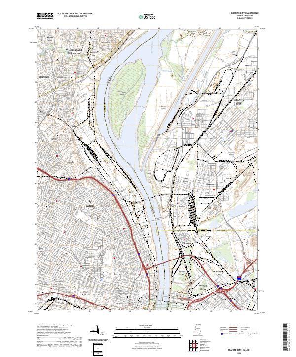
2024 Granite City
Madison County, IL