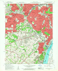
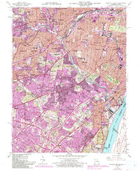
1954 Map of Webster Groves
USGS Topo · Published 1959About this map
The sprawling suburbs of south St Louis and Webster Groves are captured in the mid-1950s, a period of intensive residential expansion and institutional growth. The landscape is defined by the River Des Peres Drainage Channel and a dense network of major thoroughfares including Lindbergh Blvd and Gravois Rd. To the southeast, the historic Jefferson Barracks sits alongside the Mississippi River, near the National Cemetery and the industrial activity of Luxemburg. Significant educational and religious grounds such as the St Louis Preparatory Seminary, Kenrick Seminary, and Webster College provide substantial green spaces amidst the encroaching residential blocks. The survey also preserves the layout of established parks and landmarks like the Missouri Botanical Garden and Tower Grove Park, offering a detailed view of the region's mid-century civic architecture and transportation infrastructure.
Find a feature on this map
112 named features on this map. Tap any name to fly to it.
Don’t see what you’re looking for? This feature index may not catch every label — zoom into the map to look around manually.
Map Details
Editions of this 1954 Webster Groves Map
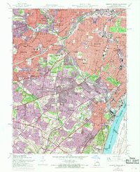
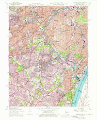
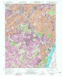
5 editions found
Other maps of this area

1888 · St. Louis
USGS Topo · 1:62,500

1910 · Waterloo
USGS Topo · 1:62,500

1912 · Kimmswick
USGS Topo · 1:62,500

1913 · Waterloo
USGS Topo · 1:62,500

1916 · Kimmswick
USGS Topo · 1:62,500

1933 · Creve Coeur
USGS Topo · 1:24,000

1933 · Granite City
USGS Topo · 1:24,000

1933 · Jefferson Barracks
USGS Topo · 1:24,000

1933 · Cahokia
USGS Topo · 1:24,000

1933 · Clayton
USGS Topo · 1:24,000