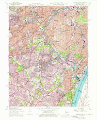
1954 Map of Webster Groves
USGS Topo · Published 1975About this map
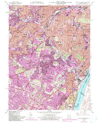
Jefferson Barracks anchors the southeastern corner of this suburban landscape, overlooking the Mississippi River and Sugar Loaf Bottoms. The map documents a dense network of Catholic institutional history, featuring the St Louis Preparatory Seminary, Kenrick Seminary, and Webster College. These campuses are surrounded by several large-scale burial grounds, including the National Cemetery and Resurrection Cemetery, which define the open space between expanding residential tracts.
Find a feature on this map
97 named features on this map. Tap any name to fly to it.
Don’t see what you’re looking for? This feature index may not catch every label — zoom into the map to look around manually.
Map Details
Editions of this 1954 Webster Groves Map
5 editions found
Other maps of this area

1888 · St. Louis
USGS Topo · 1:62,500

1910 · Waterloo
USGS Topo · 1:62,500

1912 · Kimmswick
USGS Topo · 1:62,500

1913 · Waterloo
USGS Topo · 1:62,500

1916 · Kimmswick
USGS Topo · 1:62,500

1933 · Creve Coeur
USGS Topo · 1:24,000

1933 · Granite City
USGS Topo · 1:24,000

1933 · Jefferson Barracks
USGS Topo · 1:24,000

1933 · Cahokia
USGS Topo · 1:24,000

1933 · Clayton
USGS Topo · 1:24,000