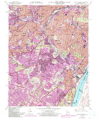
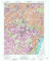
1954 Map of Webster Groves
USGS Topo · Published 1993About this map
Webster Groves and the surrounding southwest St. Louis suburbs are shown here in a detailed layering of mid-century development and later 20th-century expansion. The landscape is defined by its extensive educational and religious institutions, ranging from Webster College and Kenrick Seminary to the St Louis Preparatory Seminary. These campuses, alongside numerous parochial schools like St Michaels Sch, reflect the social fabric of these established residential communities. Significant land tracts are dedicated to the dead, with a dense corridor of memorial grounds including Resurrection Cemetery, Lakewood Park Cemetery, and the sprawling National Cemetery near the historic Jefferson Barracks.
Find a feature on this map
98 named features on this map. Tap any name to fly to it.
Don’t see what you’re looking for? This feature index may not catch every label — zoom into the map to look around manually.
Map Details
Editions of this 1954 Webster Groves Map
5 editions found
Other maps of this area

1888 · St. Louis
USGS Topo · 1:62,500

1910 · Waterloo
USGS Topo · 1:62,500

1912 · Kimmswick
USGS Topo · 1:62,500

1913 · Waterloo
USGS Topo · 1:62,500

1916 · Kimmswick
USGS Topo · 1:62,500

1933 · Creve Coeur
USGS Topo · 1:24,000

1933 · Granite City
USGS Topo · 1:24,000

1933 · Jefferson Barracks
USGS Topo · 1:24,000

1933 · Cahokia
USGS Topo · 1:24,000

1933 · Clayton
USGS Topo · 1:24,000