Loading...
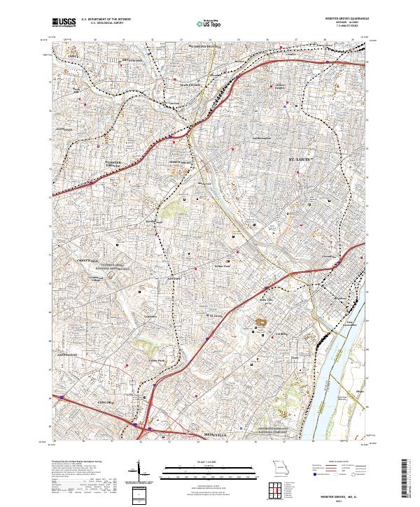
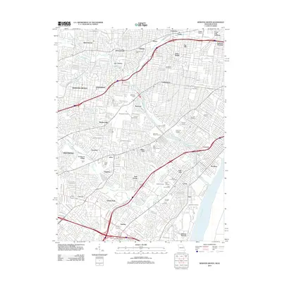
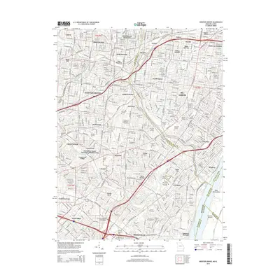
Loading map...2021 Map of Webster Groves
USGS Topo · Published 2021About this map
Ulysses S Grant National Historic Site and the sprawling grounds of Jefferson Barracks National Cemetery anchor this detailed study of the southwestern St. Louis suburbs. The landscape is defined by a dense network of residential communities including Webster Groves, Affton, and Maplewood, where institutional landmarks like Webster University and Eden Theological Seminary have long shaped the local character.
Find a feature on this map
74 named features on this map. Tap any name to fly to it.
Don’t see what you’re looking for? This feature index may not catch every label — zoom into the map to look around manually.
Map Details
Date Portrayed2021
Date Published2021
PublisherU.S. Geological Survey
Map TypeTopographic
Scale1:24,000
Physical Dimensions24 x 29 inches
Editions of this 2021 Webster Groves Map
This is the sole edition of this map. No revisions or reprints were ever made.
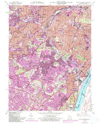
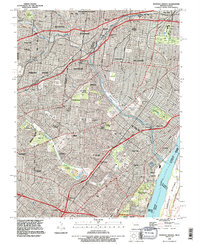
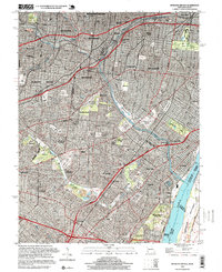
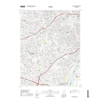
Historical Maps of Mehlville Through Time
7 maps found
Featured Locations
Source Details
SourceU.S. Geological Survey
CopyrightPublic Domain