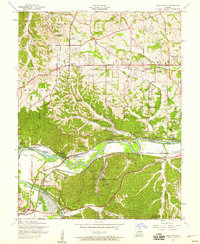
1954 Map of Manchester
USGS Topo · Published 1959About this map
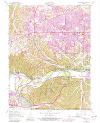
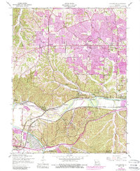
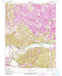
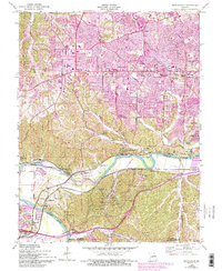
The Meramec River winds through the southern half of this mid-century landscape, carving a deep valley that separates the Crescent Hills from the developing suburbs of St. Louis County. At this time, communities like Ballwin, Ellisville, and Manchester appear as emerging hubs along Manchester Road, while the riverside is dotted with recreation spots and smaller settlements such as Castlewood and Lincoln Beach. The presence of the St Louis Ordnance Plant and a Gravel Pit near Jedburgh reflects the era's industrial activity, contrasting with the many rural schools and cemeteries that served established families.
Find a feature on this map
64 named features on this map. Tap any name to fly to it.
Don’t see what you’re looking for? This feature index may not catch every label — zoom into the map to look around manually.
Map Details
Editions of this 1954 Manchester Map
8 editions found
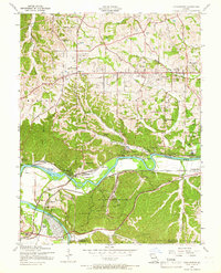
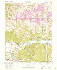
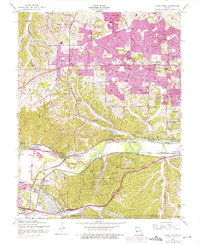
Other maps of this area

1901 · De Soto
USGS Topo · 1:125,000

1903 · O'Fallon
USGS Topo · 1:125,000

1912 · Kimmswick
USGS Topo · 1:62,500

1916 · Kimmswick
USGS Topo · 1:62,500

1931 · Manchester SE
USGS Topo · 1:24,000

1931 · Pacific NE
USGS Topo · 1:24,000

1932 · Manchester NE
USGS Topo · 1:24,000

1933 · Creve Coeur
USGS Topo · 1:24,000

1933 · Kirkwood
USGS Topo · 1:24,000

1937 · Pacific
USGS Topo · 1:24,000