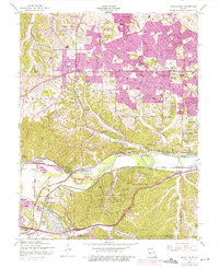
1954 Map of Manchester
USGS Topo · Published 1975About this map
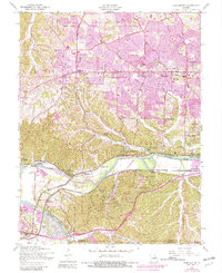
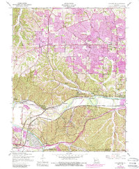
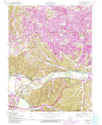
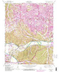
Meramec River bends sharply through the southern half of this landscape, anchoring a network of small settlements and recreational sites. Purple overprinting reveals the mid-century suburban expansion pushing westward from Manchester and Ballwin along Manchester Road. In the rugged terrain of the Crescent Hills, institutional and civic footprints are prominent, including the Washington University Research Center and the St Louis County Park. The map documents a specific moment for riverfront communities like Times Beach and Lincoln Beach before later environmental and developmental shifts altered their character. Further south, the infrastructure of the Pacific Railroad and St Louis San Francisco lines trace the valley floor, connecting historic points such as Glencoe, Sherman, and Jedburgh. Local genealogy is well-served by the inclusion of St Johns Cem and various rural schoolhouses like Alt Sch and Sulphur Springs Sch.
Find a feature on this map
60 named features on this map. Tap any name to fly to it.
Don’t see what you’re looking for? This feature index may not catch every label — zoom into the map to look around manually.
Map Details
Editions of this 1954 Manchester Map
8 editions found
Other maps of this area

1901 · De Soto
USGS Topo · 1:125,000

1903 · O'Fallon
USGS Topo · 1:125,000

1912 · Kimmswick
USGS Topo · 1:62,500

1916 · Kimmswick
USGS Topo · 1:62,500

1931 · Manchester SE
USGS Topo · 1:24,000

1931 · Pacific NE
USGS Topo · 1:24,000

1932 · Manchester NE
USGS Topo · 1:24,000

1933 · Creve Coeur
USGS Topo · 1:24,000

1933 · Kirkwood
USGS Topo · 1:24,000

1937 · Pacific
USGS Topo · 1:24,000