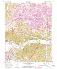
1954 Map of Manchester
USGS Topo · Published 1982About this map
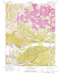
Times Beach and the riverfront communities of western St. Louis County are captured here just before significant suburban shifts altered the local landscape. The Meramec River winds through the southern half of the area, creating a valley defined by recreational spots like Lincoln Beach and the rugged topography of Cedar Bluff. Early 20th-century institutions such as the Tyson Research Center and Lone Elk County Park occupy large tracts of land along the St. Louis-Jefferson county line, while the growing residential corridors of Ballwin and Manchester begin to coalesce around Manchester Road. Local history is anchored by the St Johns Ch and St Johns Sch, alongside several school sites including Ate Sch and Sacred Heart Sch. The presence of the Burlington Northern and St Louis-San Francisco railroads highlights the enduring importance of these transportation arteries in connecting small settlements like Sherman, Jedburgh, and Crescent.
Find a feature on this map
61 named features on this map. Tap any name to fly to it.
Don’t see what you’re looking for? This feature index may not catch every label — zoom into the map to look around manually.
Map Details
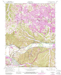
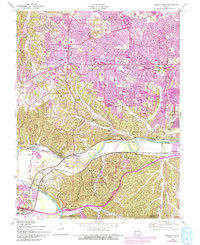
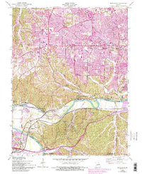
Editions of this 1954 Manchester Map
8 editions found
Other maps of this area

1901 · De Soto
USGS Topo · 1:125,000

1903 · O'Fallon
USGS Topo · 1:125,000

1912 · Kimmswick
USGS Topo · 1:62,500

1916 · Kimmswick
USGS Topo · 1:62,500

1931 · Manchester SE
USGS Topo · 1:24,000

1931 · Pacific NE
USGS Topo · 1:24,000

1932 · Manchester NE
USGS Topo · 1:24,000

1933 · Creve Coeur
USGS Topo · 1:24,000

1933 · Kirkwood
USGS Topo · 1:24,000

1937 · Pacific
USGS Topo · 1:24,000