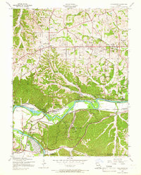
1954 Map of Manchester
USGS Topo · Published 1966About this map
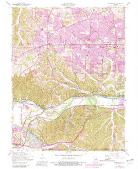
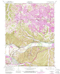
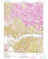
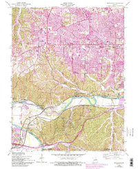
Meramec River bends sharply through the southern half of this landscape, anchoring a network of small mid-century communities and industrial sites. The river corridor is home to the riverside resort atmosphere of Lincoln Beach and the residential layout of Times Beach, long before its eventual evacuation. Transportation defines the region's character, with the Missouri Pacific and St Louis San Francisco railroads following the river's winding course.
Find a feature on this map
71 named features on this map. Tap any name to fly to it.
Don’t see what you’re looking for? This feature index may not catch every label — zoom into the map to look around manually.
Map Details
Editions of this 1954 Manchester Map
8 editions found
Other maps of this area

1901 · De Soto
USGS Topo · 1:125,000

1903 · O'Fallon
USGS Topo · 1:125,000

1912 · Kimmswick
USGS Topo · 1:62,500

1916 · Kimmswick
USGS Topo · 1:62,500

1931 · Manchester SE
USGS Topo · 1:24,000

1931 · Pacific NE
USGS Topo · 1:24,000

1932 · Manchester NE
USGS Topo · 1:24,000

1933 · Creve Coeur
USGS Topo · 1:24,000

1933 · Kirkwood
USGS Topo · 1:24,000

1937 · Pacific
USGS Topo · 1:24,000