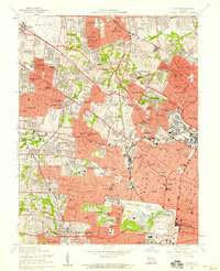
1954 Map of Clayton
USGS Topo · Published 1959About this map
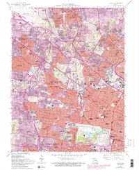
The urban and suburban expansion of western St. Louis County is on full display in this mid-century survey, revealing a landscape defined by residential growth and major institutional corridors. Central to the map is the vast Forest Park, containing the Art Museum, Municipal Theater, and several major hospitals like St Johns Hospital. The northern reaches are anchored by the Lambert-St Louis Airport and the U S Naval Air Station, highlighting the area's strategic aviation and military importance.
Find a feature on this map
154 named features on this map. Tap any name to fly to it.
Don’t see what you’re looking for? This feature index may not catch every label — zoom into the map to look around manually.
Map Details
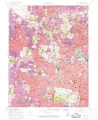
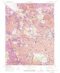
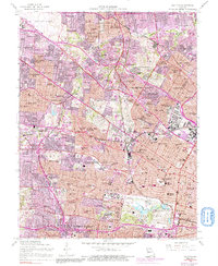
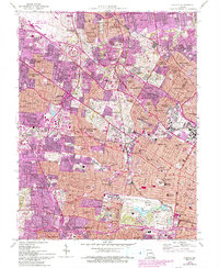
Editions of this 1954 Clayton Map
6 editions found
Other maps of this area

1888 · St. Louis
USGS Topo · 1:62,500

1924 · Robertson
USGS Topo · 1:24,000

1927 · Alton
USGS Topo · 1:62,500

1927 · St. Charles
USGS Topo · 1:62,500

1933 · Creve Coeur
USGS Topo · 1:24,000

1933 · Granite City
USGS Topo · 1:24,000

1933 · Jefferson Barracks
USGS Topo · 1:24,000

1933 · Cahokia
USGS Topo · 1:24,000

1933 · Clayton
USGS Topo · 1:24,000

1933 · Saint Charles
USGS Topo · 1:62,500