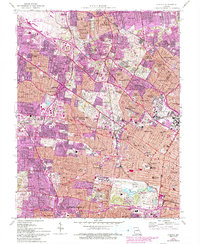
1954 Map of Clayton
USGS Topo · Published 1993About this map
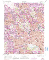
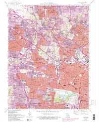
Washington University and the massive Forest Park anchor the southeastern corner of this mid-century study of the St. Louis suburbs. The landscape reflects the rapid postwar expansion of the region, where older institutions like Concordia Seminary and Fontbonne College are surrounded by a dense network of residential developments and parochial schools. To the northwest, the Lambert-St Louis International Airport serves as a major regional hub, while the presence of the Ordnance Plant near Wellston and the U S Army Records Center highlights the area's strategic federal footprint during the Cold War.
Find a feature on this map
119 named features on this map. Tap any name to fly to it.
Don’t see what you’re looking for? This feature index may not catch every label — zoom into the map to look around manually.
Map Details
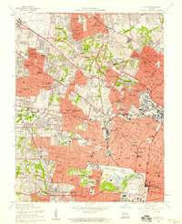
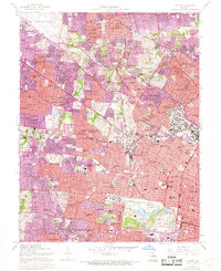
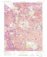
Editions of this 1954 Clayton Map
6 editions found
Other maps of this area

1888 · St. Louis
USGS Topo · 1:62,500

1924 · Robertson
USGS Topo · 1:24,000

1927 · Alton
USGS Topo · 1:62,500

1927 · St. Charles
USGS Topo · 1:62,500

1933 · Creve Coeur
USGS Topo · 1:24,000

1933 · Granite City
USGS Topo · 1:24,000

1933 · Jefferson Barracks
USGS Topo · 1:24,000

1933 · Cahokia
USGS Topo · 1:24,000

1933 · Clayton
USGS Topo · 1:24,000

1933 · Saint Charles
USGS Topo · 1:62,500