2020s Maps of Saline County, Missouri
Explore 22 historic maps of Saline County from the 2020s. These maps offer a rare glimpse into what life looked like during the 2020s — showing old roads, neighborhoods, homes, and landmarks that have changed or disappeared over time.
Whether you're researching your family's past, planning a metal detecting trip, or studying how Saline County's landscape evolved across the 2020s, these high-resolution maps are a powerful tool for exploring the history of this region.
- Focus on a specific era: All maps on this page are from the 2020s, giving you a focused view of this time period.
- See what’s changed: Compare century-old streets, trails, and buildings to today's modern landscape using overlays and satellite layers.
- Research with precision: Use these maps for genealogy, historical research, land use analysis, or educational projects.
- View, download, or print: Maps are fully viewable online in high resolution, and can be downloaded or printed for your own records.
Start exploring Saline County's history through authentic maps from the 2020s. This is your window into the past.
Saline County, MO maps
(22)- 2021 Map of Sweet Springs, 2021 Print
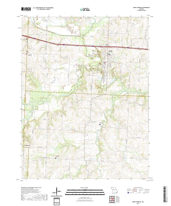 2021 Sweet Springs2021 Print · USGSSweet Springs and the tri-county border area of Saline, Lafayette, and Pettis counties are shown in this 2021 study. Researchers can trace rural lineages through sites like Fairview Cem and Blackwater Chapel Cem or locate the quiet settlements of Emma and Dunksburg.
 - 2021 Map of Houstonia, 2021 Print
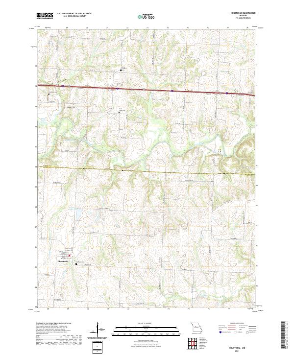 2021 Houstonia2021 Print · USGSThe Pettis County countryside near the Saline County line is shown here in the early 21st century, centered on the rural hub of Houstonia. Researchers can trace local lineage through numerous grounds including Christ Lutheran Cem or follow the Blackwater River past McAllister Springs.
 - 2021 Map of Cambridge, 2021 Print
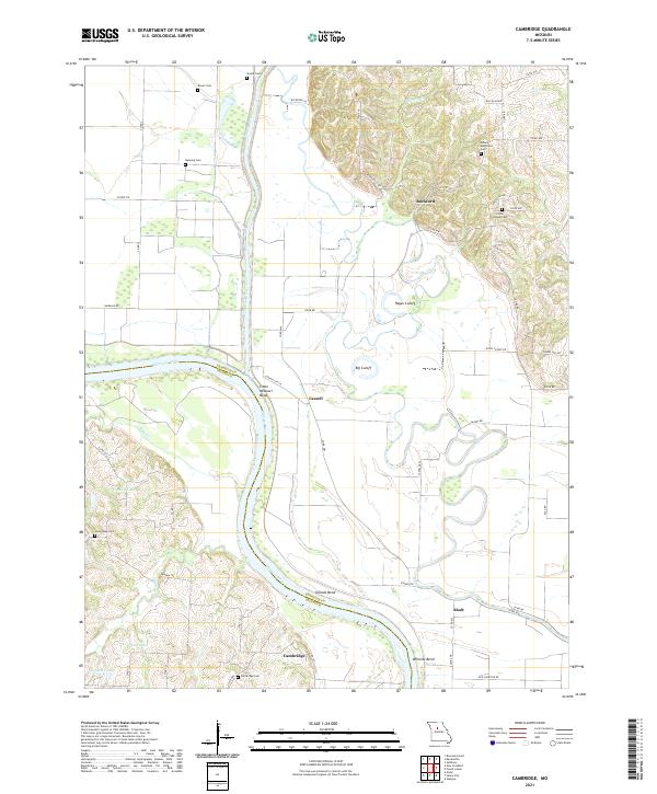 2021 Cambridge2021 Print · USGSThe Missouri River bottoms and Chariton County uplands come into focus in this contemporary survey of the river's winding bends. Researchers can trace family history through numerous rural burial sites like Cambridge Cem and Porter Chapel Cem or locate the quiet settlements of Aholt and Cazzell.
 - 2021 Map of Nelson, 2021 Print
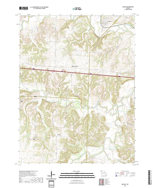 2021 Nelson2021 Print · USGSThe Missouri riverlands at the junction of Saline, Cooper, and Pettis counties are preserved here in the early twenty-first century. Researchers can trace local lineage and rural development through landmarks like Millers Chapel Cem, Postal, and Embry Lake.
 - 2021 Map of Longwood, 2021 Print
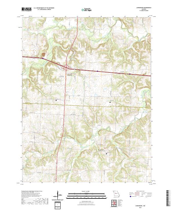 2021 Longwood2021 Print · USGSThe rural borderlands of Saline and Pettis counties are captured here in the early twenty-first century as agricultural traditions meet modern highway corridors. Researchers can locate family landmarks like the Witcher Family Cem and Longwood Cem, or trace the winding course of the Blackwater River.
 - 2021 Map of Saline City, 2021 Print
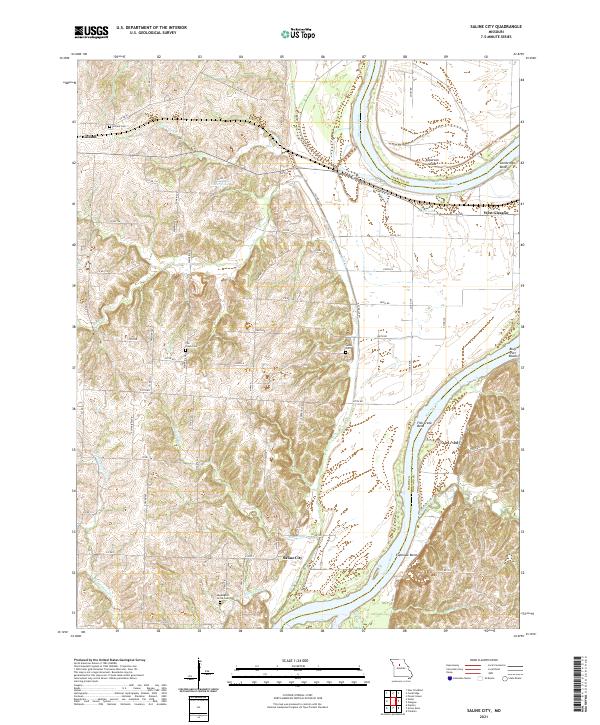 2021 Saline City2021 Print · USGSThe Missouri River meanders through Saline and Howard counties in this recent survey of the Missouri heartland. Genealogists can locate family burial sites at Sappington Grove Cem and Fish Creek Cem or trace the rural roads connecting Saline City and Gilliam.
 - 2021 Map of Glasgow, 2021 Print
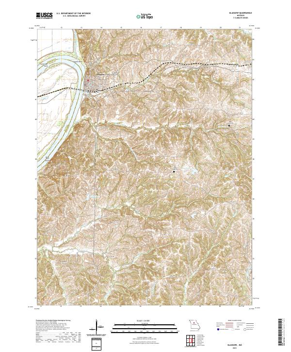 2021 Glasgow2021 Print · USGSThe Missouri River bluffs and the riverfront town of Glasgow are captured here in the early 2020s. Genealogists can locate several local burial grounds including Washington Cem and Sugar Grove Cem alongside landmarks like Glasgow Bend.
 - 2021 Map of Arrow Rock, 2021 Print
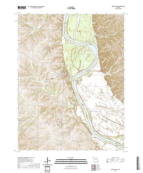 2021 Arrow Rock2021 Print · USGSThe Missouri River bluffs and bottomlands are surveyed here in 2021, showing the area as it remains today. Genealogists and historians can trace routes like the Lewis And Clark Trail of Discovery Trl and locate Arrow Rock Cem or Lisbon.
 - 2021 Map of Brunswick East, 2021 Print
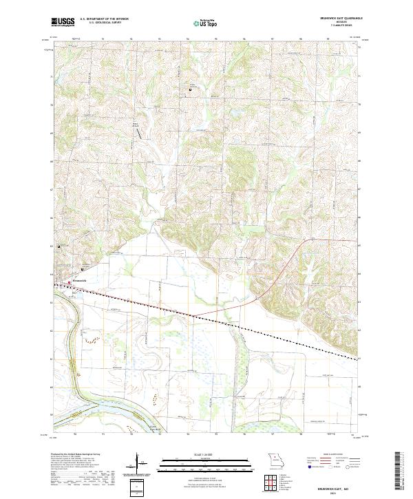 2021 Brunswick East2021 Print · USGSChariton County's riverfront comes into focus in this recent survey of the lands around the Missouri River. Genealogists and historians can trace local family landmarks and burial sites including Brunswick City Cem, Prairie Dell Cem, and the river junction at Grand River Bend.
 - 2021 Map of Marshall North, 2021 Print
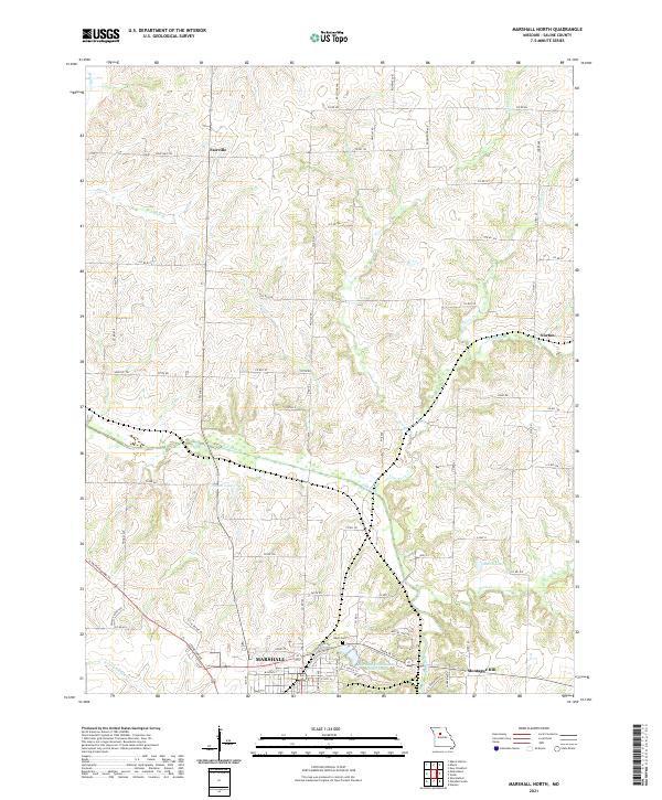 2021 Marshall North2021 Print · USGSSaline County's agricultural heartland is documented here in the early twenty-first century, centered on the northern expansion of Marshall. Genealogists and local historians can trace the rural communities of Fairville and Norton or locate family sites near Odell Cem and the historic Santa Fe Trl.
 - 2021 Map of Shackleford, 2021 Print
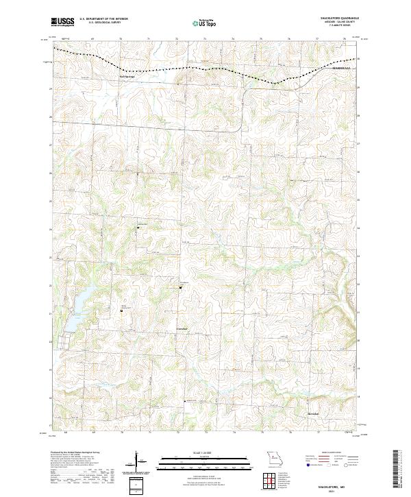 2021 Shackleford2021 Print · USGSSaline County remains a landscape of quiet rural settlements and family cemeteries in the early twenty-first century. Genealogists can locate specific burial sites like Antioch Cem and Providence Cem or trace the early paths of Salt Springs.
 - 2021 Map of Carrollton East, 2021 Print
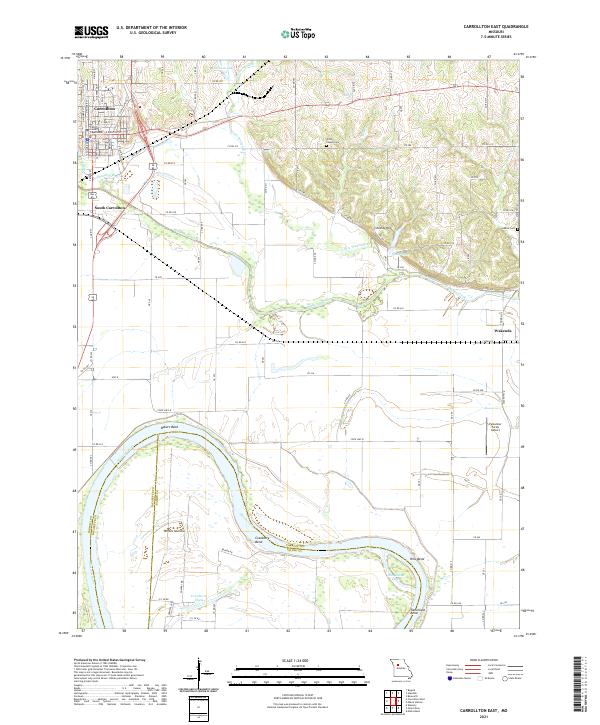 2021 Carrollton East2021 Print · USGSCarrollton and the surrounding Missouri River bottomlands are captured in detail during the early 2020s. Researchers can trace family roots at Willis Chapel Cem or locate specific town lots near the Carroll County Courthouse and South Carrollton.
 - 2021 Map of Slater, 2021 Print
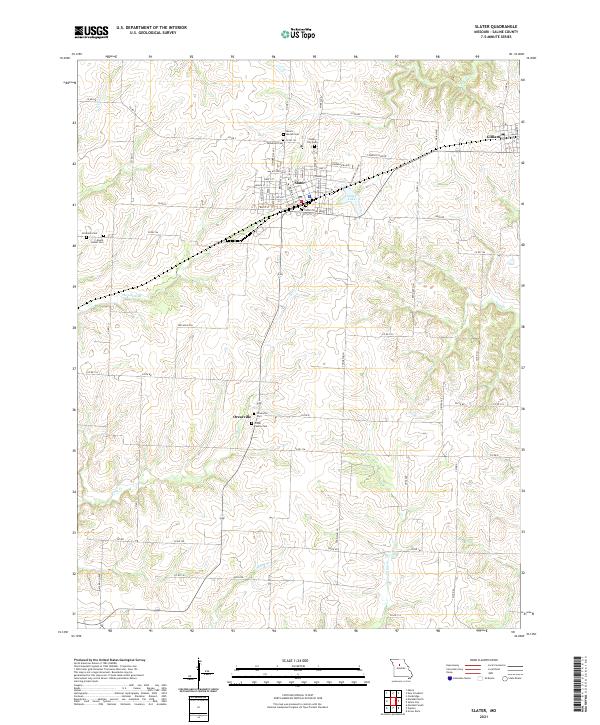 2021 Slater2021 Print · USGSSaline County’s agricultural heartland is documented here in the early 2020s, centered on the historic railroad town of Slater. Genealogists can trace several local burial sites including the Orear Family Cem, Hickman Cem, and Rehoboth Cem.
 - 2021 Map of Blackburn, 2021 Print
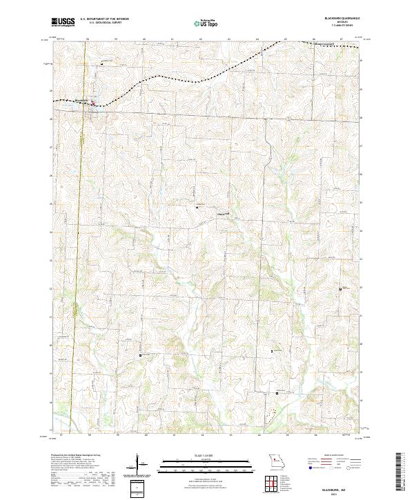 2021 Blackburn2021 Print · USGSThe border of Saline and Lafayette counties comes into focus in this contemporary survey of the rural Missouri heartland. Researchers can trace family history through numerous burial sites like Allen Cem, Gross Cem, and Mount Zion Cem scattered across the farmland.
 - 2021 Map of Marshall South, 2021 Print
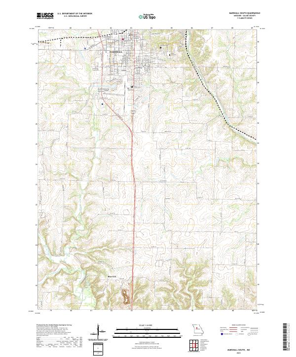 2021 Marshall South2021 Print · USGSSaline County’s seat and its surrounding farmstead reaches are meticulously documented during the early 2020s. Genealogists can trace family plots at Sunset Gardens Cem and Ridge Park Cem, or locate the historic grounds of Missouri Valley College.
 - 2021 Map of Brunswick West, 2021 Print
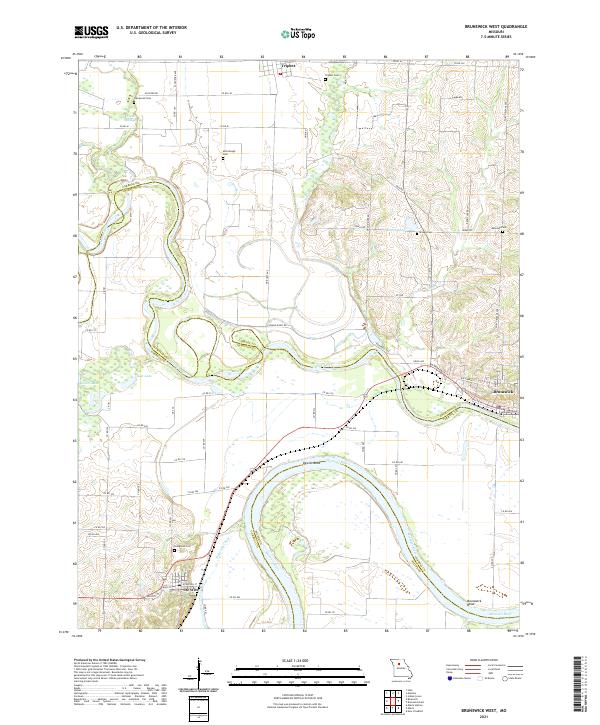 2021 Brunswick West2021 Print · USGSThe Missouri River bottoms and the confluence of the Grand River are captured in this recent survey. Genealogists and local historians can trace family locations near Evergreen Cem, De Witt, and the oxbows of Dewitt Bend.
 - 2021 Map of Miami Station, 2021 Print
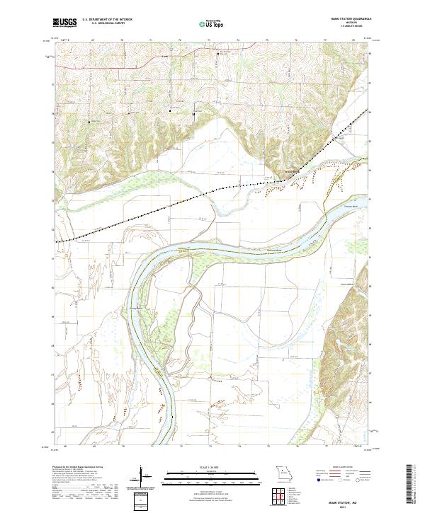 2021 Miami Station2021 Print · USGSThe Missouri River lowlands of Carroll and Saline Counties are shown here during the early 2020s. Genealogists and local historians can trace family-named cemeteries like Cannon Cem and Elder Cem or locate the settlement at Miami Station.
 - 2021 Map of New Frankfort, 2021 Print
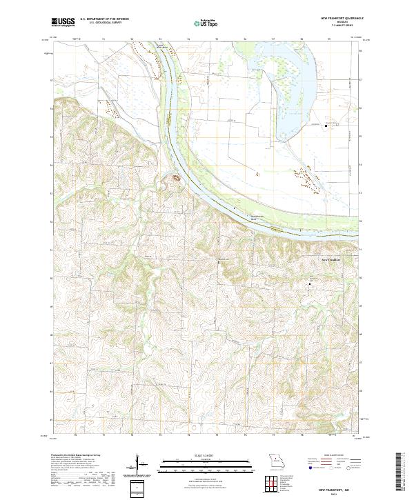 2021 New Frankfort2021 Print · USGSThe Missouri River bottomlands and bluffs of Saline County are shown here in detail during the early 2020s. Genealogists and local historians can trace the sites of New Frankfort Cem, High Hill Cem, and the river bends at Bushwhacker Bend and Grand River Bend.
 - 2021 Map of Malta Bend, 2021 Print
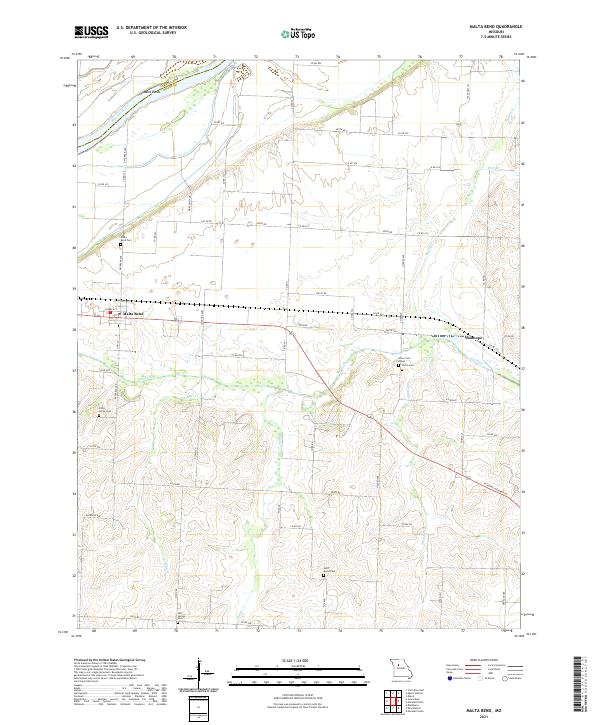 2021 Malta Bend2021 Print · USGSThe Missouri River floodplain and the community of Malta Bend are captured in this modern digital survey of Saline County. Local historians can trace family roots through several landmarks including Salt Springs Cem, Stanhope, and Saint Marys Cem.
 - 2021 Map of Napton, 2021 Print
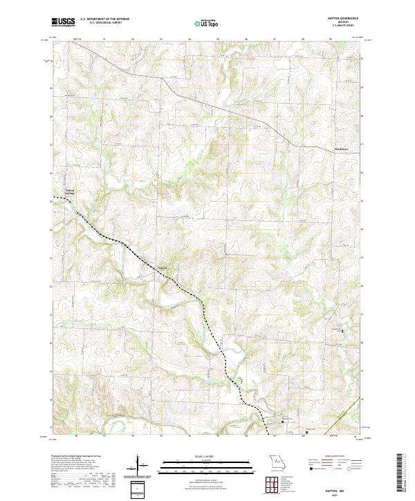 2021 Napton2021 Print · USGSSaline County agricultural lands and river bottoms are documented here in the early twenty-first century. Genealogists and local historians can locate family landmarks like Sappington Cem and Nelson Cem or trace the winding course of the Blackwater River.
 - 2021 Map of Miami, 2021 Print
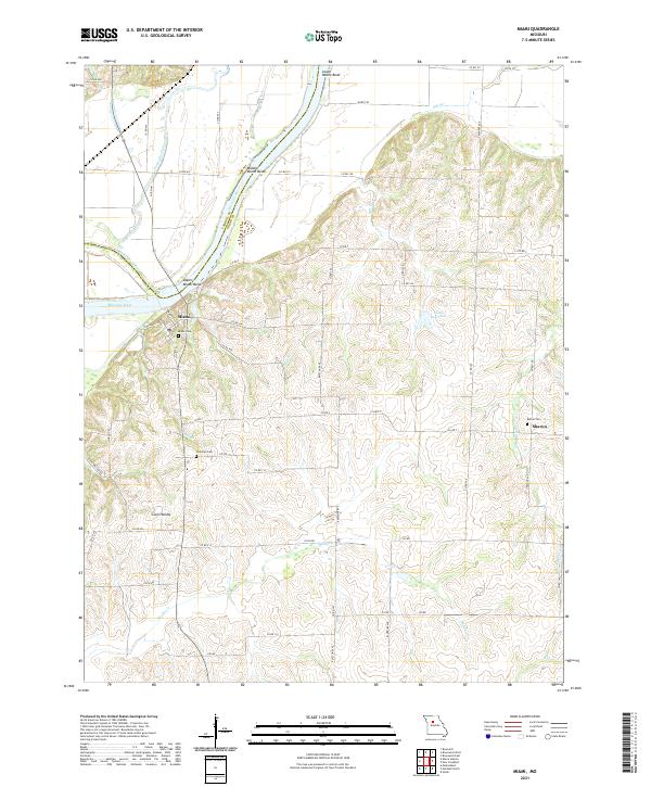 2021 Miami2021 Print · USGSThe Missouri River bluffs in Saline County are the focus of this contemporary survey, showing the town of Miami perched above the river bends. Researchers can trace rural cemeteries such as Bethel Cem and Christian Cem alongside landmarks like Elson Reservoir.
 - 2021 Map of Grand Pass, 2021 Print
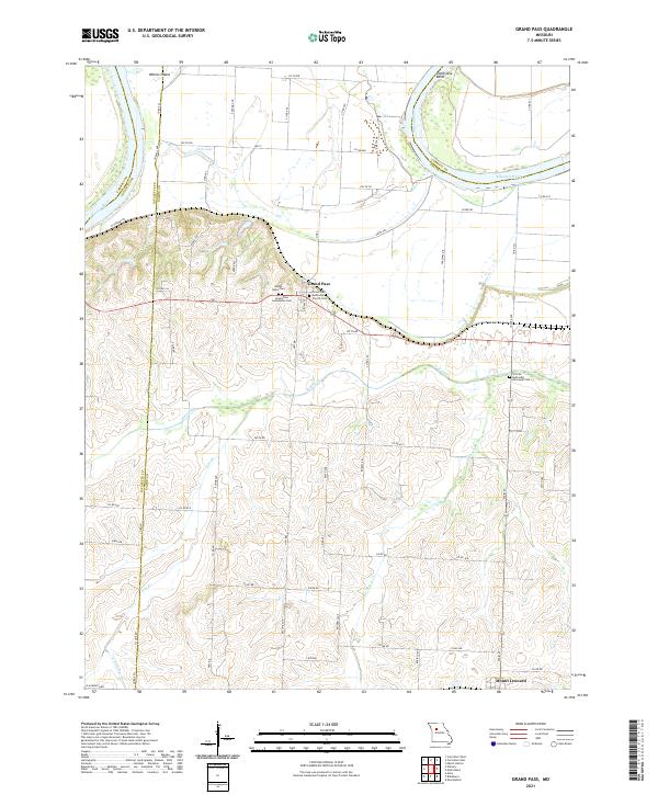 2021 Grand Pass2021 Print · USGSGrand Pass and the northern reaches of Saline County are captured here in the early twenty-first century as the landscape remains tied to the Missouri River. Genealogists can locate several burial grounds including Mount Nebo Cem, Grand Pass Community Cem, and the African Methodist Episcopal Cem.
End of results
Showing maps 1-22 of 22
Top cities of Saline County
- Marshall historical maps
- Slater historical maps
- Sweet Springs historical maps
- Malta Bend historical maps
- Gilliam historical maps
- Nelson historical maps
See more
Frequently asked questions
- What are the different types of historical maps available for Saline County?
- What is the oldest map of Saline County?
- Where can I purchase historical maps of Saline County for my home or office?
- Where can I download high-res historical maps of Saline County?
- Are there historical topographic maps available for Saline County?
- Is there historical aerial imagery available for Saline County?
- Where are historical maps of Saline County sourced from?