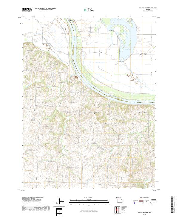
2021 Map of New Frankfort
USGS Topo · Published 2021About this map
The Missouri River and its shifting floodplains define the geography of this Saline County region, where the river separates Saline and Chariton counties. The settlement of New Frankfort sits atop the bluffs overlooking the river valley, marking a point of transition between the river bottomlands and the rolling hills to the south. The hydrological history of the area is evident in features like Cut-Off Lake and the wide arcs of Grand River Bend and Bushwhacker Bend, illustrating the natural movement of the river channel over time.
Find a feature on this map
48 named features on this map. Tap any name to fly to it.
Don’t see what you’re looking for? This feature index may not catch every label — zoom into the map to look around manually.
Map Details
Editions of this 2021 New Frankfort Map
This is the sole edition of this map. No revisions or reprints were ever made.
Other maps of this area

1890 · Glasgow
USGS Topo · 1:125,000

1890 · Marshall
USGS Topo · 1:125,000

1892 · Marshall
USGS Topo · 1:125,000

1901 · Marshall
USGS Topo · 1:125,000

1940 · Marshall
USGS Topo · 1:62,500

1944 · Marshall
USGS Topo · 1:62,500

1947 · Glasgow
USGS Topo · 1:62,500

1951 · Miami
USGS Topo · 1:24,000

1951 · Brunswick West
USGS Topo · 1:24,000

1951 · Brunswick East
USGS Topo · 1:24,000