
1951 Map of Brunswick East
USGS Topo · Published 1952About this map
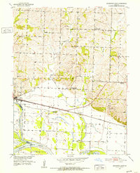
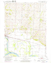
Brunswick sits at the western edge of this 1951 survey, where the Wabash railroad tracks cross the landscape toward the confluence of the Chariton River and the Missouri River. The area is defined by its complex water management, featuring an extensive network of Levees and a prominent Pipe Line that cuts across the river bottoms. The map reveals a changing rural educational landscape in the early 1950s, with several landmarks like Hickory Grove Sch, Warden Sch, and Bluff Point Sch already marked as abandoned.
Find a feature on this map
26 named features on this map. Tap any name to fly to it.
Don’t see what you’re looking for? This feature index may not catch every label — zoom into the map to look around manually.
Map Details
Editions of this 1951 Brunswick East Map
3 editions found
Other maps of this area

1890 · Glasgow
USGS Topo · 1:125,000

1890 · Marshall
USGS Topo · 1:125,000

1892 · Marshall
USGS Topo · 1:125,000

1901 · Marshall
USGS Topo · 1:125,000

1949 · Mendon
USGS Topo · 1:24,000

1949 · Indian Grove
USGS Topo · 1:24,000

1951 · Miami
USGS Topo · 1:24,000

1951 · Brunswick West
USGS Topo · 1:24,000
1951 · New Frankfort
USGS Topo · 1:24,000

1953 · Moberly
USGS Topo · 1:250,000