Old Maps of Sikeston, Missouri for Hiking & Exploration
Hike through history with 21 historic maps of Sikeston. Explore old trails, ghost towns, and forgotten backroads — perfect for outdoor adventurers and local explorers.
- Rediscover forgotten places: Map out old mining camps, roads, and footpaths that no longer exist on modern maps.
- Layer with modern tools: Combine with LiDAR or satellite views to plan hikes through historical terrain.
- Made for exploration: Popular among hikers, overlanders, and local history lovers.
Use these maps to find adventure and explore the hidden past of Sikeston.
Sikeston, MO maps
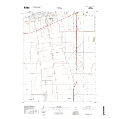
(21)- 1931 Map of Sikeston
 1931 Sikeston1931 Print · USGSSikeston and the surrounding Bootheel lowlands are captured here in the early 1930s as a massive drainage network transformed the landscape into fertile farmland. Researchers can trace the development of small rail towns like Morehouse and Canalou alongside old country schools like Stringer Sch and Hale Sch.2 unique versions available
 - 1934 Map of Sikeston
 1934 Sikeston1934 Print · USGSSikeston and the surrounding Scott County lowlands are captured here in the 1930s as a thriving rail and drainage network. Genealogists can trace family roots through dozens of rural sites like Carpenter Cem, Silent Hill Ch, and the Warner Sch.2 unique versions available
 - 1939 Map of Sikeston
 1939 Sikeston1939 Print · USGSIn the 1930s, the Missouri Bootheel was a landscape defined by industrial-scale drainage and a dense rail network. Trace the legacy of rural education and faith at Silent Hill Ch, Landers Ridge Sch, and the community of Morehouse.
 - 1956 Map of Dyersburg, 1960 Print
 1956 Dyersburg1960 Print · USGSThe Four Rivers region comes alive in the mid-fifties, capturing the intricate borderlands of Tennessee, Kentucky, and Missouri. Genealogists and historians can trace the rail-and-river networks connecting Dyersburg, Caruthersville, and the shoreline of Reelfoot Lake.4 unique versions available
 - 1963 Map of Sikeston North, 1964 Print
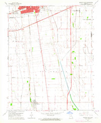
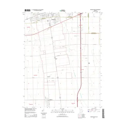
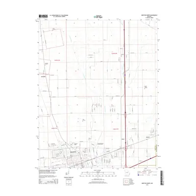
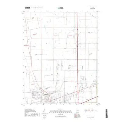
 1963 Sikeston North1964 Print · USGSSikeston was a growing hub of the Missouri bootheel in the early 1960s, centered at the crossing of major rail lines. Family historians can trace numerous rural burial grounds like Hunter Cem and Gobb Cem, or find local landmarks like the Drive-in Theater.2 unique versions available
 - 1963 Map of Vanduser, 1964 Print
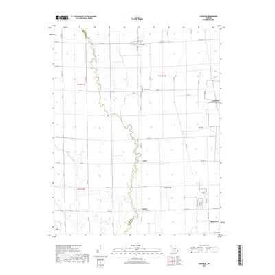
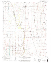 1963 Vanduser1964 Print · USGSIn the Missouri Bootheel during the early 1960s, the landscape around Vanduser was defined by its rail-line settlements and complex drainage works. Researchers can trace family roots at Carpenter Cem and explore the rail corridor through Crowder and Tanner.2 unique versions available
 - 1963 Map of Sikeston South, 1964 Print
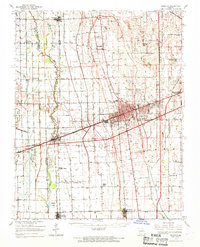
 1963 Sikeston South1964 Print · USGSThe Missouri Bootheel was undergoing significant growth in the 1960s as Sikeston expanded across the high ground of Sikeston Ridge. Genealogists and researchers can trace local landmarks like Little Vine Ch, Matthews Sch, and the St Louis - San Francisco rail corridor.3 unique versions available
 - 1963 Map of Sikeston, 1968 Print
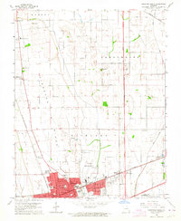
 1963 Sikeston1968 Print · USGSSikeston and the surrounding Missouri lowlands are captured here in the mid-sixties, showcasing a landscape shaped by drainage engineering and railroads. Researchers can trace family sites at Silent Hill Cem, find the Pharris Ridge Sch, or locate the old Drive-in Theater.
 - 1985 Map of Sikeston, 1986 Print
 1985 Sikeston1986 Print · USGSThe Missouri Bootheel and the four-state river convergence are captured in the mid-eighties as the modern agricultural and rail networks matured. Researchers can locate regional landmarks like the Towosahgy State Historic Site, Oak Grove Cem, and towns along the St Louis Southwestern Railroad.2 unique versions available
 - 2012 Map of Sikeston North, 2012 Print
 2012 Sikeston North2012 Print · USGSCovers Sikeston, including McMullin, Miner, and other nearby areas
 - 2012 Map of Vanduser, 2012 Print
 2012 Vanduser2012 Print · USGSCovers Sikeston, including Vanduser, Tanner, and other nearby areas
 - 2012 Map of Sikeston South, 2012 Print
 2012 Sikeston South2012 Print · USGSCovers Sikeston, including Matthews, Champion, and other nearby areas
 - 2015 Map of Vanduser, 2015 Print
 2015 Vanduser2015 Print · USGSCovers Sikeston, including Vanduser, Tanner, and other nearby areas
 - 2015 Map of Sikeston South, 2015 Print
 2015 Sikeston South2015 Print · USGSCovers Sikeston, including Matthews, Champion, and other nearby areas
 - 2015 Map of Sikeston North, 2015 Print
 2015 Sikeston North2015 Print · USGSCovers Sikeston, including McMullin, Miner, and other nearby areas
 - 2017 Map of Sikeston North, 2017 Print
 2017 Sikeston North2017 Print · USGSCovers Sikeston, including McMullin, Miner, and other nearby areas
 - 2017 Map of Vanduser, 2017 Print
 2017 Vanduser2017 Print · USGSCovers Sikeston, including Vanduser, Tanner, and other nearby areas
 - 2017 Map of Sikeston South, 2017 Print
 2017 Sikeston South2017 Print · USGSCovers Sikeston, including Matthews, Champion, and other nearby areas
 - 2021 Map of Sikeston North, 2021 Print
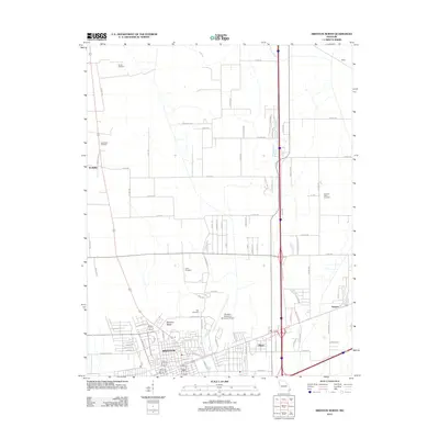
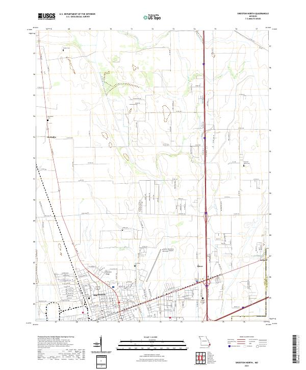 2021 Sikeston North2021 Print · USGSThe northern edge of Sikeston and the fertile fields of Scott County come alive in this recent survey. Researchers can trace family history through numerous rural burial sites like Hunter Cem and Bright Prospect Cem or locate the small siding at Sargent.
 - 2021 Map of Sikeston South, 2021 Print
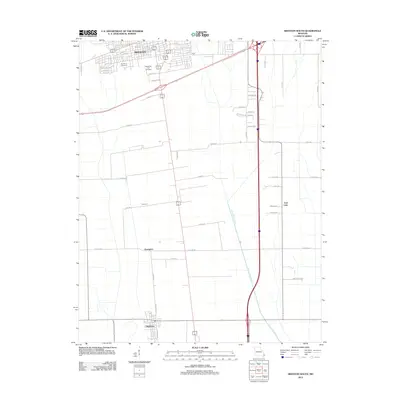
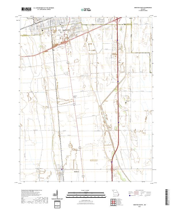 2021 Sikeston South2021 Print · USGSSikeston and the surrounding Bootheel plains are captured here in the early twenty-first century as the region continues its legacy of agriculture and transport. Researchers can trace local burial sites like Little Vine Cem or follow the path of Saint Johns Ditch through Matthews.
 - 2021 Map of Vanduser, 2021 Print
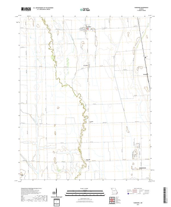 2021 Vanduser2021 Print · USGSSoutheast Missouri’s agricultural lowlands are captured here in the early twenty-first century, showing a landscape of small crossroads and drainage networks. Researchers can locate family landmarks like Carpenter Cem and trace the paths of Little River and Mud Slough.
End of results
Showing maps 1-21 of 21
Top cities near Sikeston
- Charleston historical maps
- East Prairie historical maps
- Oran historical maps
- Morehouse historical maps
- Morley historical maps
- Benton historical maps
See more
Frequently asked questions
- What are the different types of historical maps available for Sikeston?
- What is the oldest map of Sikeston?
- Where can I purchase historical maps of Sikeston for my home or office?
- Where can I download high-res historical maps of Sikeston?
- Are there historical topographic maps available for Sikeston?
- Is there historical aerial imagery available for Sikeston?
- Where are historical maps of Sikeston sourced from?