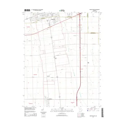
2015 Map of Sikeston South
USGS Topo · Published 2015About this map
Sikeston anchors the northern reaches of this Missouri Bootheel landscape, positioned atop the slightly elevated Sikeston Ridge. This 2015 survey reveals a community deeply integrated with its agricultural and hydrological surroundings, where the massive Saint Johns Ditch and drainage features like East Lake reflect a century of water management in the Mississippi River floodplain. The map is a vital resource for genealogists, detailing three distinct burial grounds: the City Cemetery, Memorial Park Cemetery, and the Garden of Memories.
Find a feature on this map
72 named features on this map. Tap any name to fly to it.
Don’t see what you’re looking for? This feature index may not catch every label — zoom into the map to look around manually.
Map Details
Editions of this 2015 Sikeston South Map
This is the sole edition of this map. No revisions or reprints were ever made.
Other maps of this area

1931 · Sikeston
USGS Topo · 1:62,500

1934 · Sikeston
USGS Topo · 1:62,500

1939 · Sikeston
USGS Topo · 1:62,500

1939 · Charleston
USGS Topo · 1:62,500

1939 · New Madrid
USGS Topo · 1:62,500

1939 · Bayouville
USGS Topo · 1:62,500

1954 · Charleston
USGS Topo · 1:62,500

1954 · New Madrid
USGS Topo · 1:62,500

1955 · Bayouville
USGS Topo · 1:62,500

1956 · Dyersburg
USGS Topo · 1:250,000