Old Maps of Beal, Missouri for Genealogy
Trace your family roots with 18 historic maps of Beal. These high-res maps reveal old neighborhoods, homesites, landmarks, and streets — helping you uncover where your ancestors lived and how the area evolved over time.
- Explore historic neighborhoods: Identify where your relatives may have lived in the 1800s or 1900s.
- Compare maps over time: Trace the changes in streets, buildings, and landmarks for multi-generational research.
- Perfect for genealogy & ancestry research: Used by family historians and researchers to map out lineage and migration.
These maps are an incredible resource for exploring your personal connection to Beal's past.
Beal, MO maps
(18)- 1928 Map of Cardareva
 1928 Cardareva1928 Print · USGSThe Missouri Ozarks are captured here in the late 1920s, centered on the winding Current River corridor and its historic river-ford crossings. Genealogists can trace early rural life through numerous sites like Cardareva School, Banker Cave, and the settlement of Deslet.2 unique versions available
 - 1949 Map of Rolla, 1950 Print
 1949 Rolla1950 Print · USGSThe Missouri Ozarks are captured here just after the war, showing a landscape of deep river valleys and emerging reservoir projects. Genealogists and historians can trace the mining towns of Bonne Terre and Potosi or follow the early route of U.S. Highway 66.
 - 1949 Map of Cardareva, 1957 Print
 1949 Cardareva1957 Print · USGSThe mid-century Ozark backcountry along the Current River is detailed here, showing a landscape of river-bend settlements and deep hollows. Researchers can trace rural life through numerous fords and one-room schoolhouses like Owls Bend School and Cardareva Ford.
 - 1953 Map of Rolla
 1953 Rolla1953 Print · USGSSoutheast Missouri’s mining towns and timberlands are seen here at the start of the 1950s. Genealogists and historians can trace the rail-and-river economy through local hubs like Fredericktown and the lead-mining heritage of Potosi and Desloge.
 - 1954 Map of Rolla, 1970 Print
 1954 Rolla1970 Print · USGSThe Missouri Ozarks and the historic Lead Belt are captured in the late sixties, showing a landscape of deep river hollows and industrial mines. Researchers can trace the routes of the Missouri Pacific RR to extraction sites like the Iron Mountain Mine or Pea Ridge Mine.2 unique versions available
 - 1958 Map of Rolla
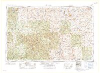 1958 Rolla1958 Print · USGSThe Missouri Ozarks and the lead-rich hills of the southeast are captured here in the late fifties as timber and mining shaped the local economy. Researchers can locate family landmarks like the Rolla Cemetery or trace old rail lines including the Missouri-Illinois RR and St Louis-San Francisco RR.
 - 1959 Map of Rolla
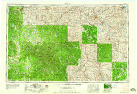 1959 Rolla1959 Print · USGSMid-century Missouri is defined here by the deep forests of the Ozarks and the industrial peaks of the St Francois Mountains. Genealogists and historians can trace the development of towns like Potosi and Fredericktown or locate rural landmarks like Dry Fork Church and the Phelps County Courthouse.
 - 1960 Map of Rolla
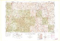 1960 Rolla1960 Print · USGSThe Ozark Highlands in the mid-twentieth century reveal a landscape of deep timber and heavy industry. Researchers can trace the rail-and-mine economy through the St Louis-San Francisco RR and the Iron Mountain Mine, alongside the growth of Fort Leonard Wood.
 - 1965 Map of Van Buren North, 1966 Print
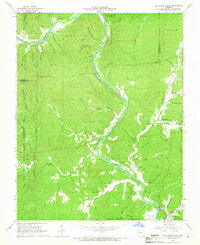 1965 Van Buren North1966 Print · USGSThe Current River valley north of Van Buren is shown here in the mid-1960s, a landscape defined by deep hollows and isolated Ozark settlements. Genealogists can locate family landmarks like Collins Cem, Galbraith Cem, and the Bible Ch tucked between the ridges.4 unique versions available
 - 1966 Map of Rolla
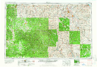 1966 Rolla1966 Print · USGSThe Missouri Ozarks are revealed here in the mid-1960s, showing the intersection of heavy industry and sprawling national forests. Trace the development of the Lead Belt near Flat River or locate family roots in vanished hamlets like Enough and Howes Mill.
 - 1971 Map of Rolla
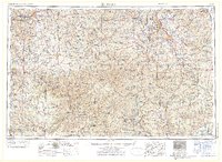 1971 Rolla1971 Print · USGSThe Missouri Ozarks are captured here during the early seventies, showing a landscape of deep river valleys and industrial mining towns. Researchers can trace historic lead mining operations at St Joseph Mines and locate rural landmarks like Viburnum and the Galveston Trail.
 - 1986 Map of Spring Valley
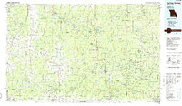 1986 Spring Valley1986 Print · USGSThe Missouri Ozarks are showcased in the mid-1980s, revealing a landscape defined by state forests and the protected waters of the Current River. Researchers can trace local heritage through landmarks like Oakside Ch, Fletcher Mine, and Summersville Cem.2 unique versions available
 - 1989 Map of Rolla
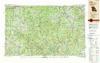 1989 Rolla1989 Print · USGSThe Missouri Ozarks are captured in the late eighties as a landscape of national forests and historic mining towns. Researchers can trace the rail lines of the Missouri Pacific RR or locate landmarks like Taum Sauk Mtn and Elephant Rocks State Park.
 - 1997 Map of Van Buren North, 1999 Print
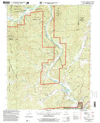 1997 Van Buren North1999 Print · USGSThe Missouri Ozarks are captured here in the late twentieth century as the region balanced conservation and local settlement. Genealogy researchers can trace family landmarks like Galbraith Cemetery and Bible Church near the Current River corridor.
 - 2011 Map of Van Buren North, 2011 Print
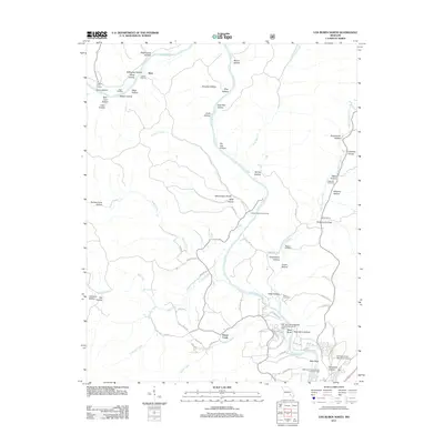 2011 Van Buren North2011 Print · USGSThe Current River valley north of Van Buren is shown here in the early twenty-first century, featuring a landscape of deep hollows and active river access points. Genealogists and local historians can locate family landmarks like Maberry Cemetery, Beal Landing, and the Collins Cemetery.
 - 2015 Map of Van Buren North, 2015 Print
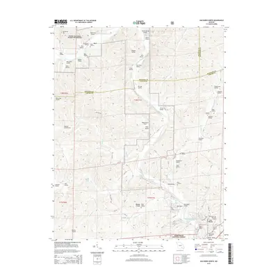 2015 Van Buren North2015 Print · USGSThe Ozark river country comes to life in this survey of the Current River valley during the mid-2010s. Researchers can trace family history at Collins Cemetery or Reed Cemetery and locate small settlements like Beal and House Creek among the many named hollows.
 - 2017 Map of Van Buren North, 2017 Print
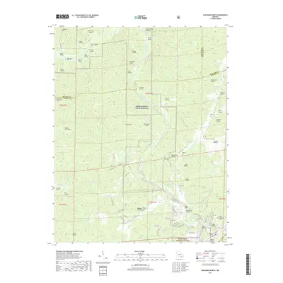 2017 Van Buren North2017 Print · USGSThe northern reaches of Carter County are documented here in the early twenty-first century as the Current River winds through the Ozark wilderness. Genealogists can locate several family burial sites like Collins Cem and Reed Cem, or trace the rural roads surrounding the settlement of Van Buren.
 - 2021 Map of Van Buren North, 2021 Print
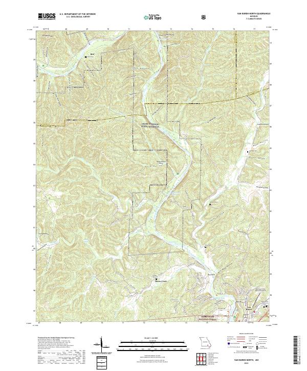 2021 Van Buren North2021 Print · USGSThe Ozark river country comes into focus in this recent survey of Carter County, where the winding Current River meets the hills of the Mark Twain National Forest. Researchers can locate several remote burial sites like Collins Cem and Reed Cem alongside distinctive river landmarks such as Watermelon Shoal.
End of results
Showing maps 1-18 of 18
Top cities near Beal
Frequently asked questions
- What are the different types of historical maps available for Beal?
- What is the oldest map of Beal?
- Where can I purchase historical maps of Beal for my home or office?
- Where can I download high-res historical maps of Beal?
- Are there historical topographic maps available for Beal?
- Is there historical aerial imagery available for Beal?
- Where are historical maps of Beal sourced from?