Old Maps of Collins, Missouri for Metal Detecting
Plan your next treasure hunt with 25 historic maps of Collins. Find old homesites, ghost towns, trails, and gathering spots that may be lost to time — perfect for identifying promising metal detecting locations.
- Locate forgotten sites: Uncover places like long-lost settlements, abandoned rail lines, or gathering spots.
- Plan better hunts: Use map overlays combined with LiDAR or satellite views to narrow in on historically rich areas.
- Made for detectorists: Thousands of hobbyists use these maps to discover relics, coins, and hidden history.
Use these historic maps to boost your research and find new opportunities beneath the surface of Collins.
Collins, MO maps
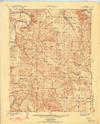
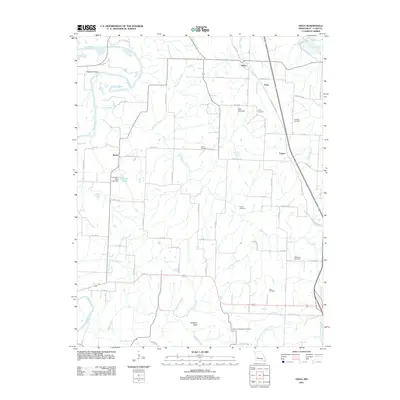
(25)- 1886 Map of Stockton
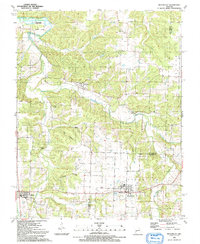
 1886 Stockton1886 Print · USGSSouthwest Missouri in the mid-1880s was a landscape of river-bottom farms and emerging rail towns along the Kansas City Clinton and Springfield R. R. Trace vanished post offices and local landmarks like Johnson's Mill, Dunnegan Springs, and the early streets of Stockton.3 unique versions available
 - 1938 Map of Vista, 1952 Print
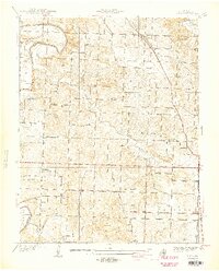
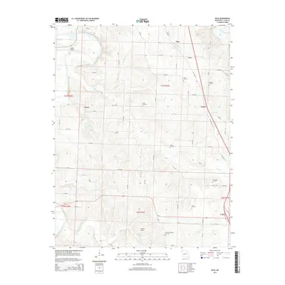
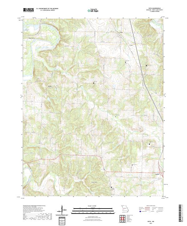
 1938 Vista1952 Print · USGSSt. Clair County's rural townships are captured in the late 1930s, showing a landscape of small family farms and community hubs before major modernization. Researchers can trace the path of the St Louis-San Francisco railroad or locate family burial sites at Doyal Cem and Allen Cem.2 unique versions available
 - 1940 Map of Vista
 1940 Vista1940 Print · USGSSt. Clair County was a landscape of small school districts and railroad stops just before the 1940s. Genealogists can trace family footprints through sites like Doyal Cem, Tower Grove Sch, and the St Louis-San Francisco rail line through Vista.2 unique versions available
 - 1940 Map of Weaubleau, 1954 Print
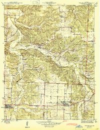
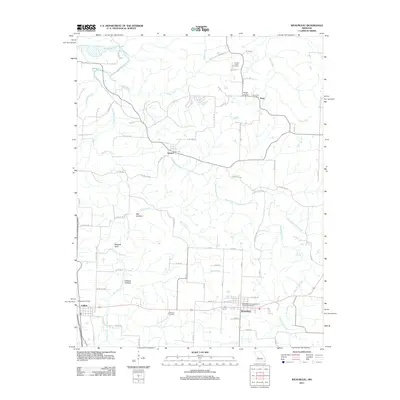
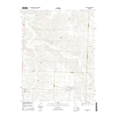
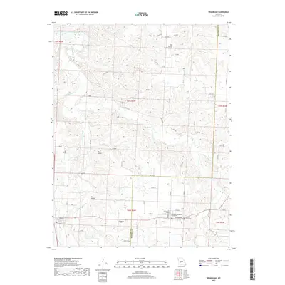
 1940 Weaubleau1954 Print · USGSThe St. Clair and Hickory county line area comes into focus in the 1940s, showing a landscape of rail-linked towns and local school districts. Trace family roots at Robinson Cem or explore the old routes through Gerster, Collins, and Weaubleau.2 unique versions available
 - 1944 Map of Humansville
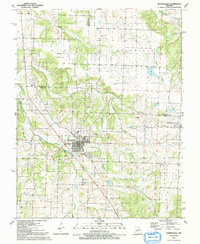
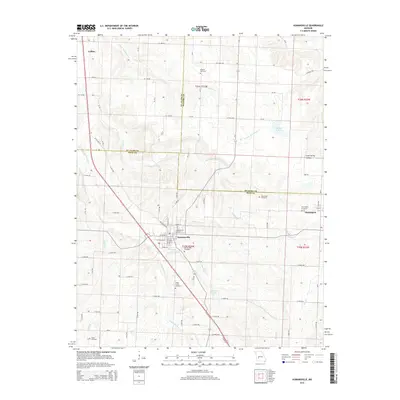
 1944 Humansville1944 Print · USGSNear the intersection of three counties in the mid-1940s, this area centered on a thriving rail and agricultural landscape. Local historians can trace family roots through numerous country schoolhouses like Elm Grove Sch and cemeteries such as Richardson Cem.3 unique versions available
 - 1944 Map of Weaubleau
 1944 Weaubleau1944 Print · USGSHickory and St. Clair Counties come into focus during the early 1940s as the railroad and rural school districts defined local life. Researchers can trace family-named landmarks and early homesteads near Weaubleau, Gerster, and Robinson Cem.2 unique versions available
 - 1954 Map of Springfield
 1954 Springfield1954 Print · USGSThe Missouri Ozarks are captured here during the post-war era, showing the expansion of Springfield and the surrounding river valleys. Genealogists and historians can trace local landmarks like Mount Comfort Cemetery and the Fort Leonard Wood military grounds.6 unique versions available
 - 1958 Map of Springfield
 1958 Springfield1958 Print · USGSThe Missouri Ozarks are captured during the mid-century era of growth, centered on the bustling hub of Springfield. Genealogists and historians can trace family roots through numerous landmarks like Ebenezer Church, Stockton Cem, and the various county courthouses.
 - 1959 Map of Springfield
 1959 Springfield1959 Print · USGSThe Missouri Ozarks are captured here during a decade of postwar growth and increasing highway connectivity. Researchers can trace the legacy of the St Louis-San Francisco RR and locate early sites in Springfield, Lebanon, and Mountain Grove.
 - 1984 Map of Bolivar
 1984 Bolivar1984 Print · USGSWestern Missouri in the mid-eighties shows a landscape shaped by large-scale water management and rail commerce. Genealogists and historians can trace the development of towns like Bolivar and El Dorado Springs alongside the massive Stockton Lake.
 - 1991 Map of Vista
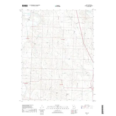
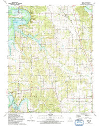 1991 Vista1991 Print · USGSIn the early 1990s, this area of St. Clair County shows a rural landscape shaped by the Harry S Truman Reservoir and the Sac River. Researchers can trace numerous family burial sites like Macedonia Cem and Roberts Cem or locate the Old Railroad Grade near Vista.
 - 1991 Map of Weaubleau
 1991 Weaubleau1991 Print · USGSLife along the Hickory and St. Clair county line in the early nineties centered on small agricultural hubs and creek valleys. Genealogists and historians can trace the Old Railroad Grade past Gerster or locate the Robinson Cem and Kings Prairie Ch.
 - 1991 Map of Humansville
 1991 Humansville1991 Print · USGSThe Polk County countryside near Humansville is shown here in the early nineties, centered on a landscape of prairie and creek valleys. Researchers can trace family history through numerous local sites like Flemington Cem, Rondo, and the Old Railroad Grade.
 - 2011 Map of Humansville, 2011 Print
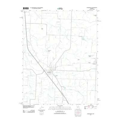 2011 Humansville2011 Print · USGSCovers Collins, including Humansville, Flemington, and other nearby areas
 - 2011 Map of Weaubleau, 2011 Print
 2011 Weaubleau2011 Print · USGSCovers Collins, including Weaubleau, Gerster, and other nearby areas
 - 2011 Map of Vista, 2011 Print
 2011 Vista2011 Print · USGSCovers Collins, including Vista, Topper, and other nearby areas
 - 2015 Map of Humansville, 2015 Print
 2015 Humansville2015 Print · USGSCovers Collins, including Humansville, Flemington, and other nearby areas
 - 2015 Map of Vista, 2015 Print
 2015 Vista2015 Print · USGSCovers Collins, including Vista, Topper, and other nearby areas
 - 2015 Map of Weaubleau, 2015 Print
 2015 Weaubleau2015 Print · USGSCovers Collins, including Weaubleau, Gerster, and other nearby areas
 - 2017 Map of Weaubleau, 2017 Print
 2017 Weaubleau2017 Print · USGSCovers Collins, including Weaubleau, Gerster, and other nearby areas
 - 2017 Map of Vista, 2017 Print
 2017 Vista2017 Print · USGSCovers Collins, including Vista, Topper, and other nearby areas
 - 2017 Map of Humansville, 2017 Print
 2017 Humansville2017 Print · USGSCovers Collins, including Humansville, Flemington, and other nearby areas
 - 2021 Map of Vista, 2021 Print
 2021 Vista2021 Print · USGSSt. Clair County's rural heartland is documented here in the early 2020s, showcasing the winding Sac River and a landscape of small agricultural settlements. Researchers can trace family roots through numerous burial sites like Union Cem and the Freeman - Holsapple Cem.
 - 2021 Map of Humansville, 2021 Print
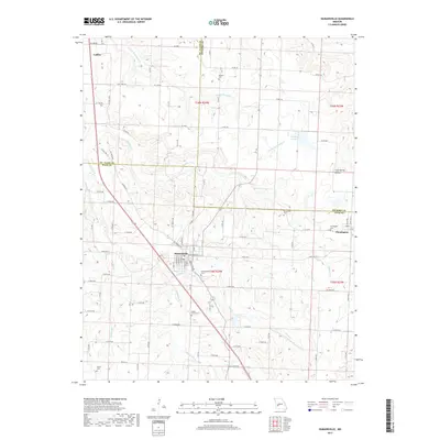
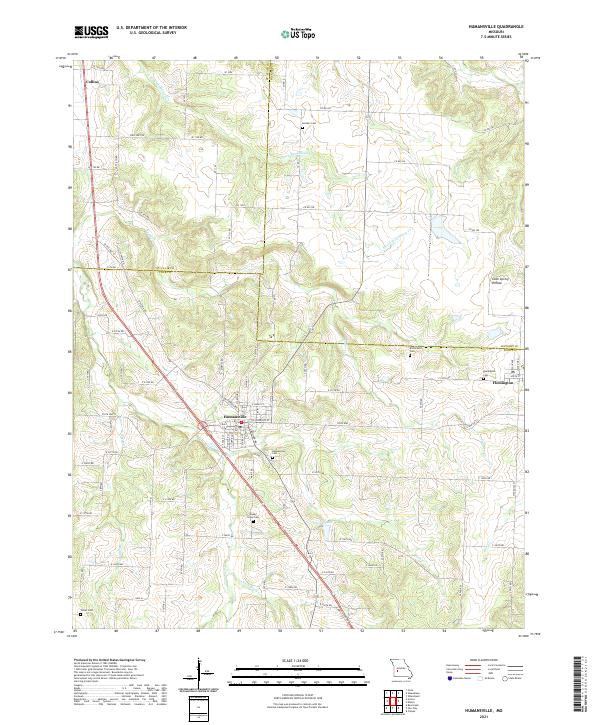 2021 Humansville2021 Print · USGSThe tri-county borderlands of Polk, St. Clair, and Hickory counties are documented in this recent survey. Local historians can trace family locations at Humansville Cem, Shady Grove Cem, and the quiet rural roads around Flemington.
 - 2021 Map of Weaubleau, 2021 Print
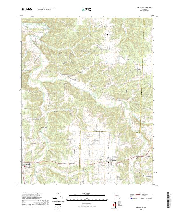 2021 Weaubleau2021 Print · USGSThe borderlands of St. Clair and Hickory counties come into focus in the early 2020s, centered on the historic crossroads of Weaubleau. Researchers can trace local heritage through landmarks like the Weaubleau Congregational Christian Cem and the rural reaches of Possum Hollow.
End of results
Showing maps 1-25 of 25
Top cities near Collins
- Stockton historical maps
- Humansville historical maps
- Osceola historical maps
- Weaubleau historical maps
- Wheatland historical maps
- Flemington historical maps
See more
Frequently asked questions
- What are the different types of historical maps available for Collins?
- What is the oldest map of Collins?
- Where can I purchase historical maps of Collins for my home or office?
- Where can I download high-res historical maps of Collins?
- Are there historical topographic maps available for Collins?
- Is there historical aerial imagery available for Collins?
- Where are historical maps of Collins sourced from?