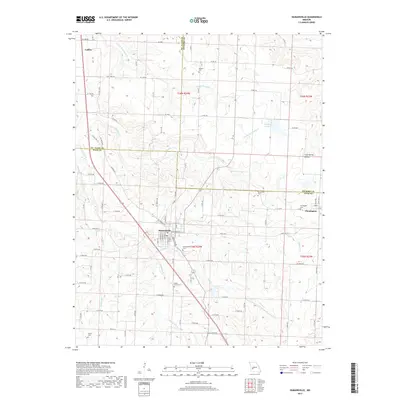
2017 Map of Humansville
USGS Topo · Published 2017About this map
Humansville serves as the central hub of this Missouri landscape, situated near the intersection of three counties. The town's grid is detailed with street names like E Buffalo St and E Fanny St, while the surrounding countryside is defined by its numerous family and community cemeteries, including Humansville Cem, Shady Grove Cem, and Tinker Cem. These sites, along with others like Souders Cem and Richardson Cem, provide critical touchpoints for genealogical research in this rural region.
Find a feature on this map
57 named features on this map. Tap any name to fly to it.
Don’t see what you’re looking for? This feature index may not catch every label — zoom into the map to look around manually.
Map Details
Editions of this 2017 Humansville Map
This is the sole edition of this map. No revisions or reprints were ever made.
Other maps of this area

1884 · Bolivar
USGS Topo · 1:125,000

1886 · Stockton
USGS Topo · 1:125,000

1892 · Bolivar
USGS Topo · 1:125,000

1938 · Vista
USGS Topo · 1:24,000

1939 · Arnica
USGS Topo · 1:24,000

1940 · Vista
USGS Topo · 1:24,000

1940 · Weaubleau
USGS Topo · 1:24,000

1941 · Arnica
USGS Topo · 1:24,000

1942 · Elkton
USGS Topo · 1:24,000

1944 · Humansville
USGS Topo · 1:24,000