Old Maps of Bunker Hill, Missouri for Academic Research
Study the evolution of Bunker Hill with 9 high-resolution historic maps. Whether you're teaching, researching, or modeling changes in land use, these maps provide essential visual documentation of urban, environmental, and geographic change.
- Analyze long-term change: Track patterns in development, transportation, and natural features.
- Ideal for environmental or urban studies: Support academic projects with primary historical map data.
- Use in the classroom or lab: Educators and researchers rely on these maps to bring historical context to life.
These maps are a powerful tool for teaching, research, and visualizing how Bunker Hill has changed over the decades.
Bunker Hill, MO maps
(9)- 1940 Map of Malden, 1942 Print
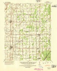 1940 Malden1942 Print · USGSIn the Missouri Bootheel during the early 1940s, a vast network of drainage ditches transformed the landscape for farming and rail commerce. Researchers can trace rural life through dozens of named landmarks like Sugar Tree Ch & Sch, Stephenson Cem, and Tallapoosa.
 - 1956 Map of Malden
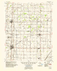 1956 Malden1956 Print · USGSThe Missouri bootheel in the mid-1950s reveals a highly engineered landscape where drainage ditches and rail lines shaped every town and farm. Genealogists can locate family landmarks like Poplin Sch & Cem, Stones Chapel Cem, and the Malden Air Force Base.
 - 1956 Map of Dyersburg, 1960 Print
 1956 Dyersburg1960 Print · USGSThe Four Rivers region comes alive in the mid-fifties, capturing the intricate borderlands of Tennessee, Kentucky, and Missouri. Genealogists and historians can trace the rail-and-river networks connecting Dyersburg, Caruthersville, and the shoreline of Reelfoot Lake.4 unique versions available
 - 1978 Map of Bernie, 1979 Print
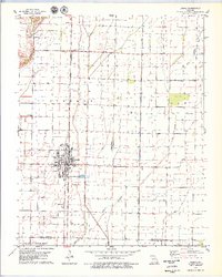 1978 Bernie1979 Print · USGSBernie and the surrounding Bootheel lowlands are captured in the late seventies, showing a landscape defined by industrial drainage and rail transport. Genealogists can locate family sites at Poplin Cem or trace the routes between Sugar Tree Ch and the ST LOUIS SOUTHWESTERN line.
 - 1985 Map of Sikeston, 1986 Print
 1985 Sikeston1986 Print · USGSThe Missouri Bootheel and the four-state river convergence are captured in the mid-eighties as the modern agricultural and rail networks matured. Researchers can locate regional landmarks like the Towosahgy State Historic Site, Oak Grove Cem, and towns along the St Louis Southwestern Railroad.2 unique versions available
 - 2012 Map of Bernie, 2012 Print
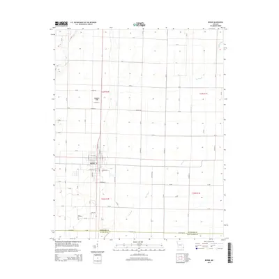
 2012 Bernie2012 Print · USGSCovers Bunker Hill, including Bernie, Dunklin County, and other nearby areas
 - 2015 Map of Bernie, 2015 Print
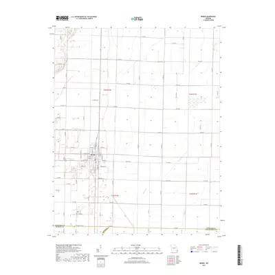
 2015 Bernie2015 Print · USGSCovers Bunker Hill, including Bernie, Dunklin County, and other nearby areas
 - 2017 Map of Bernie, 2017 Print
 2017 Bernie2017 Print · USGSCovers Bunker Hill, including Bernie, Dunklin County, and other nearby areas
 - 2021 Map of Bernie, 2021 Print
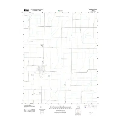
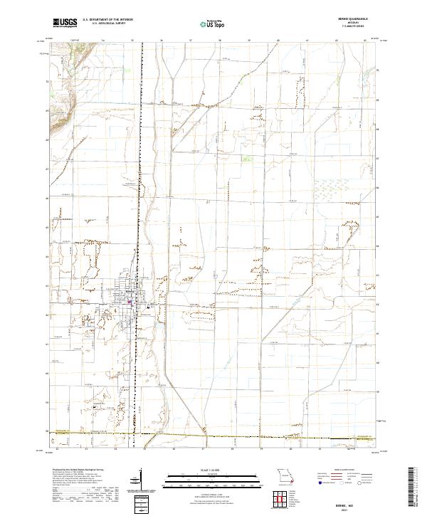 2021 Bernie2021 Print · USGSBernie and the surrounding Stoddard County lowlands are captured here in the early twenty-first century. Genealogists and researchers can locate family plots at Bernie Memorial Cem and Edmonds Cem or trace the drainage paths of Main Ditch and Bess Slough.
End of results
Showing maps 1-9 of 9
Top cities near Bunker Hill
- Dexter historical maps
- Malden historical maps
- Bloomfield historical maps
- Campbell historical maps
- Bernie historical maps
- Parma historical maps
See more
Frequently asked questions
- What are the different types of historical maps available for Bunker Hill?
- What is the oldest map of Bunker Hill?
- Where can I purchase historical maps of Bunker Hill for my home or office?
- Where can I download high-res historical maps of Bunker Hill?
- Are there historical topographic maps available for Bunker Hill?
- Is there historical aerial imagery available for Bunker Hill?
- Where are historical maps of Bunker Hill sourced from?