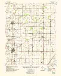
1956 Map of Malden
USGS Topo · Published 1956About this map
Malden Air Force Base dominates the western landscape of this Missouri bootheel survey, reflecting the area's strategic aviation presence in the mid-1950s. The region is defined by an intricate network of drainage systems, including Ditch No 22 and Bess Slough, which transformed this low-lying terrain into productive farmland. This agrarian development is marked by a dense grid of rural institutions, such as Sugar Tree Ch & Sch and Vinson Sch & Ch, which served dispersed family farms across Stoddard County and Dunklin County.
Find a feature on this map
105 named features on this map. Tap any name to fly to it.
Don’t see what you’re looking for? This feature index may not catch every label — zoom into the map to look around manually.
Map Details
Editions of this 1956 Malden Map
This is the sole edition of this map. No revisions or reprints were ever made.
Other maps of this area
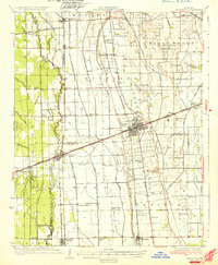
1931 · Sikeston
USGS Topo · 1:62,500
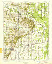
1934 · Bloomfield
USGS Topo · 1:62,500
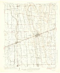
1934 · Sikeston
USGS Topo · 1:62,500
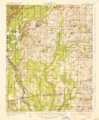
1934 · Puxico
USGS Topo · 1:62,500
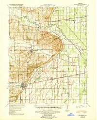
1939 · Bloomfield
USGS Topo · 1:62,500
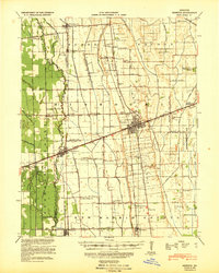
1939 · Sikeston
USGS Topo · 1:62,500
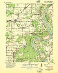
1939 · Portageville
USGS Topo · 1:62,500
1939 · New Madrid
USGS Topo · 1:62,500
1939 · Puxico
USGS Topo · 1:62,500
1940 · Malden
USGS Topo · 1:62,500