Old Maps of LaValle, Missouri for Hiking & Exploration
Hike through history with 9 historic maps of LaValle. Explore old trails, ghost towns, and forgotten backroads — perfect for outdoor adventurers and local explorers.
- Rediscover forgotten places: Map out old mining camps, roads, and footpaths that no longer exist on modern maps.
- Layer with modern tools: Combine with LiDAR or satellite views to plan hikes through historical terrain.
- Made for exploration: Popular among hikers, overlanders, and local history lovers.
Use these maps to find adventure and explore the hidden past of LaValle.
LaValle, MO maps
(9)- 1940 Map of Malden, 1942 Print
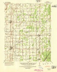 1940 Malden1942 Print · USGSIn the Missouri Bootheel during the early 1940s, a vast network of drainage ditches transformed the landscape for farming and rail commerce. Researchers can trace rural life through dozens of named landmarks like Sugar Tree Ch & Sch, Stephenson Cem, and Tallapoosa.
 - 1956 Map of Malden
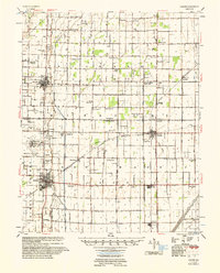 1956 Malden1956 Print · USGSThe Missouri bootheel in the mid-1950s reveals a highly engineered landscape where drainage ditches and rail lines shaped every town and farm. Genealogists can locate family landmarks like Poplin Sch & Cem, Stones Chapel Cem, and the Malden Air Force Base.
 - 1956 Map of Dyersburg, 1960 Print
 1956 Dyersburg1960 Print · USGSThe Four Rivers region comes alive in the mid-fifties, capturing the intricate borderlands of Tennessee, Kentucky, and Missouri. Genealogists and historians can trace the rail-and-river networks connecting Dyersburg, Caruthersville, and the shoreline of Reelfoot Lake.4 unique versions available
 - 1978 Map of Hills Store, 1979 Print
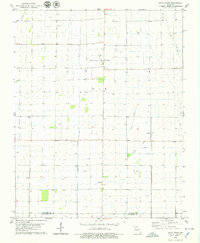 1978 Hills Store1979 Print · USGSStoddard and New Madrid counties are mapped here during the late seventies, showing a landscape defined by drainage canals and the Castor River. Genealogists and historians can trace family roots at Stones Chapel Cem or locate the old town site of La Valle along a former rail route.
 - 1985 Map of Sikeston, 1986 Print
 1985 Sikeston1986 Print · USGSThe Missouri Bootheel and the four-state river convergence are captured in the mid-eighties as the modern agricultural and rail networks matured. Researchers can locate regional landmarks like the Towosahgy State Historic Site, Oak Grove Cem, and towns along the St Louis Southwestern Railroad.2 unique versions available
 - 2012 Map of Hills Store, 2012 Print
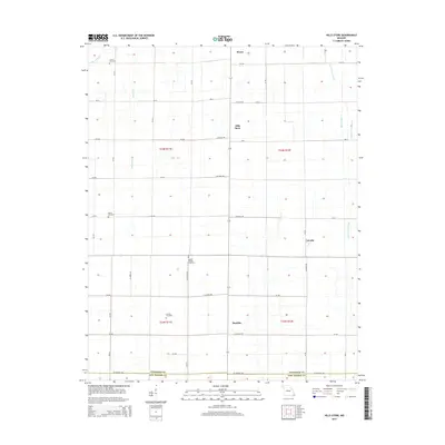
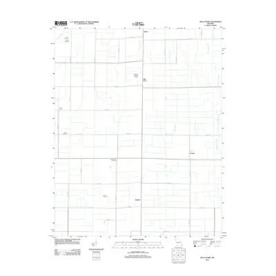 2012 Hills Store2012 Print · USGSCovers LaValle, including Hills Store, Maulsby, and other nearby areas
 - 2015 Map of Hills Store, 2015 Print
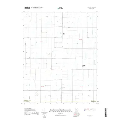
 2015 Hills Store2015 Print · USGSCovers LaValle, including Hills Store, Maulsby, and other nearby areas
 - 2017 Map of Hills Store, 2017 Print
 2017 Hills Store2017 Print · USGSCovers LaValle, including Hills Store, Maulsby, and other nearby areas
 - 2021 Map of Hills Store, 2021 Print
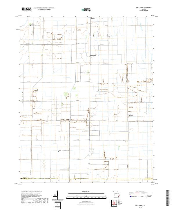 2021 Hills Store2021 Print · USGSStoddard County's managed waterways and rural crossroads are captured in this recent survey of the Missouri Bootheel. Genealogists and local historians can locate family landmarks like Stones Chapel Cem or trace the drainage networks of Main Ditch and the Upper Castor River.
End of results
Showing maps 1-9 of 9
Top cities near LaValle
- Sikeston historical maps
- Dexter historical maps
- Malden historical maps
- New Madrid historical maps
- Bloomfield historical maps
- Bernie historical maps
See more
Frequently asked questions
- What are the different types of historical maps available for LaValle?
- What is the oldest map of LaValle?
- Where can I purchase historical maps of LaValle for my home or office?
- Where can I download high-res historical maps of LaValle?
- Are there historical topographic maps available for LaValle?
- Is there historical aerial imagery available for LaValle?
- Where are historical maps of LaValle sourced from?