Old Maps of Nevada, Missouri for Hiking & Exploration
Hike through history with 30 historic maps of Nevada. Explore old trails, ghost towns, and forgotten backroads — perfect for outdoor adventurers and local explorers.
- Rediscover forgotten places: Map out old mining camps, roads, and footpaths that no longer exist on modern maps.
- Layer with modern tools: Combine with LiDAR or satellite views to plan hikes through historical terrain.
- Made for exploration: Popular among hikers, overlanders, and local history lovers.
Use these maps to find adventure and explore the hidden past of Nevada.
Nevada, MO maps
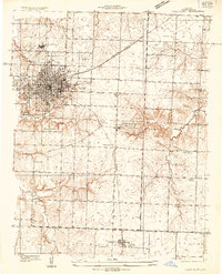
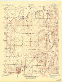
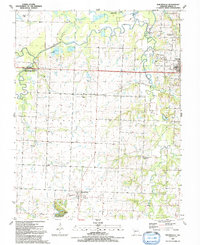
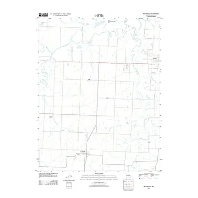
(30)- 1886 Map of Nevada
 1886 Nevada1886 Print · USGSRailroads and river valleys define southwestern Missouri in the late nineteenth century, as the landscape transitions into a series of organized townships and trade centers. Genealogists and local historians can trace early settlements like Moundville, Montevallo, and El Dorado Springs along the Missouri Pacific Railroad.
 - 1894 Map of Nevada
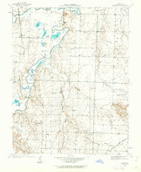
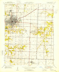
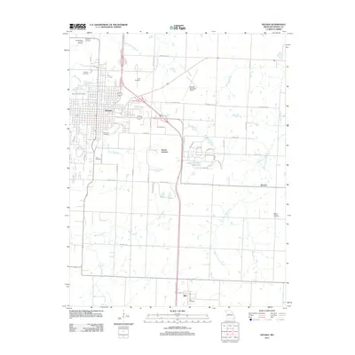
 1894 Nevada1894 Print · USGSWestern Missouri at the end of the nineteenth century is defined here by its emerging rail towns and expansive prairie townships. Genealogists and local historians can trace the early development of Nevada and Lamar alongside smaller settlements like Montevallo and El Dorado Springs.5 unique versions available
 - 1933 Map of Camp Clark
 1933 Camp Clark1933 Print · USGSVernon County is captured in the early 1930s as a bustling railroad and institutional hub centered on the city of Nevada. Genealogists can trace family landmarks like the State Insane Asylum, Deepwood Cemetery, and numerous rural schoolhouses including Mapledale Sch.3 unique versions available
 - 1938 Map of Horton, 1966 Print
 1938 Horton1966 Print · USGSVernon County rural life comes into focus in the late 1930s as the river valleys were still defined by small rail sidings and one-room schools. Researchers can trace family sites near Horton, the County Farm, or the isolated Wales Siding stop.2 unique versions available
 - 1939 Map of Horton
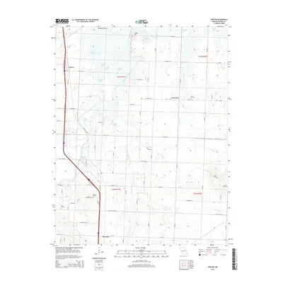
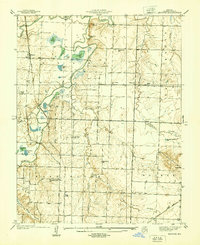 1939 Horton1939 Print · USGSVernon County is captured in the late 1930s at the critical junction where the river systems converge. Researchers can trace the early settlement of Horton and the meandering banks of the Little Osage River and the Marmaton River.
 - 1939 Map of Moundville, 1962 Print
 1939 Moundville1962 Print · USGSVernon County at the end of the Depression era reveals a landscape of independent school districts and dual railroad lines. Genealogists can trace the rural community through the St Francis Convent, Wilburn Cem, and vanished school sites like Hackberry Sch.3 unique versions available
 - 1942 Map of Moundville
 1942 Moundville1942 Print · USGSVernon County farmland and river bottoms are captured here in the late thirties, just as the local rail-and-river economy remained the backbone of the region. Genealogists can locate family landmarks like Wilburn Cem and several rural schoolhouses, including Oak Grove Sch and Pleasant Ridge Sch.2 unique versions available
 - 1947 Map of Joplin, 1954 Print
 1947 Joplin1954 Print · USGSThe borderlands of Missouri, Kansas, and Oklahoma are shown here during the late 1940s, a period of heavy industrial and military activity. Researchers can trace the extensive Tri-State Mining District, the layout of Camp Crowder, and local landmarks like Mount Hope Cem.
 - 1948 Map of Nevada
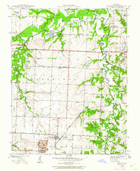
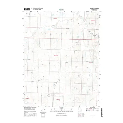
 1948 Nevada1948 Print · USGSMid-century Vernon County is anchored by the rail hub of Nevada and the nearby Camp Clark Military Reservation. Genealogists and historians can trace dozens of rural landmarks, including Deepwood Cemetery, Union Sch, and the isolated Marvin Chapel.
 - 1949 Map of Joplin
 1949 Joplin1949 Print · USGSThe Kansas-Missouri borderlands thrive in the late 1940s, showing a robust network of railroad towns and river valleys. Researchers can trace historic rail lines like the Missouri Pacific RR and locate rural centers such as Chanute, Iola, and Fort Scott.
 - 1954 Map of Joplin, 1967 Print
 1954 Joplin1967 Print · USGSThe tri-state border region of Kansas, Missouri, and Oklahoma is captured here during a peak era of mid-century industrial and agricultural activity. Researchers can trace family history through dozens of rural cemeteries or locate landmarks like the Kansas Army Ammunition Plant and Pittsburg State University.3 unique versions available
 - 1958 Map of Joplin
 1958 Joplin1958 Print · USGSThe tri-state border region of Missouri, Kansas, and Oklahoma is shown during the late fifties, a time of heavy rail traffic and mining activity. Local historians can trace the industrial landscape through the Joplin & Pittsburg Ry or locate family sites like Zion Ch and Bender Mounds.
 - 1959 Map of Joplin
 1959 Joplin1959 Print · USGSThe Tri-State region’s mining and rail-driven economy is on full display in the late fifties. Genealogists can locate Lead and Zinc Mines near Joplin, family markers at Oak Hill Cem, and military history at Camp Clark.
 - 1986 Map of Nevada
 1986 Nevada1986 Print · USGSThe Missouri-Kansas borderlands in the mid-1980s show a landscape of active rail lines and coal mining. Researchers can trace the Old Military Road or locate family plots in the National Cemetery and Deepwood Cemetery.
 - 1991 Map of Nevada
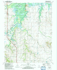
 1991 Nevada1991 Print · USGSNevada and the surrounding Missouri countryside are shown in the early nineties as a blend of college town life and military heritage. Genealogists can trace family names through Marvin Chapel Cem and Moore Cem, or locate landmarks like Cottey College and Nassau Junction.2 unique versions available
 - 1991 Map of Moundville
 1991 Moundville1991 Print · USGSMoundville and the western outskirts of Nevada are shown here in the early nineties as the Marmaton River bottomlands met expanding state wildlife areas. Researchers can trace rural lineages at Jewell Cem, Beckmon Cem, and Sylvan Dale Ch.
 - 1991 Map of Horton
 1991 Horton1991 Print · USGSVernon County in the early nineties is defined by the winding confluence of the Marmaton and Little Osage Rivers. Genealogists and local historians can trace the rail-and-river geography of the era near Horton, Compton Junction, and the Ellis Cem.
 - 1991 Map of Nevada
 1991 Nevada1991 Print · USGSThis borderland region in the early nineties captures the transition from Kansas plains to Missouri timber. Researchers can trace family history through Bunn Cemetery, locate the Camp Clark Military Reservation, and explore rail towns like Nevada and Fort Scott.
 - 2011 Map of Horton, 2011 Print
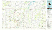
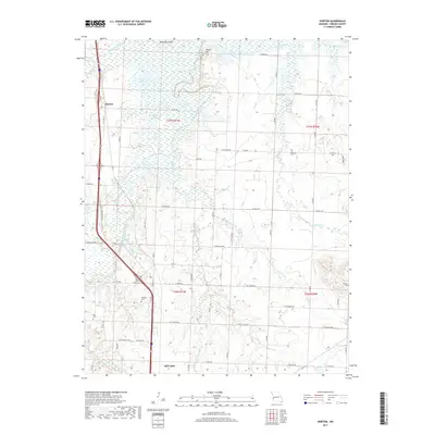
 2011 Horton2011 Print · USGSCovers Nevada, including Ketterman, Horton, and other nearby areas
 - 2011 Map of Moundville, 2011 Print
 2011 Moundville2011 Print · USGSCovers Nevada, including Moundville, Ellis, and other nearby areas
 - 2011 Map of Nevada, 2011 Print
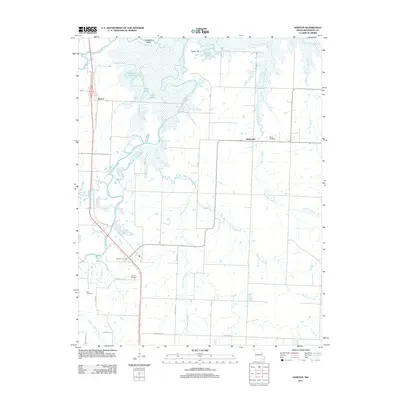
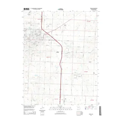
 2011 Nevada2011 Print · USGSCovers Nevada, including Milo, Nassau Junction, and other nearby areas
 - 2015 Map of Moundville, 2015 Print
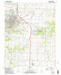
 2015 Moundville2015 Print · USGSCovers Nevada, including Moundville, Ellis, and other nearby areas
 - 2015 Map of Horton, 2015 Print
 2015 Horton2015 Print · USGSCovers Nevada, including Ketterman, Horton, and other nearby areas
 - 2015 Map of Nevada, 2015 Print
 2015 Nevada2015 Print · USGSCovers Nevada, including Milo, Nassau Junction, and other nearby areas
 - 2017 Map of Horton, 2017 Print
 2017 Horton2017 Print · USGSCovers Nevada, including Ketterman, Horton, and other nearby areas
Showing maps 1-25 of 30
Top cities near Nevada
- Sheldon historical maps
- Schell City historical maps
- Walker historical maps
- Bronaugh historical maps
- Moundville historical maps
- Richards historical maps
See more
Frequently asked questions
- What are the different types of historical maps available for Nevada?
- What is the oldest map of Nevada?
- Where can I purchase historical maps of Nevada for my home or office?
- Where can I download high-res historical maps of Nevada?
- Are there historical topographic maps available for Nevada?
- Is there historical aerial imagery available for Nevada?
- Where are historical maps of Nevada sourced from?