2000s (21st Century) Maps of Innsbrook, Missouri
Explore 8 historic maps of Innsbrook from the 2000s (21st Century). These maps offer a rare glimpse into what life looked like during the 2000s — showing old roads, neighborhoods, homes, and landmarks that have changed or disappeared over time.
Whether you're researching your family's past, planning a metal detecting trip, or studying how Innsbrook's landscape evolved across the 2000s, these high-resolution maps are a powerful tool for exploring the history of this region.
- Focus on a specific era: All maps on this page are from the 2000s, giving you a focused view of this time period.
- See what’s changed: Compare century-old streets, trails, and buildings to today's modern landscape using overlays and satellite layers.
- Research with precision: Use these maps for genealogy, historical research, land use analysis, or educational projects.
- View, download, or print: Maps are fully viewable online in high resolution, and can be downloaded or printed for your own records.
Start exploring Innsbrook's history through authentic maps from the 2000s. This is your window into the past.
Innsbrook, MO maps
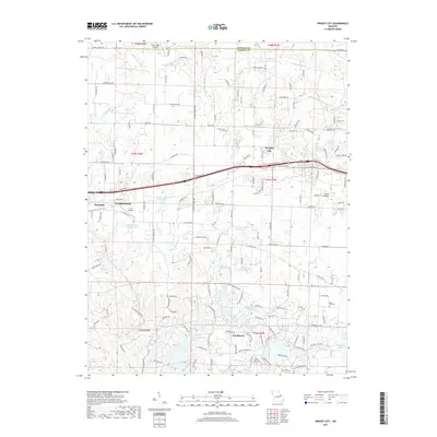
(8)- 2012 Map of Wright City, 2012 Print
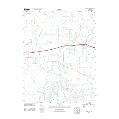 2012 Wright City2012 Print · USGSCovers Innsbrook, including Warrenton, Wright City, and other nearby areas
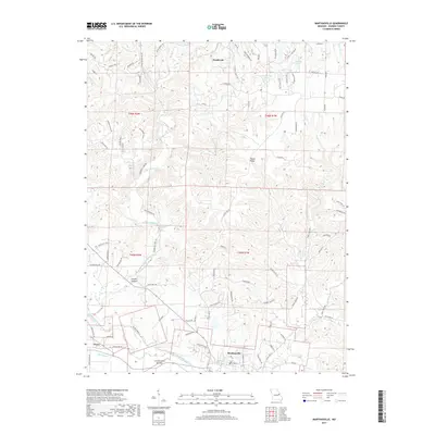
 - 2012 Map of Marthasville, 2012 Print
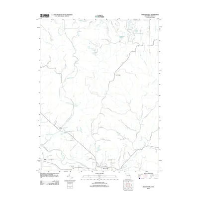 2012 Marthasville2012 Print · USGSCovers Innsbrook, including Marthasville, Peers, and other nearby areas
 - 2015 Map of Marthasville, 2015 Print
 2015 Marthasville2015 Print · USGSCovers Innsbrook, including Marthasville, Peers, and other nearby areas
 - 2015 Map of Wright City, 2015 Print
 2015 Wright City2015 Print · USGSCovers Innsbrook, including Warrenton, Wright City, and other nearby areas
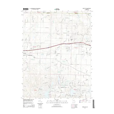
 - 2017 Map of Wright City, 2017 Print
 2017 Wright City2017 Print · USGSCovers Innsbrook, including Warrenton, Wright City, and other nearby areas
 - 2017 Map of Marthasville, 2017 Print
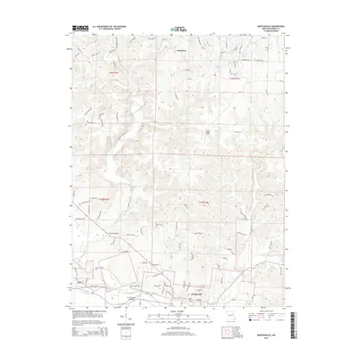
 2017 Marthasville2017 Print · USGSCovers Innsbrook, including Marthasville, Peers, and other nearby areas
 - 2021 Map of Wright City, 2021 Print
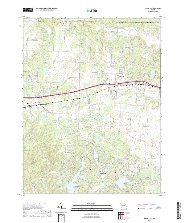 2021 Wright City2021 Print · USGSWright City and the Interstate 70 corridor are shown here in the early 2020s as residential growth expands near the Warren and Lincoln county lines. Genealogists and historians can locate legacy sites like Harmonie Church Cem and Mount Airy Cem among modern developments.
 - 2021 Map of Marthasville, 2021 Print
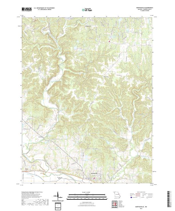 2021 Marthasville2021 Print · USGSMarthasville and the Missouri River bottomlands are captured here in a period of modern growth and residential expansion. Researchers can trace land patterns from the river flats at La Charrette Bottom to notable landmarks like Grand Canyon and Tuque Ridge.
End of results
Showing maps 1-8 of 8
Top cities near Innsbrook
- Wentzville historical maps
- Washington historical maps
- Troy historical maps
- Warrenton historical maps
- Wright City historical maps
- Moscow Mills historical maps
See more
Frequently asked questions
- What are the different types of historical maps available for Innsbrook?
- What is the oldest map of Innsbrook?
- Where can I purchase historical maps of Innsbrook for my home or office?
- Where can I download high-res historical maps of Innsbrook?
- Are there historical topographic maps available for Innsbrook?
- Is there historical aerial imagery available for Innsbrook?
- Where are historical maps of Innsbrook sourced from?