2020s Maps of Mountain Grove, Missouri
Explore 4 historic maps of Mountain Grove from the 2020s. These maps offer a rare glimpse into what life looked like during the 2020s — showing old roads, neighborhoods, homes, and landmarks that have changed or disappeared over time.
Whether you're researching your family's past, planning a metal detecting trip, or studying how Mountain Grove's landscape evolved across the 2020s, these high-resolution maps are a powerful tool for exploring the history of this region.
- Focus on a specific era: All maps on this page are from the 2020s, giving you a focused view of this time period.
- See what’s changed: Compare century-old streets, trails, and buildings to today's modern landscape using overlays and satellite layers.
- Research with precision: Use these maps for genealogy, historical research, land use analysis, or educational projects.
- View, download, or print: Maps are fully viewable online in high resolution, and can be downloaded or printed for your own records.
Start exploring Mountain Grove's history through authentic maps from the 2020s. This is your window into the past.
Mountain Grove, MO maps
(4)- 2021 Map of Mountain Grove South, 2021 Print
 2021 Mountain Grove South2021 Print · USGSThe southern outskirts of Mountain Grove meet the Ozark timberlands in the early 2020s, revealing a landscape of winding creek prongs and high ridges. Genealogists can locate several rural burial grounds including Strunk Cem and Livingston Cem near the headwaters of Fox Cr.
 - 2021 Map of Cabool NW, 2021 Print
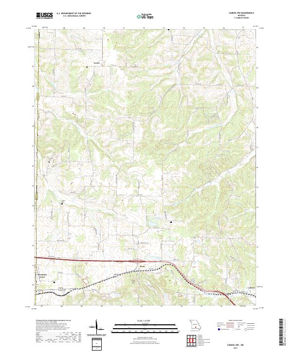 2021 Cabool NW2021 Print · USGSTexas and Wright counties are captured here in 2021, showing the rural landscape between the regional hubs of Mountain Grove and Cabool. Researchers can locate family landmarks such as Canada Cem and Stubbs Cem or trace the winding course of the Big Piney River.
 - 2021 Map of Mountain Grove North, 2021 Print
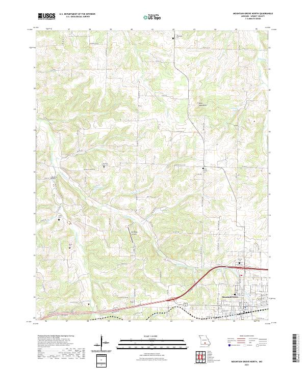 2021 Mountain Grove North2021 Print · USGSWright County in the early twenty-first century reveals a landscape where the northern reaches of Mountain Grove give way to a network of ancestral burial grounds. Genealogists can trace family footprints at Hillcrest Cem, Swede Cem, or the remote Friendship Cem.
 - 2021 Map of Cabool SW, 2021 Print
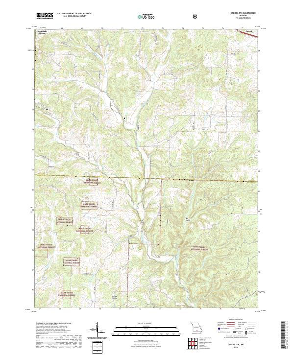 2021 Cabool SW2021 Print · USGSTexas and Douglas counties come into focus in the early 2020s, showing the intersection of agricultural land and the Mark Twain National Forest. Researchers can trace old family roots near the Macedonia Cem or follow the waters of the N Fork River and Creasy Hollow.
End of results
Showing maps 1-4 of 4
Top cities near Mountain Grove
Frequently asked questions
- What are the different types of historical maps available for Mountain Grove?
- What is the oldest map of Mountain Grove?
- Where can I purchase historical maps of Mountain Grove for my home or office?
- Where can I download high-res historical maps of Mountain Grove?
- Are there historical topographic maps available for Mountain Grove?
- Is there historical aerial imagery available for Mountain Grove?
- Where are historical maps of Mountain Grove sourced from?