Old Maps of Mountain Grove, Missouri for Hiking & Exploration
Hike through history with 28 historic maps of Mountain Grove. Explore old trails, ghost towns, and forgotten backroads — perfect for outdoor adventurers and local explorers.
- Rediscover forgotten places: Map out old mining camps, roads, and footpaths that no longer exist on modern maps.
- Layer with modern tools: Combine with LiDAR or satellite views to plan hikes through historical terrain.
- Made for exploration: Popular among hikers, overlanders, and local history lovers.
Use these maps to find adventure and explore the hidden past of Mountain Grove.
Mountain Grove, MO maps
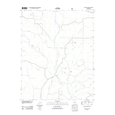
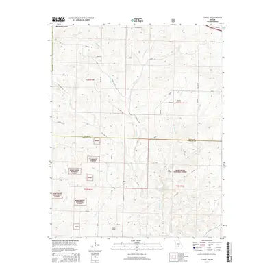
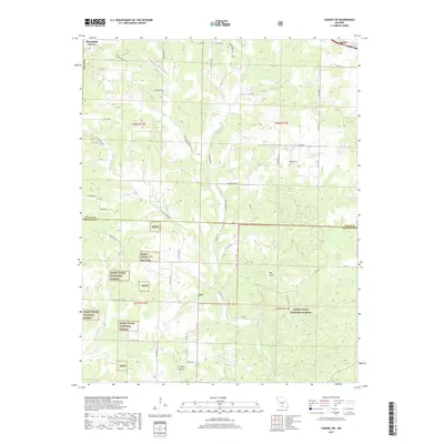
(28)- 1950 Map of Cabool SW, 1952 Print
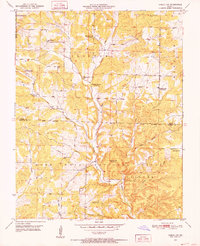 1950 Cabool SW1952 Print · USGSTexas and Douglas Counties in the early 1950s show a rugged Ozark landscape of national forest and family farms. Trace local history through numerous rural landmarks like Macedonia Cem, Onyx Cave, and several schools including Pine Flat Sch and Little Creek Sch.3 unique versions available
 - 1951 Map of Mountain Grove South, 1952 Print
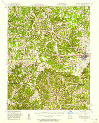
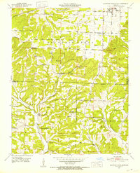 1951 Mountain Grove South1952 Print · USGSThe Missouri Ozarks south of Mountain Grove are shown here in the early 1950s as a landscape of rural schools and winding creek valleys. Researchers can locate family landmarks like Strunk Cem and old country schools including Oak Grove Sch and Fairmount Sch.3 unique versions available
 - 1951 Map of Mountain Grove North, 1952 Print
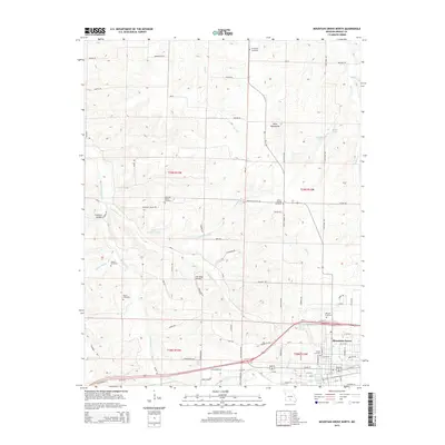
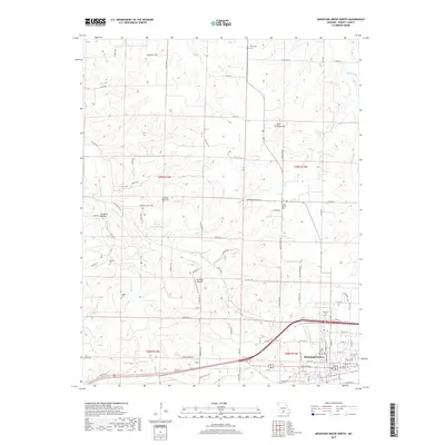
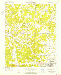 1951 Mountain Grove North1952 Print · USGSWright County life in the early fifties centered around the rail-connected hub of Mountain Grove and its surrounding hill country. Researchers can trace rural community roots through numerous local sites like Morning Sun Church, Fairview School, and Hillcrest Cemetery.2 unique versions available
 - 1951 Map of Cabool NW, 1952 Print
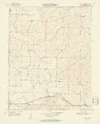 1951 Cabool NW1952 Print · USGSTexas and Wright Counties are captured here in the early fifties, showing a rural landscape of dispersed hill farms and tight-knit school districts. Genealogists can locate family landmarks like Stubbs Cem, the Dunn (Impo PO) settlement, and the old Gravel Point Sch.3 unique versions available
 - 1951 Map of Cabool, 1958 Print
 1951 Cabool1958 Print · USGSThe Ozark Plateau near Cabool and Mountain Grove is shown here in the early fifties, centering on the St Louis-San Francisco RR corridor. Genealogists can trace family landmarks like Cedar Bluff Cem, Hamilton Creek Church, and several rural schools.2 unique versions available
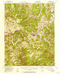
 - 1951 Map of Mountain Grove, 1958 Print
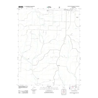
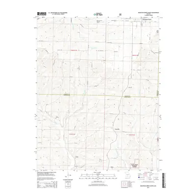
 1951 Mountain Grove1958 Print · USGSWright and Douglas counties come alive in the early fifties, showing a landscape of small farmsteads and rural schoolhouses. Genealogists can locate specific family landmarks like Day Cem, Owens, and the St Louis San Francisco RR corridor.
 - 1954 Map of Springfield
 1954 Springfield1954 Print · USGSThe Missouri Ozarks are captured here during the post-war era, showing the expansion of Springfield and the surrounding river valleys. Genealogists and historians can trace local landmarks like Mount Comfort Cemetery and the Fort Leonard Wood military grounds.6 unique versions available
 - 1958 Map of Springfield
 1958 Springfield1958 Print · USGSThe Missouri Ozarks are captured during the mid-century era of growth, centered on the bustling hub of Springfield. Genealogists and historians can trace family roots through numerous landmarks like Ebenezer Church, Stockton Cem, and the various county courthouses.
 - 1959 Map of Springfield
 1959 Springfield1959 Print · USGSThe Missouri Ozarks are captured here during a decade of postwar growth and increasing highway connectivity. Researchers can trace the legacy of the St Louis-San Francisco RR and locate early sites in Springfield, Lebanon, and Mountain Grove.
 - 1977 Map of Mountain Grove South
 1977 Mountain Grove South1977 Print · USGSSouthern Mountain Grove and the surrounding farmsteads are captured in detail during the late seventies. Researchers can trace land boundaries, woodlots, and the growth of the town beyond the city center in this Missouri aerial survey.
 - 1983 Map of Mountain Grove
 1983 Mountain Grove1983 Print · USGSWright and Webster counties in the early 1980s show a traditional Ozark landscape of ridge-running railroads and river headwaters. You can trace the Burlington Northern Railroad through towns like Mansfield or find rural landmarks like Vance Cem and Mt Zion Church.
 - 2004 Map of Cabool SW, 2006 Print
 2004 Cabool SW2006 Print · USGSTexas and Douglas counties at the start of the millennium reveal a landscape of secluded Ozark hollows and deep forest. Genealogists can trace former community hubs through numerous school sites like Little Creek Sch (Site) and churches such as Fairview Ch.
 - 2011 Map of Cabool NW, 2011 Print
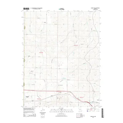
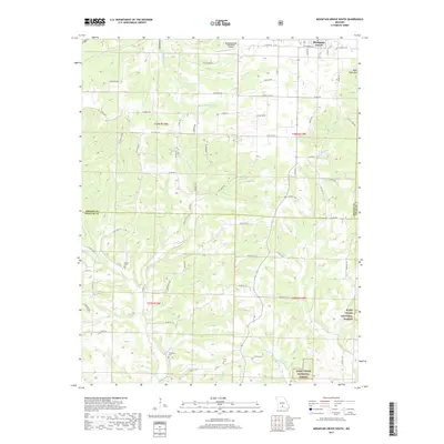
 2011 Cabool NW2011 Print · USGSCovers Mountain Grove, including Cabool, Fowler, and other nearby areas
 - 2011 Map of Mountain Grove North, 2011 Print
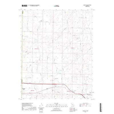
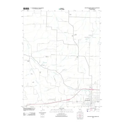 2011 Mountain Grove North2011 Print · USGSCovers Mountain Grove, including Texas County, Wright County, and other nearby areas
 - 2012 Map of Cabool SW, 2012 Print
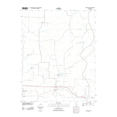
 2012 Cabool SW2012 Print · USGSCovers Mountain Grove, including Cabool, Ann, and other nearby areas
 - 2012 Map of Mountain Grove South, 2012 Print
 2012 Mountain Grove South2012 Print · USGSCovers Mountain Grove, including Prior, Goodville, and other nearby areas
 - 2015 Map of Mountain Grove North, 2015 Print
 2015 Mountain Grove North2015 Print · USGSCovers Mountain Grove, including Texas County, Wright County, and other nearby areas
 - 2015 Map of Cabool SW, 2015 Print
 2015 Cabool SW2015 Print · USGSCovers Mountain Grove, including Cabool, Ann, and other nearby areas
 - 2015 Map of Mountain Grove South, 2015 Print
 2015 Mountain Grove South2015 Print · USGSCovers Mountain Grove, including Prior, Goodville, and other nearby areas
 - 2015 Map of Cabool NW, 2015 Print
 2015 Cabool NW2015 Print · USGSCovers Mountain Grove, including Cabool, Fowler, and other nearby areas
 - 2017 Map of Mountain Grove North, 2017 Print
 2017 Mountain Grove North2017 Print · USGSCovers Mountain Grove, including Texas County, Wright County, and other nearby areas
 - 2017 Map of Cabool NW, 2017 Print
 2017 Cabool NW2017 Print · USGSCovers Mountain Grove, including Cabool, Fowler, and other nearby areas
 - 2017 Map of Cabool SW, 2017 Print
 2017 Cabool SW2017 Print · USGSCovers Mountain Grove, including Cabool, Ann, and other nearby areas
 - 2017 Map of Mountain Grove South, 2017 Print
 2017 Mountain Grove South2017 Print · USGSCovers Mountain Grove, including Prior, Goodville, and other nearby areas
 - 2021 Map of Mountain Grove South, 2021 Print
 2021 Mountain Grove South2021 Print · USGSThe southern outskirts of Mountain Grove meet the Ozark timberlands in the early 2020s, revealing a landscape of winding creek prongs and high ridges. Genealogists can locate several rural burial grounds including Strunk Cem and Livingston Cem near the headwaters of Fox Cr.
Showing maps 1-25 of 28
Top cities near Mountain Grove
Frequently asked questions
- What are the different types of historical maps available for Mountain Grove?
- What is the oldest map of Mountain Grove?
- Where can I purchase historical maps of Mountain Grove for my home or office?
- Where can I download high-res historical maps of Mountain Grove?
- Are there historical topographic maps available for Mountain Grove?
- Is there historical aerial imagery available for Mountain Grove?
- Where are historical maps of Mountain Grove sourced from?