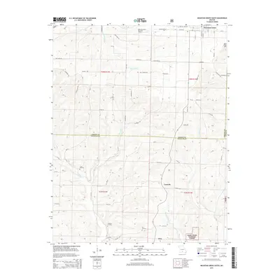
2015 Map of Mountain Grove South
USGS Topo · Published 2015About this map
Mountain Grove anchors the northern edge of this Ozark plateau landscape, where the town’s southern outskirts meet the winding headwaters of Whetstone Cr and Little Cr. Moving south across the Wright Co Douglas Co line, the terrain becomes increasingly dissected by the drainage networks of Fox Cr and Clifty Cr. This 2015 survey reveals a traditional rural settlement pattern of small crossroads communities and family-named landmarks. The small hamlets of Goodville and Prior serve as local hubs for the surrounding farmsteads. For genealogists and local historians, the map identifies several significant burial grounds, including Strunk Cemetery, Livingston Cemetery, and Prior Cemetery. To the southeast, the protected timberlands of the Mark Twain National Forest begin to emerge, while Bald Knob Mtn stands as a prominent elevation overlooking the eastern border into Texas County.
Find a feature on this map
62 named features on this map. Tap any name to fly to it.
Don’t see what you’re looking for? This feature index may not catch every label — zoom into the map to look around manually.
Map Details
Editions of this 2015 Mountain Grove South Map
This is the sole edition of this map. No revisions or reprints were ever made.
Other maps of this area

1937 · Buckhart
USGS Topo · 1:48,000

1939 · Topaz
USGS Topo · 1:62,500

1941 · Topaz
USGS Topo · 1:62,500

1943 · Buckhart
USGS Topo · 1:62,500

1945 · Harrison
USGS Topo · 1:250,000

1945 · Buckhart
USGS Topo · 1:62,500

1949 · Harrison
USGS Topo · 1:250,000

1950 · Cabool SW
USGS Topo · 1:24,000

1951 · Norwood
USGS Topo · 1:24,000

1951 · Mountain Grove South
USGS Topo · 1:24,000