
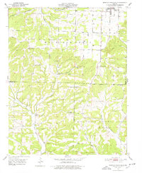
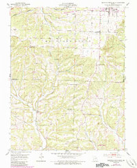
1951 Map of Mountain Grove South
USGS Topo · Published 1952About this map
Whetstone Creek and the St Louis San Francisco railroad define the northern approach to the Missouri Ozarks in this early 1950s survey. The landscape transitions from the outskirts of Mountain Grove into the more densely wooded reaches of the Mark Twain National Forest to the south. This era reveals a decentralized rural society supported by numerous local institutions, including Glendale Sch and Sunnyslope Sch, many of which were small schoolhouses serving nearby farm families before the broad consolidation of rural districts.
Find a feature on this map
25 named features on this map. Tap any name to fly to it.
Don’t see what you’re looking for? This feature index may not catch every label — zoom into the map to look around manually.
Map Details
Editions of this 1951 Mountain Grove South Map
3 editions found
Other maps of this area

1937 · Buckhart
USGS Topo · 1:48,000

1939 · Topaz
USGS Topo · 1:62,500

1941 · Topaz
USGS Topo · 1:62,500

1943 · Buckhart
USGS Topo · 1:62,500

1945 · Harrison
USGS Topo · 1:250,000

1945 · Buckhart
USGS Topo · 1:62,500

1949 · Harrison
USGS Topo · 1:250,000

1950 · Cabool SW
USGS Topo · 1:24,000

1951 · Norwood
USGS Topo · 1:24,000

1951 · Mountain Grove North
USGS Topo · 1:24,000