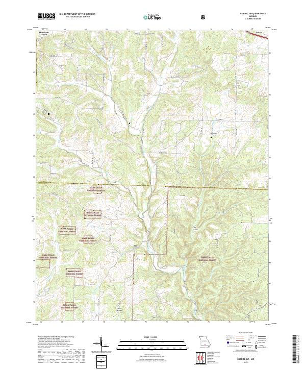
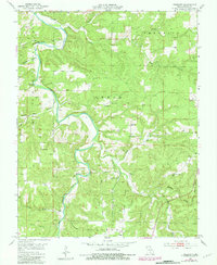
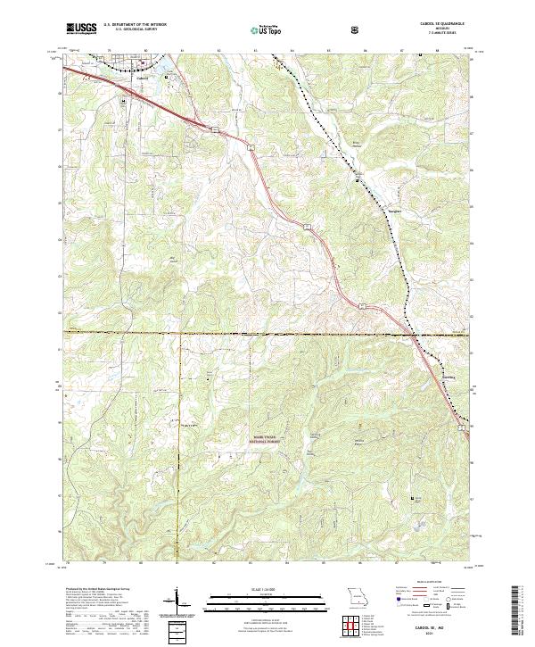
2021 Map of Cabool SW
USGS Topo · Published 2021About this map
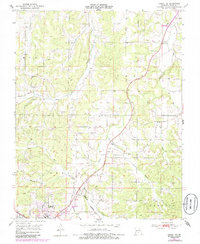
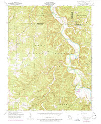
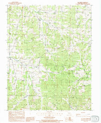
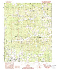
Mark Twain National Forest dominates the southern landscape of this Missouri quadrangle, where the terrain transitions into the complex drainage networks of the Ozark Plateau. The northern sections show the outlying edges of Mountain Grove and Cabool, while the small settlement of Ann sits central to a web of rural roads. The hydrography is particularly dense, defined by the N Fork River and its numerous tributaries such as Panther Cr, Hungry Cr, and Greasy Cr. This 2021 survey illustrates the modern configuration of rural land divisions and forest boundaries, providing a clear view of the deep ravines like Big Gulch and Creasy Hollow. For local historians, the placement of the Macedonia Cem near the junction of Macedonia Rd and Co Rd EE offers a fixed point for genealogical research in this part of Texas and Douglas counties.
Find a feature on this map
52 named features on this map. Tap any name to fly to it.
Don’t see what you’re looking for? This feature index may not catch every label — zoom into the map to look around manually.
Map Details
Editions of this 2021 Cabool SW Map
This is the sole edition of this map. No revisions or reprints were ever made.
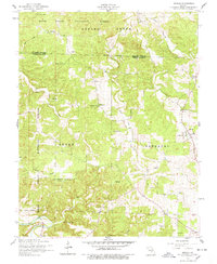
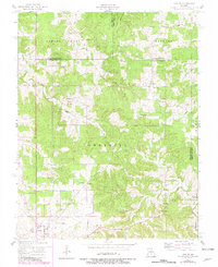
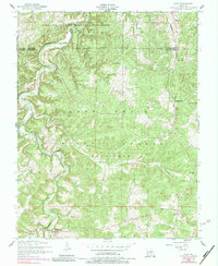
Historical Maps of Mountain Grove Through Time
51 maps found

1941 Bado
Texas County, MO
1943 Bado
Texas County, MO
1945 Clear Springs
Texas County, MO

1948 Clear Springs
Texas County, MO
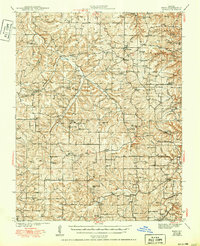
1950 Cabool SW
Texas County, MO
1951 Cabool NE
Texas County, MO
1951 Cabool NW
Texas County, MO
1951 Cabool SE
Texas County, MO
1951 Hartshorn
Texas County, MO
1951 Prescott
Texas County, MO
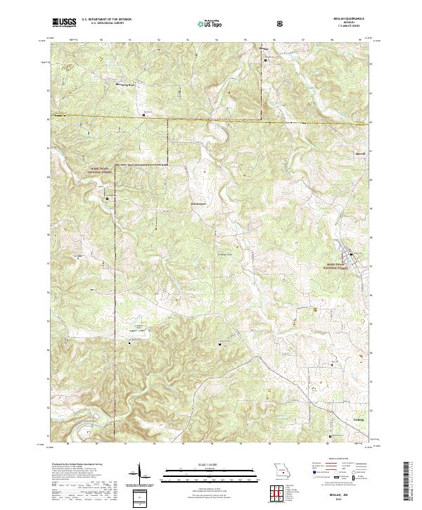
1954 Beulah
Texas County, MO
1954 Maples
Texas County, MO
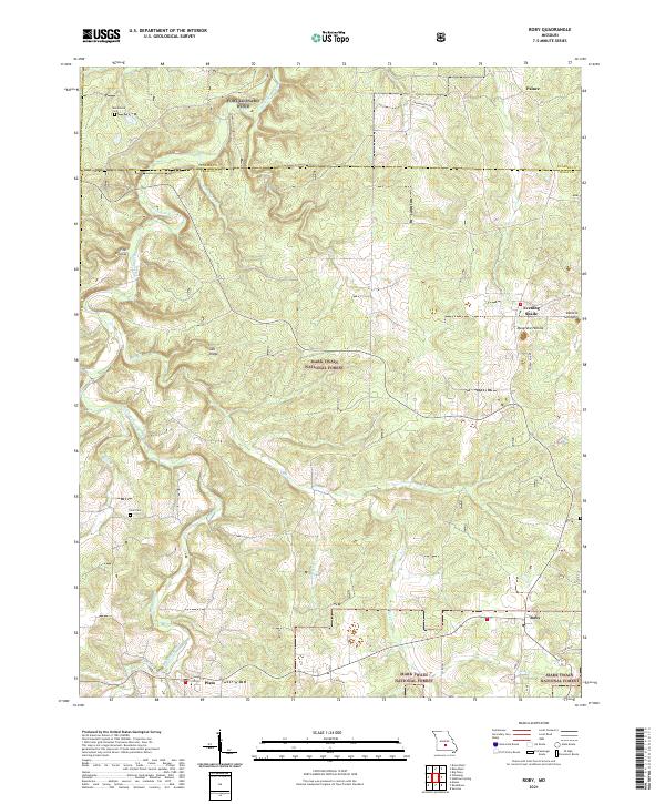
1954 Roby
Texas County, MO
1954 Slabtown Spring
Texas County, MO
1968 Pine Crest
Texas County, MO
1987 Bucyrus
Texas County, MO
1987 Clear Springs
Texas County, MO
1987 Elk Creek
Texas County, MO
1987 Eunice
Texas County, MO
1987 Huggins
Texas County, MO

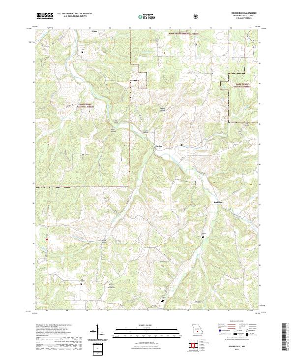
1987 Roubidoux
Texas County, MO
1987 Success
Texas County, MO
1987 Willow Springs North
Texas County, MO

2004 Beulah
Texas County, MO

2004 Cabool SE
Texas County, MO

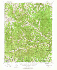
2004 Cabool SW
Texas County, MO
2004 Prescott
Texas County, MO

2004 Roby
Texas County, MO

2004 Roubidoux
Texas County, MO

2004 Slabtown Spring
Texas County, MO
2004 Success
Texas County, MO

2004 Willow Springs North
Texas County, MO
2021 Beulah
Texas County, MO
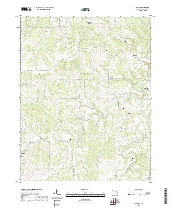
2021 Bucyrus
Texas County, MO
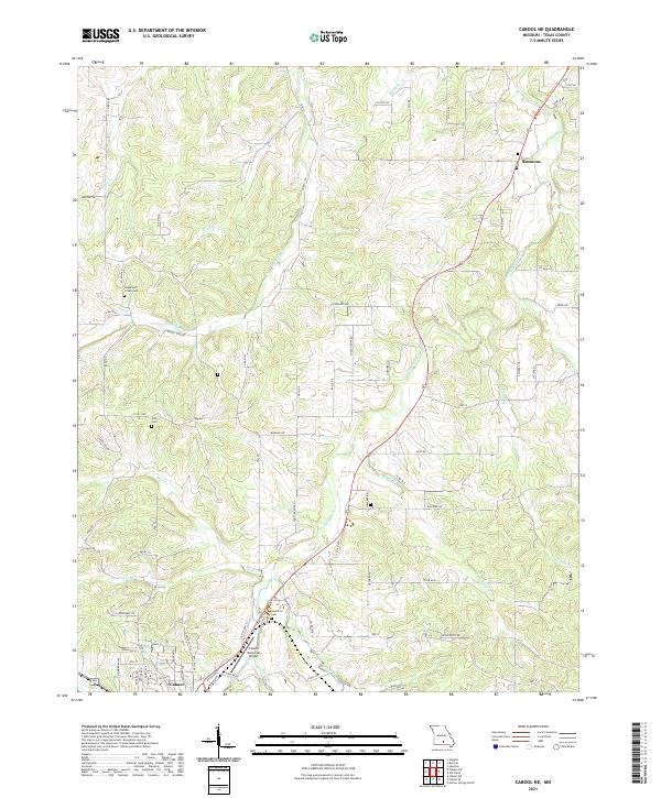
2021 Cabool NE
Texas County, MO
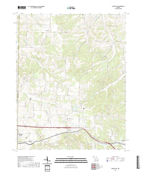
2021 Cabool NW
Texas County, MO
2021 Cabool SE
Texas County, MO
2021 Cabool SW
Texas County, MO
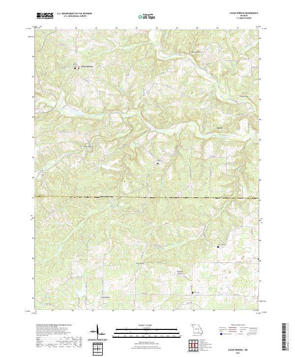
2021 Clear Springs
Texas County, MO
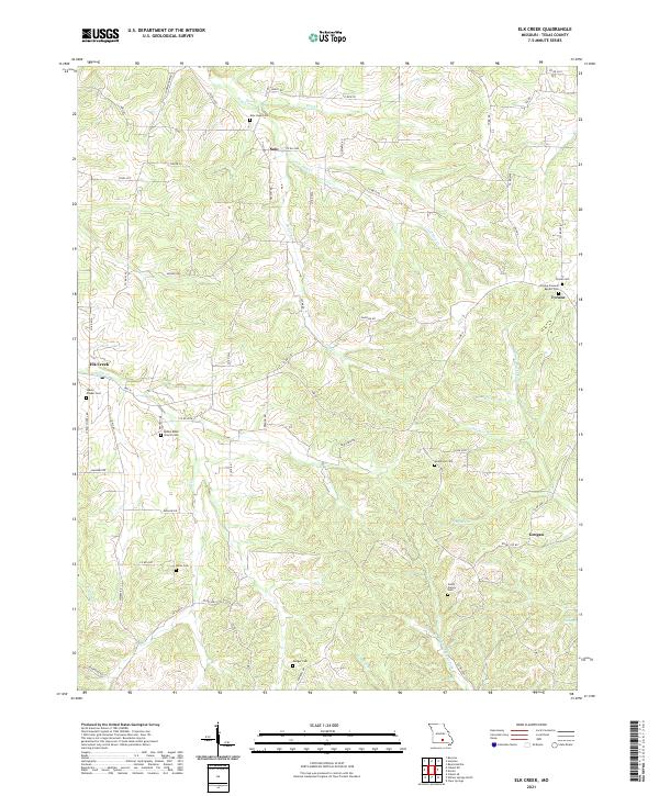
2021 Elk Creek
Texas County, MO
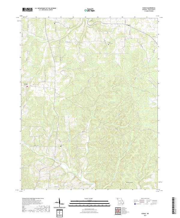
2021 Eunice
Texas County, MO
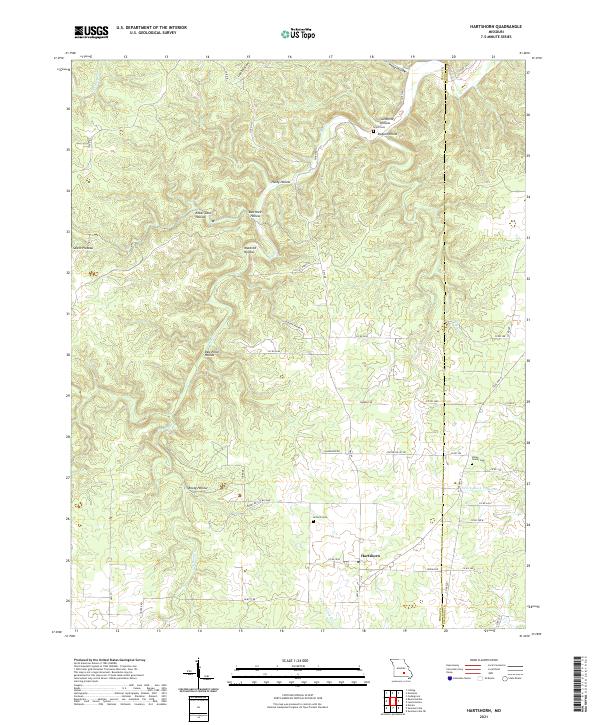
2021 Hartshorn
Texas County, MO
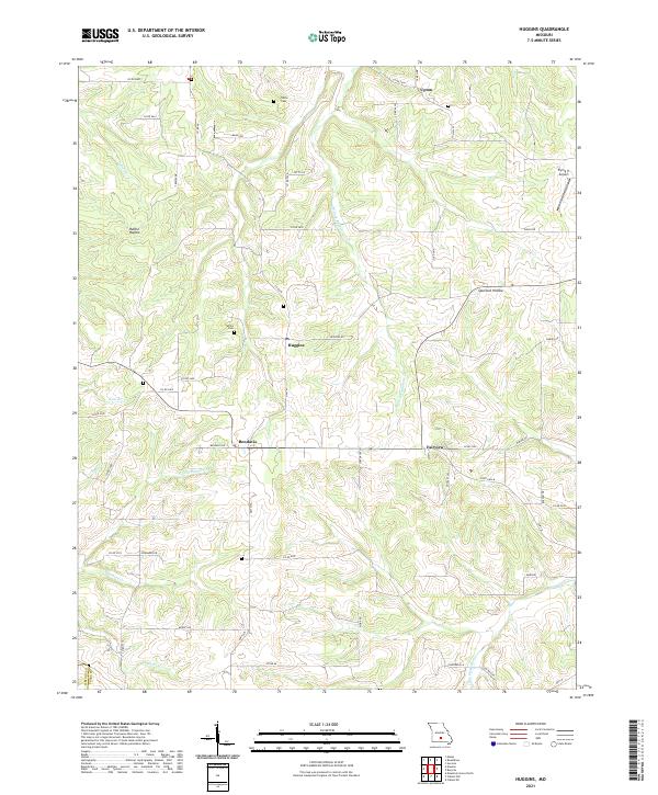
2021 Huggins
Texas County, MO
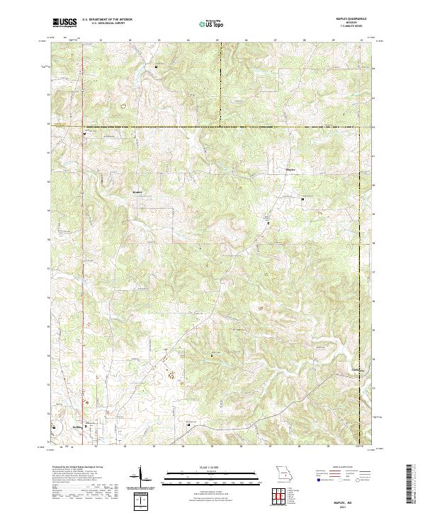
2021 Maples
Texas County, MO
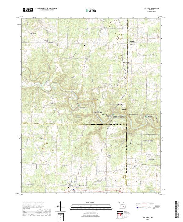
2021 Pine Crest
Texas County, MO
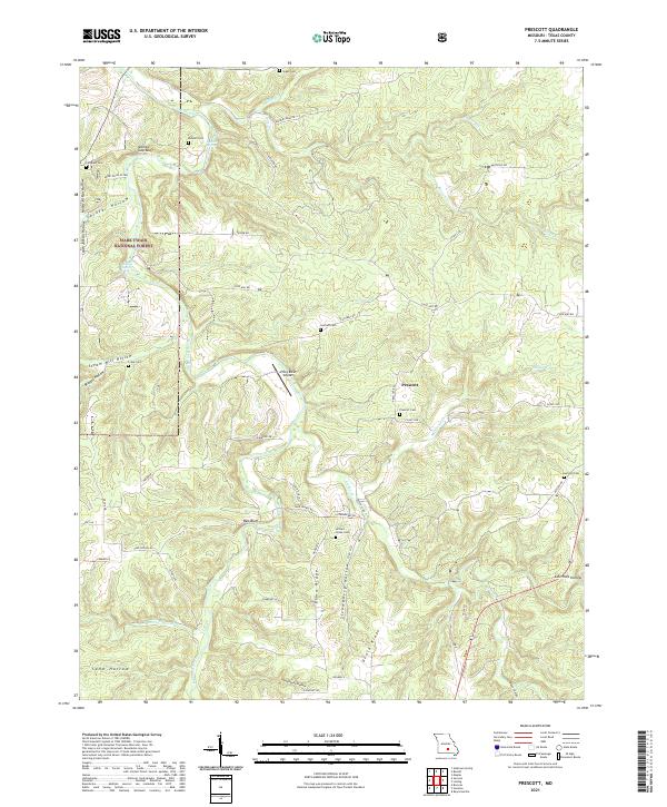
2021 Prescott
Texas County, MO
2021 Roby
Texas County, MO
2021 Roubidoux
Texas County, MO
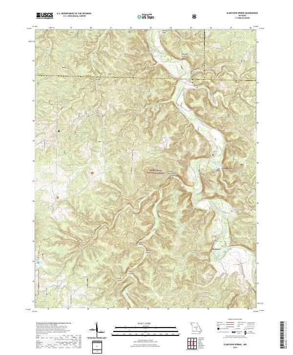
2021 Slabtown Spring
Texas County, MO
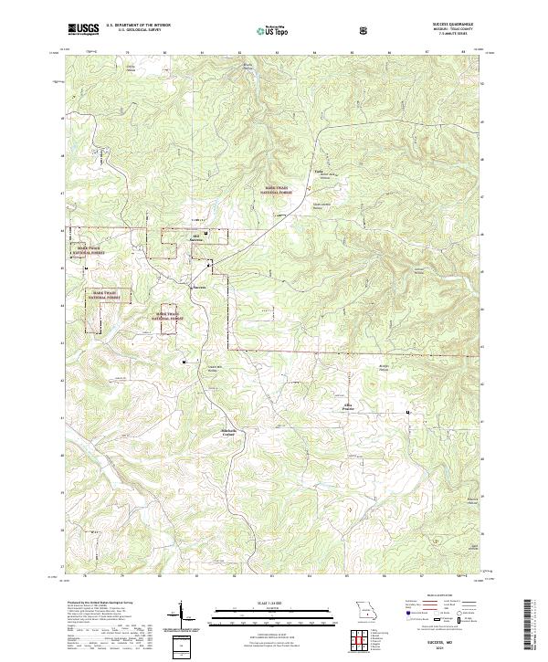
2021 Success
Texas County, MO
2021 Willow Springs North
Texas County, MO