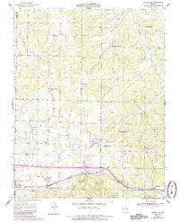
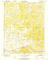
1951 Map of Cabool NW
USGS Topo · Published 1985About this map
The Burlington Northern railway corridor defines the southern landscape of this Ozark borderland, connecting the communities of Mountain Grove and Cabool. In the mid-20th century, the rural districts were organized around a dense network of local schools and landmarks, such as Gravel Point Sch, Stubbs Sch, and the Noels Store settlement. The topography is shaped by the headwaters of the Piney River and its numerous tributaries, including Hamilton Creek and Beaver Creek. This 1951 survey reveals a landscape transitioning toward modern recreation and conservation, evidenced by Austin Community Lake and the Larson State Wildlife Management Area. Genealogists will find particular value in the clearly marked Canada Cem and Stubbs Cem, alongside several country congregations like Greenwood Ch and Mt Zion Ch that anchored these upland farming townships.
Find a feature on this map
38 named features on this map. Tap any name to fly to it.
Don’t see what you’re looking for? This feature index may not catch every label — zoom into the map to look around manually.
Map Details
Editions of this 1951 Cabool NW Map
3 editions found
Other maps of this area

1931 · Manes
USGS Topo · 1:48,000

1941 · Manes
USGS Topo · 1:62,500

1941 · Bado
USGS Topo · 1:62,500

1943 · Manes
USGS Topo · 1:62,500

1943 · Bado
USGS Topo · 1:62,500

1950 · Cabool SW
USGS Topo · 1:24,000

1951 · Mountain Grove South
USGS Topo · 1:24,000

1951 · Cabool SE
USGS Topo · 1:24,000

1951 · Mountain Grove North
USGS Topo · 1:24,000

1951 · Cabool NW
USGS Topo · 1:24,000