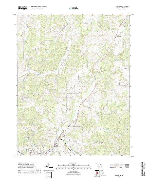
2021 Map of Cabool NE
USGS Topo · Published 2021About this map
Cabool anchors the southwestern corner of this survey, where the local street grid meets Market Rd and the Cabool Memorial Airport. The landscape is defined by the winding course of the Big Piney River as it cuts through the center of the quadrangle, joined by tributaries such as Hamilton Cr, Bear Cr, and Opossum Cr. These waterways historically dictated the placement of early settlements and roads, evident in the positioning of Simmons to the northeast.
Find a feature on this map
76 named features on this map. Tap any name to fly to it.
Don’t see what you’re looking for? This feature index may not catch every label — zoom into the map to look around manually.
Map Details
Editions of this 2021 Cabool NE Map
This is the sole edition of this map. No revisions or reprints were ever made.
Other maps of this area

1941 · Bado
USGS Topo · 1:62,500

1943 · Bado
USGS Topo · 1:62,500

1945 · Clear Springs
USGS Topo · 1:62,500

1948 · Clear Springs
USGS Topo · 1:62,500

1949 · Rolla
USGS Topo · 1:250,000

1950 · Cabool SW
USGS Topo · 1:24,000

1951 · Cabool SE
USGS Topo · 1:24,000

1951 · Houston
USGS Topo · 1:24,000

1951 · Cabool NW
USGS Topo · 1:24,000

1951 · Cabool NE
USGS Topo · 1:24,000