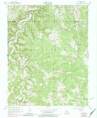
1954 Map of Roby
USGS Topo · Published 1984About this map
Fort Leonard Wood Military Reservation dominates the northern reaches of this landscape, marking a transition from wild timberland to controlled federal grounds. To the south, the deep woods of the Mark Twain National Forest are carved by the winding course of Roubidoux Creek and its various hollows and ridges. This mid-century survey captures a rural Ozark pattern of small, scattered communities like Plato and Roby, alongside signs of older habitations such as Old Evening Shade.
Find a feature on this map
25 named features on this map. Tap any name to fly to it.
Don’t see what you’re looking for? This feature index may not catch every label — zoom into the map to look around manually.
Map Details
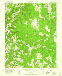
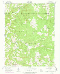
Editions of this 1954 Roby Map
3 editions found
Other maps of this area

1931 · Manes
USGS Topo · 1:48,000

1941 · Big Piney
USGS Topo · 1:62,500

1941 · Manes
USGS Topo · 1:62,500

1941 · Bado
USGS Topo · 1:62,500

1943 · Big Piney
USGS Topo · 1:62,500

1943 · Manes
USGS Topo · 1:62,500

1943 · Drynob
USGS Topo · 1:62,500

1943 · Bado
USGS Topo · 1:62,500

1954 · Springfield
USGS Topo · 1:250,000

1954 · Drynob
USGS Topo · 1:62,500