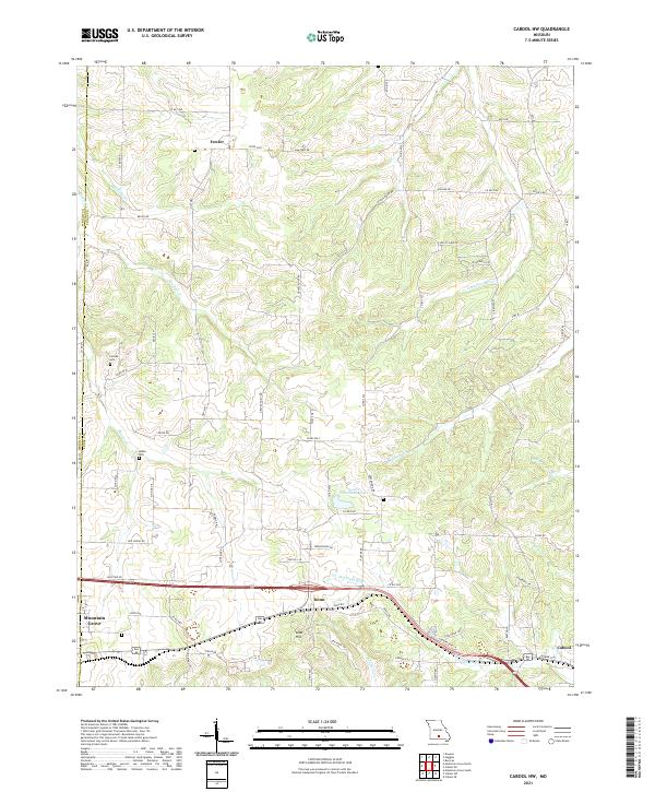
2021 Map of Cabool NW
USGS Topo · Published 2021About this map
Big Piney River and its tributary, Little Piney River, wind through this section of the Ozarks where the boundary between Wright and Texas counties is defined by local watercourses. The landscape is a network of ridges and hollows, notably punctuated by Lead Hill south of the village of Dunn. This area shows a transition from the larger commercial hubs of Mountain Grove and Cabool at the southern edge to the smaller, rural settlements of Fowler and Dunn further north.
Find a feature on this map
72 named features on this map. Tap any name to fly to it.
Don’t see what you’re looking for? This feature index may not catch every label — zoom into the map to look around manually.
Map Details
Editions of this 2021 Cabool NW Map
This is the sole edition of this map. No revisions or reprints were ever made.
Other maps of this area

1931 · Manes
USGS Topo · 1:48,000

1941 · Manes
USGS Topo · 1:62,500

1941 · Bado
USGS Topo · 1:62,500

1943 · Manes
USGS Topo · 1:62,500

1943 · Bado
USGS Topo · 1:62,500

1950 · Cabool SW
USGS Topo · 1:24,000

1951 · Mountain Grove South
USGS Topo · 1:24,000

1951 · Cabool SE
USGS Topo · 1:24,000

1951 · Mountain Grove North
USGS Topo · 1:24,000

1951 · Cabool NW
USGS Topo · 1:24,000