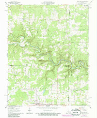
1968 Map of Pine Crest
USGS Topo · Published 1985About this map
Jacks Fork carves a winding path through the Ozark landscape, defining the character of this terrain in the late 1960s. The waterway is part of the Ozark National Scenic Riverways, where the river’s north and south prongs converge. This river-centered economy is reflected in the numerous river crossings and features, such as Harlow Ford and Ratcliff Ford, and the presence of the YMCA Campground and Blue Spring. The map reveals a dispersed settlement pattern typical of the Missouri Ozarks, with small communities like Arroll and Turnerville serving the surrounding agricultural and timber lands.
Find a feature on this map
47 named features on this map. Tap any name to fly to it.
Don’t see what you’re looking for? This feature index may not catch every label — zoom into the map to look around manually.
Map Details
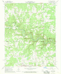
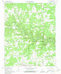
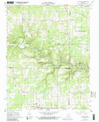
Editions of this 1968 Pine Crest Map
4 editions found
Other maps of this area

1945 · Willow Springs
USGS Topo · 1:62,500

1945 · Montier
USGS Topo · 1:62,500

1945 · Clear Springs
USGS Topo · 1:62,500

1946 · Summersville
USGS Topo · 1:62,500

1948 · Clear Springs
USGS Topo · 1:62,500

1948 · Montier
USGS Topo · 1:62,500

1948 · Willow Springs
USGS Topo · 1:62,500

1948 · Summersville
USGS Topo · 1:62,500

1949 · Rolla
USGS Topo · 1:250,000

1953 · Rolla
USGS Topo · 1:250,000