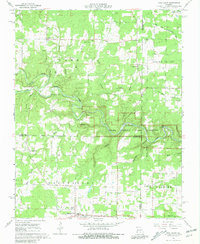
1968 Map of Pine Crest
USGS Topo · Published 1981About this map
Jacks Fork and its winding tributaries, including the North Prong Jacks Fork and South Prong Jacks Fork, dominate this portion of the Ozark National Scenic Riverways. The terrain is deeply incised by countless drainage features such as Coon Hollow, Buckhorn Hollow, and Panther Hollow, which historically dictated the placement of small rural communities. Settlements like Arroll and Turnerville are centered around small country schools and cemeteries, such as the Arroll Sch and Cold Spring Cem, reflecting a landscape of dispersed agricultural life before modern consolidation.
Find a feature on this map
51 named features on this map. Tap any name to fly to it.
Don’t see what you’re looking for? This feature index may not catch every label — zoom into the map to look around manually.
Map Details
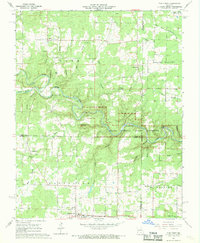
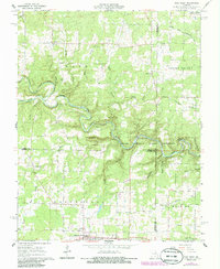
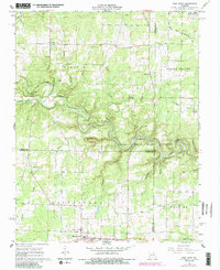
Editions of this 1968 Pine Crest Map
4 editions found
Other maps of this area

1945 · Willow Springs
USGS Topo · 1:62,500

1945 · Montier
USGS Topo · 1:62,500

1945 · Clear Springs
USGS Topo · 1:62,500

1946 · Summersville
USGS Topo · 1:62,500

1948 · Clear Springs
USGS Topo · 1:62,500

1948 · Montier
USGS Topo · 1:62,500

1948 · Willow Springs
USGS Topo · 1:62,500

1948 · Summersville
USGS Topo · 1:62,500

1949 · Rolla
USGS Topo · 1:250,000

1953 · Rolla
USGS Topo · 1:250,000