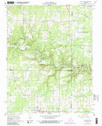
1968 Map of Pine Crest
USGS Topo · Published 1985About this map
The northern edge of Mountain View anchors this 1968 landscape, where the Ozark hills meet the deep-cut valleys of the Jacks Fork. The map documents a rural network of small communities and family landmarks, including the scattered settlements of Arroll, Oakside, and Turnerville. These nodes are connected by winding roads and old crossing points like Harlow Ford and Ratcliff Ford. Local history is preserved in the location of the Arroll Sch and the Stallman Sch, alongside community centers such as the Pilgrim Rest Ch & Cem. The terrain is characterized by numerous named hollows, including Grassy Hollow and Panther Hollow, which drain toward the protected Ozark National Scenic Riverways. Distinctive natural features like Chimney Rock Cave and the Barn Hollow Natural Area illustrate the area's geological diversity.
Find a feature on this map
53 named features on this map. Tap any name to fly to it.
Don’t see what you’re looking for? This feature index may not catch every label — zoom into the map to look around manually.
Map Details
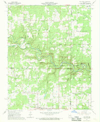
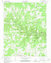
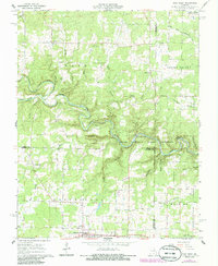
Editions of this 1968 Pine Crest Map
4 editions found
Other maps of this area

1945 · Willow Springs
USGS Topo · 1:62,500

1945 · Montier
USGS Topo · 1:62,500

1945 · Clear Springs
USGS Topo · 1:62,500

1946 · Summersville
USGS Topo · 1:62,500

1948 · Clear Springs
USGS Topo · 1:62,500

1948 · Montier
USGS Topo · 1:62,500

1948 · Willow Springs
USGS Topo · 1:62,500

1948 · Summersville
USGS Topo · 1:62,500

1949 · Rolla
USGS Topo · 1:250,000

1953 · Rolla
USGS Topo · 1:250,000