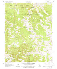
1954 Map of Beulah
USGS Topo · Published 1978About this map
The Mark Twain National Forest dominates this mid-century landscape in the Ozark highlands, where the Big Piney River cuts through the southern reaches of the quadrangle. Small rural communities like Beulah and Slabtown serve as anchors for a dispersed population of farmsteads and smallholdings. The map reveals a high density of community institutions from an earlier era, including the Blooming Rose School, Craddock School, and Walnut Ridge School, which were vital hubs for local families.
Find a feature on this map
34 named features on this map. Tap any name to fly to it.
Don’t see what you’re looking for? This feature index may not catch every label — zoom into the map to look around manually.
Map Details
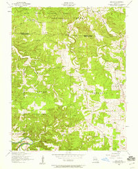
Editions of this 1954 Beulah Map
2 editions found
Other maps of this area

1937 · Edgar Springs
USGS Topo · 1:48,000

1941 · Big Piney
USGS Topo · 1:62,500

1941 · Bado
USGS Topo · 1:62,500

1943 · Big Piney
USGS Topo · 1:62,500

1943 · Bado
USGS Topo · 1:62,500

1945 · Edgar Springs
USGS Topo · 1:62,500

1949 · Rolla
USGS Topo · 1:250,000

1951 · Licking
USGS Topo · 1:24,000

1951 · Prescott
USGS Topo · 1:24,000

1951 · Raymondville
USGS Topo · 1:62,500