
1951 Map of Raymondville
USGS Topo · Published 1958About this map
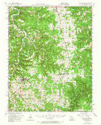
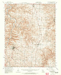
The Big Piney River and its tributary, Piney River, carve a winding path through this portion of the Mark Twain National Forest during the early 1950s. The county seat of Houston serves as a primary hub in the southwest, while Licking and Raymondville anchor the northern and central regions. This era of rural Missouri history is visible in the dense network of small neighborhood institutions, many of which are designated by family names such as Venable School, Mahan Cem, and Arthur Creek School.
Find a feature on this map
70 named features on this map. Tap any name to fly to it.
Don’t see what you’re looking for? This feature index may not catch every label — zoom into the map to look around manually.
Map Details
Editions of this 1951 Raymondville Map
3 editions found
Other maps of this area

1932 · Cedar Grove
USGS Topo · 1:48,000

1937 · Edgar Springs
USGS Topo · 1:48,000

1941 · Big Piney
USGS Topo · 1:62,500

1941 · Salem
USGS Topo · 1:62,500

1941 · Bado
USGS Topo · 1:62,500

1943 · Big Piney
USGS Topo · 1:62,500

1943 · Bado
USGS Topo · 1:62,500

1945 · Salem
USGS Topo · 1:62,500

1945 · Edgar Springs
USGS Topo · 1:62,500

1945 · Clear Springs
USGS Topo · 1:62,500