Old Maps of Lloyd, Montana for Genealogy
Trace your family roots with 11 historic maps of Lloyd. These high-res maps reveal old neighborhoods, homesites, landmarks, and streets — helping you uncover where your ancestors lived and how the area evolved over time.
- Explore historic neighborhoods: Identify where your relatives may have lived in the 1800s or 1900s.
- Compare maps over time: Trace the changes in streets, buildings, and landmarks for multi-generational research.
- Perfect for genealogy & ancestry research: Used by family historians and researchers to map out lineage and migration.
These maps are an incredible resource for exploring your personal connection to Lloyd's past.
Lloyd, MT maps
(11)- 1953 Map of Havre, 1967 Print
 1953 Havre1967 Print · USGSNorthern Montana’s Hi-Line comes into focus in the mid-fifties, centered on the Milk River and the critical Great Northern rail link. Genealogists can trace small sidings and settlements like Assinniboine, Laredo, and Box Elder alongside the Fort Belknap Agency.3 unique versions available
 - 1956 Map of Lloyd, 1958 Print
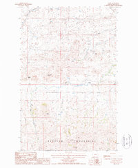
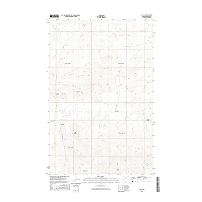
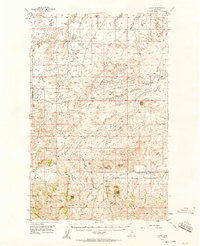 1956 Lloyd1958 Print · USGSThe northern slopes of the Bearpaw Mountains come into focus in the mid-1950s, showing a landscape of high-plains ranching and early energy development. Genealogists and researchers can locate old rural school sites like Logie Sch and Lloyd Sch or trace the early Gas Wells near Threemile Coulee.2 unique versions available
 - 1957 Map of Havre
 1957 Havre1957 Print · USGSNorth-central Montana at the mid-century is defined by the vital Great Northern rail corridor and the winding Milk River. Researchers can trace old settlements like Laredo and Savoy, or locate historic sites such as the Hays (old) Sub Agency and the Chinook No 1 mine.
 - 1958 Map of Havre
 1958 Havre1958 Print · USGSUpper Montana in the late fifties was a landscape of remote rail towns and vast high-plain ranges. Genealogists and historians can trace the Great Northern railroad through Havre, Chinook, and the Fort Belknap Indian Reservation.
 - 1987 Map of Lloyd
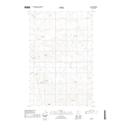
 1987 Lloyd1987 Print · USGSThe northern reaches of the Bearpaw Mountains in the late eighties show a landscape of deep coulees and creek beds near the settlement of Lloyd. Researchers can trace old resource sites like a Mineshaft and Prospect or locate landmarks such as Lloyd Butte and Mans Head Rock.
 - 1993 Map of Rocky Boy, 1994 Print
 1993 Rocky Boy1994 Print · USGSThe Bears Paw Mountains and the high plains of north-central Montana appear here in the early nineties, centered on the Rocky Boys Indian Reservation. You can trace the historic Bears Paw Battlefield and find isolated sites like Cleveland and the Blackjack Mine.
 - 2011 Map of Lloyd, 2011 Print
 2011 Lloyd2011 Print · USGSCovers Lloyd, including Blaine County, United States, and other nearby areas
 - 2014 Map of Lloyd, 2014 Print
 2014 Lloyd2014 Print · USGSCovers Lloyd, including Blaine County, United States, and other nearby areas
 - 2017 Map of Lloyd, 2017 Print
 2017 Lloyd2017 Print · USGSCovers Lloyd, including Blaine County, United States, and other nearby areas
 - 2020 Map of Lloyd, 2020 Print
 2020 Lloyd2020 Print · USGSCovers Lloyd, including Blaine County, United States, and other nearby areas
 - 2024 Map of Lloyd, 2024 Print
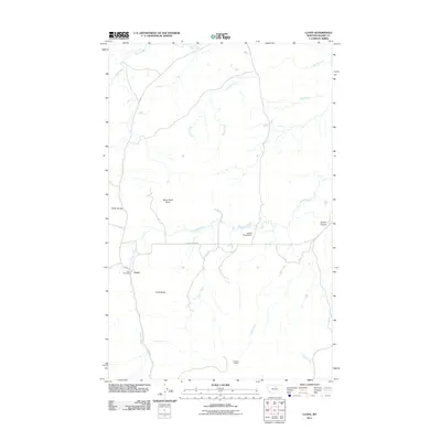
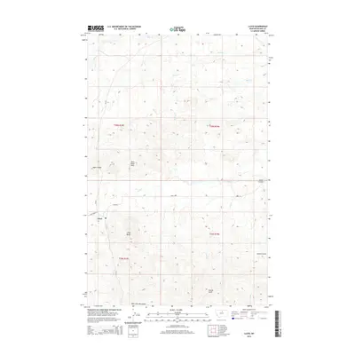
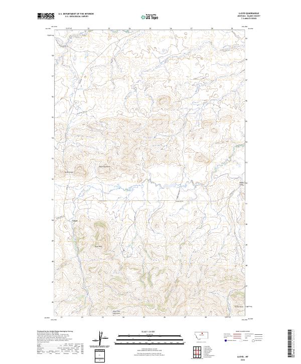 2024 Lloyd2024 Print · USGSThe northern Montana high country comes alive in this study of Blaine County, highlighting the community of Lloyd amidst the Bears Paw Mountains. Genealogists and historians can trace family-named landmarks like Lloyd Butte and Mans Head Rock along the winding path of Snake Creek.
End of results
Showing maps 1-11 of 11
Frequently asked questions
- What are the different types of historical maps available for Lloyd?
- What is the oldest map of Lloyd?
- Where can I purchase historical maps of Lloyd for my home or office?
- Where can I download high-res historical maps of Lloyd?
- Are there historical topographic maps available for Lloyd?
- Is there historical aerial imagery available for Lloyd?
- Where are historical maps of Lloyd sourced from?