
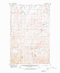
1956 Map of Lloyd
USGS Topo · Published 1958About this map
The Bearpaw Mountains dominate the southern portion of this mid-century survey, where the rugged terrain transitions into the high plains of Blaine and Hill counties. Isolated peaks and prominent landmarks such as Lloyd Butte, Barber Butte, and the distinctive Mans Head Rock serve as anchor points for a landscape defined by ranching and resource extraction. The presence of Gas Wells and the Rader Mine in the northern coulees indicates the early development of the region's energy resources.
Find a feature on this map
26 named features on this map. Tap any name to fly to it.
Don’t see what you’re looking for? This feature index may not catch every label — zoom into the map to look around manually.
Map Details
Editions of this 1956 Lloyd Map
2 editions found
Other maps of this area

1904 · Yantic
USGS Topo · 1:62,500

1904 · Chinook
USGS Topo · 1:62,500

1904 · Havre
USGS Topo · 1:62,500

1912 · Zurich
USGS Topo · 1:125,000

1912 · Thibedeau Lake
USGS Topo · 1:125,000

1953 · Havre
USGS Topo · 1:250,000

1956 · Maddux
USGS Topo · 1:62,500

1956 · Rattlesnake
USGS Topo · 1:62,500

1956 · Cleveland
USGS Topo · 1:62,500

1957 · Havre
USGS Topo · 1:250,000