Old Maps of Carbon County, Montana
Explore 106 old maps of Carbon County, spanning from 1892 to today. These high-resolution historic maps reveal how streets, neighborhoods, landmarks, and natural features evolved over time — perfect for genealogy, metal detecting, research, and local history exploration.
What you can do with these maps:
- See how Carbon County changed over time: Compare historical maps to modern-day views to trace roads, homesites, rail lines & more.
- View detailed metadata: Each map includes creators, publishers, year, scale, and archive source.
- Overlay maps with satellite & LiDAR: Visualize the past alongside modern tools to explore terrain & human change.
- Trusted historical sources: Maps sourced from the USGS, Library of Congress, and other archives.
- Access maps your way: View online, download high-res files, or order prints for personal or research use.
Start exploring old maps of Carbon County to uncover forgotten places, hidden landmarks, and the deep history beneath your feet.
Carbon County, MT maps
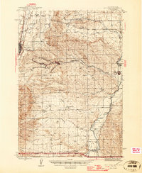
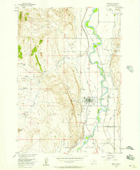
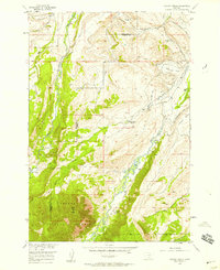
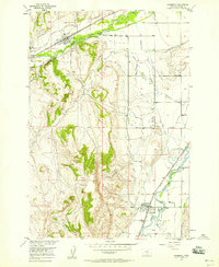
(106)- 1892 Map of Stillwater
 1892 Stillwater1892 Print · USGSCovers Carbon County, including Columbus, Absarokee, and other nearby areas4 unique versions available
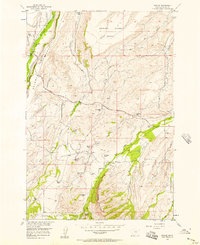
 - 1898 Map of Granite Mountain District
 1898 Granite Mountain District1898 Print · USGSCovers Carbon County, including Dean, Meyers Creek, and other nearby areas
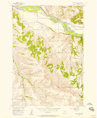
 - 1932 Map of Red Lodge No 2
 1932 Red Lodge No 21932 Print · USGSCovers Carbon County, including George Place, Rankin Place, and other nearby areas
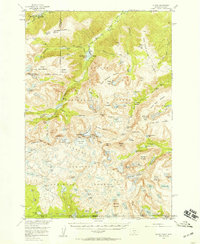
 - 1932 Map of Red Lodge No 1
 1932 Red Lodge No 11932 Print · USGSCovers Carbon County, including Selmes, Fox, and other nearby areas
 - 1932 Map of Nye No 1
 1932 Nye No 11932 Print · USGSCovers Carbon County, including Dean, Beehive, and other nearby areas
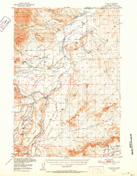
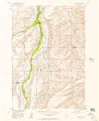
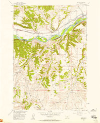
 - 1944 Map of Red Lodge, 1946 Print
 1944 Red Lodge1946 Print · USGSCovers Carbon County, including Red Lodge, Bearcreek, and other nearby areas3 unique versions available
 - 1950 Map of Clark, 1952 Print
 1950 Clark1952 Print · USGSCovers Carbon County, including Clark, Badger Basin, and other nearby areas3 unique versions available
 - 1954 Map of Billings, 1963 Print
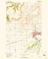
 1954 Billings1963 Print · USGSCovers Carbon County, including Billings, Laurel, and other nearby areas4 unique versions available
 - 1955 Map of Cody, 1969 Print
 1955 Cody1969 Print · USGSCovers Carbon County, including Cody, Powell, and other nearby areas2 unique versions available
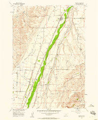
 - 1956 Map of Emerald Lake, 1957 Print
 1956 Emerald Lake1957 Print · USGSCovers Carbon County, including Stillwater County, United States, and other nearby areas3 unique versions available
 - 1956 Map of Fishtail, 1957 Print
 1956 Fishtail1957 Print · USGSCovers Carbon County, including Fishtail, Stillwater County, and other nearby areas2 unique versions available
 - 1956 Map of Bridger, 1957 Print
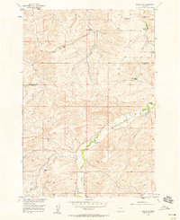
 1956 Bridger1957 Print · USGSCovers Carbon County, including Bridger, United States, and other nearby areas2 unique versions available
 - 1956 Map of Roscoe, 1957 Print
 1956 Roscoe1957 Print · USGSCovers Carbon County, including George Place, Rankin Place, and other nearby areas3 unique versions available
 - 1956 Map of Shane Ridge, 1957 Print
 1956 Shane Ridge1957 Print · USGSCovers Carbon County, including Columbus, Stillwater County, and other nearby areas2 unique versions available
 - 1956 Map of Alpine, 1957 Print
 1956 Alpine1957 Print · USGSCovers Carbon County, including Alpine, Park County, and other nearby areas3 unique versions available
 - 1956 Map of Mackay Ranch, 1957 Print
 1956 Mackay Ranch1957 Print · USGSCovers Carbon County, including Stillwater County, United States, and other nearby areas3 unique versions available
 - 1956 Map of Roscoe NW, 1957 Print
 1956 Roscoe NW1957 Print · USGSCovers Carbon County, including Stillwater County, United States, and other nearby areas2 unique versions available
 - 1956 Map of Silesia, 1958 Print
 1956 Silesia1958 Print · USGSCovers Carbon County, including Rockvale, Silesia, and other nearby areas
 - 1956 Map of Roscoe NE, 1958 Print
 1956 Roscoe NE1958 Print · USGSCovers Carbon County, including Stillwater County, United States, and other nearby areas3 unique versions available
 - 1956 Map of Fromberg, 1958 Print
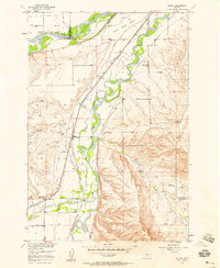
 1956 Fromberg1958 Print · USGSCovers Carbon County, including Joliet, Fromberg, and other nearby areas2 unique versions available
 - 1956 Map of Rapids, 1958 Print
 1956 Rapids1958 Print · USGSCovers Carbon County, including Stillwater County, United States, and other nearby areas2 unique versions available
 - 1956 Map of Roberts, 1958 Print
 1956 Roberts1958 Print · USGSCovers Carbon County, including Fox, Roberts, and other nearby areas
 - 1956 Map of Mount Maurice, 1958 Print
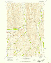
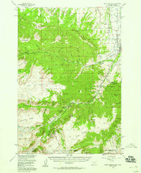 1956 Mount Maurice1958 Print · USGSCovers Carbon County, including Red Lodge, Richel Lodge, and other nearby areas4 unique versions available
 - 1956 Map of Laurel, 1958 Print
 1956 Laurel1958 Print · USGSCovers Carbon County, including Laurel, Spurling, and other nearby areas2 unique versions available
 - 1956 Map of Castagne, 1958 Print
 1956 Castagne1958 Print · USGSCovers Carbon County, including United States, Montana, and other nearby areas2 unique versions available
Showing maps 1-25 of 106
Top cities of Carbon County
- Red Lodge historical maps
- Bridger historical maps
- Joliet historical maps
- Fromberg historical maps
- Bearcreek historical maps
Frequently asked questions
- What are the different types of historical maps available for Carbon County?
- What is the oldest map of Carbon County?
- Where can I purchase historical maps of Carbon County for my home or office?
- Where can I download high-res historical maps of Carbon County?
- Are there historical topographic maps available for Carbon County?
- Is there historical aerial imagery available for Carbon County?
- Where are historical maps of Carbon County sourced from?