
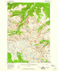
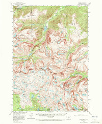
1956 Map of Alpine
USGS Topo · Published 1957About this map
Mystic Lake Hydroelectric Plant stands as a notable industrial mark in this high-altitude landscape of the Beartooth Mountains during the mid-1950s. This survey, compiled from 1952 aerial photography, captures the intricate glacial topography of the Custer National Forest and Beartooth National Forest. The map documents numerous active ice fields, including Phantom Glacier, Snowbank Glacier, and Grasshopper Glacier, which feed the headwaters of the Rosebud and Stillwater drainages.
Find a feature on this map
124 named features on this map. Tap any name to fly to it.
Don’t see what you’re looking for? This feature index may not catch every label — zoom into the map to look around manually.
Map Details
Editions of this 1956 Alpine Map
3 editions found
Other maps of this area

1896 · Crandall Creek
USGS Topo · 1:125,000

1898 · Granite Mountain District
USGS Topo · 1:125,000

1899 · Crandall
USGS Topo · 1:125,000

1932 · Red Lodge No 2
USGS Topo · 1:48,000

1932 · Nye No 1
USGS Topo · 1:48,000

1932 · Nye No 2
USGS Topo · 1:48,000

1939 · Mt Wood
USGS Topo · 1:62,500

1941 · Mt. Wood
USGS Topo · 1:62,500

1950 · Deep Lake
USGS Topo · 1:62,500

1954 · Billings
USGS Topo · 1:250,000