2000s (21st Century) Maps of Carbon County, Montana
Explore 301 historic maps of Carbon County from the 2000s (21st Century). These maps offer a rare glimpse into what life looked like during the 2000s — showing old roads, neighborhoods, homes, and landmarks that have changed or disappeared over time.
Whether you're researching your family's past, planning a metal detecting trip, or studying how Carbon County's landscape evolved across the 2000s, these high-resolution maps are a powerful tool for exploring the history of this region.
- Focus on a specific era: All maps on this page are from the 2000s, giving you a focused view of this time period.
- See what’s changed: Compare century-old streets, trails, and buildings to today's modern landscape using overlays and satellite layers.
- Research with precision: Use these maps for genealogy, historical research, land use analysis, or educational projects.
- View, download, or print: Maps are fully viewable online in high resolution, and can be downloaded or printed for your own records.
Start exploring Carbon County's history through authentic maps from the 2000s. This is your window into the past.
Carbon County, MT maps
(301)- 2000 Map of Fossil Lake, 2005 Print
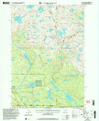 2000 Fossil Lake2005 Print · USGSThe high Beartooth plateau at the Montana-Wyoming border is captured here at the turn of the century. Trace wilderness history through remote landmarks like the Kersey Lake Cabin, the Chief Joseph site, and high-country peaks such as Mount Rosebud.
 - 2011 Map of Fossil Lake, 2011 Print
 2011 Fossil Lake2011 Print · USGSHigh in the Beartooth Plateau during the early twenty-first century, this map shows a dense network of alpine lakes and granite peaks. Researchers can locate remote landmarks like Big Moose Resort or trace the drainages surrounding Fossil Lake and Mount Rosebud.
 - 2011 Map of Montaqua, 2011 Print
 2011 Montaqua2011 Print · USGSCarbon County at the start of the 2010s shows a landscape deeply integrated with the Yellowstone River and its intricate canal networks. Local researchers can trace water rights and land use through the Dutton Canal, Joliet Ditch, and the Mont Aqua Hot Spring.
 - 2011 Map of Mystery Cave, 2011 Print
 2011 Mystery Cave2011 Print · USGSThe Montana-Wyoming border region comes into focus during this early twenty-first century survey, detailing the high ridges and deep canyons above Bighorn Lake. Researchers can trace the path of Bad Pass Rd past the Wild Horse Mine and the distinctive summit of Tillet Ridge.
 - 2011 Map of Sylvan Peak, 2011 Print
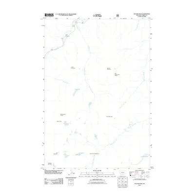 2011 Sylvan Peak2011 Print · USGSCarbon County’s high-country peaks and alpine lakes are documented here in the years following the turn of the millennium. Researchers can trace the drainage of West Fork Rock Creek past Calamity Falls or locate landmarks like Jimmy Joe Campground and Quinnebaugh Meadows.
 - 2011 Map of Warren, 2011 Print
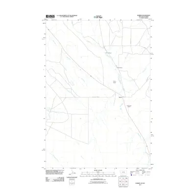 2011 Warren2011 Print · USGSThe Montana-Wyoming borderlands around the settlement of Warren are captured here in the early twenty-first century. Researchers can trace the path of Railroad Grade Rd and locate local landmarks like Drum Number 2 Dam and Inferno Canyon.
 - 2011 Map of Silver Run Peak, 2011 Print
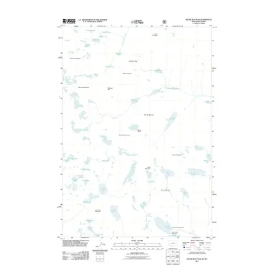 2011 Silver Run Peak2011 Print · USGSHigh alpine basins and massive granite summits dominate the Beartooth Range during this 2011 survey. Hikers and cartographic researchers can trace complex glacial drainage patterns through September Morn Lake, Silver Run Peak, and the Lake Fork canyon.
 - 2011 Map of Mossmain SW, 2011 Print
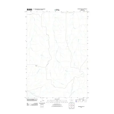 2011 Mossmain SW2011 Print · USGSYellowstone County's rural landscape is shown here in the early twenty-first century, featuring the intersection of energy production and natural drainages. Researchers can locate the Mosser Dome Oil Field and trace watercourses like Davis Creek and Duck Creek.
 - 2011 Map of Fishtail, 2011 Print
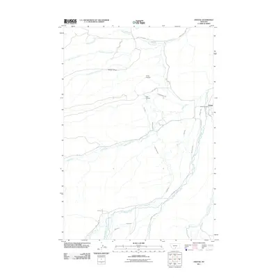 2011 Fishtail2011 Print · USGSStillwater County at the start of the 2010s shows a landscape of mountain-fed irrigation and high-plains canyons. Genealogists and researchers can locate the Fishtail Post Office and trace the complex paths of the Magee Ditch and Nels Thomas Ditch.
 - 2011 Map of East Pryor Mountain, 2011 Print
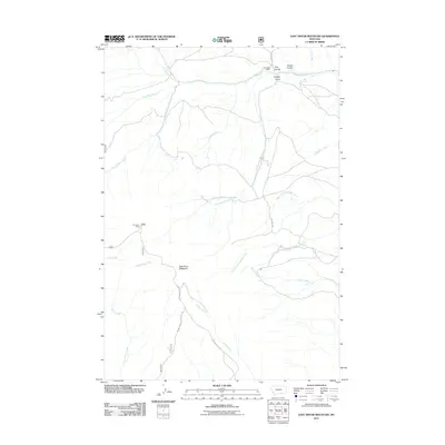 2011 East Pryor Mountain2011 Print · USGSCarbon County, Montana, is depicted in the early 21st century as a landscape of remote mountain ridges and indigenous heritage sites. Researchers can locate ranching landmarks like the Dry Head Ranch and historical sites such as the Buffalo Jump near Big Spring.
 - 2011 Map of Roscoe NE, 2011 Print
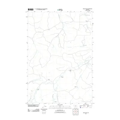 2011 Roscoe NE2011 Print · USGSCarbon County ranchlands are captured here in the early twenty-first century, showing a landscape of legacy family homesteads and vital water infrastructure. Researchers can locate the Saint Olaf Cemetery and trace lineage through the Walter Korpela Ranch or Inderland Ranch.
 - 2011 Map of Bluewater, 2011 Print
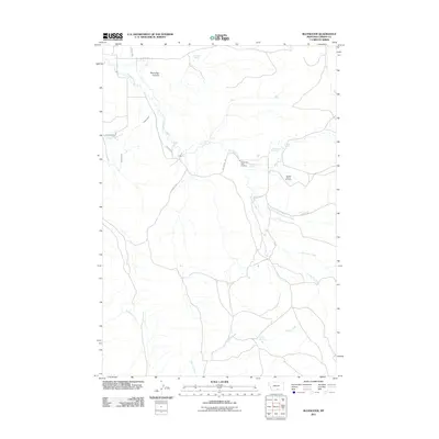 2011 Bluewater2011 Print · USGSCarbon County’s ranching and water-management landscape comes into focus during the early twenty-first century. Genealogists and local historians can locate the Teeples Ranch Cemetery and trace water rights through Orchard Ditch and the Bluewater Fish Hatchery.
 - 2011 Map of Wade, 2011 Print
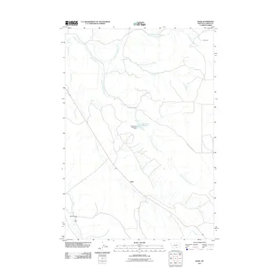 2011 Wade2011 Print · USGSCarbon County, Montana, is shown here in the early 2000s, where the landscape is defined by the winding paths of Jack Creek and Bridger Creek. Researchers can locate isolated landmarks like Parker Cabin and Baker Cabin or trace the water works of the Depression Reservoir.
 - 2011 Map of Hollenbeck Draw, 2011 Print
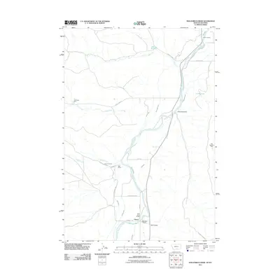 2011 Hollenbeck Draw2011 Print · USGSThe Montana-Wyoming border region along the Clarks Fork Yellowstone River is revealed in this 2011 survey, showing a landscape shaped by water and early trails. Researchers can find historical markers like Chance Cemetery and trace the path of the Meeteetse Trl.
 - 2011 Map of Belfry, 2011 Print
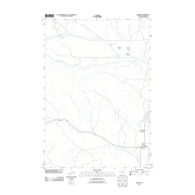 2011 Belfry2011 Print · USGSNear the turn of the twenty-first century, the settlement of Belfry remained a vital agricultural crossroads in the Carbon County valley. Trace the complex network of irrigation canals and civic landmarks, from the Shupak Ponds to the Belfry Post Office.
 - 2011 Map of Rapids, 2011 Print
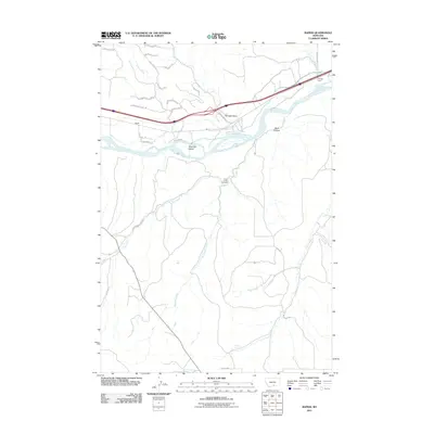 2011 Rapids2011 Print · USGSCarbon County's river-carved plains come to life here as the Yellowstone flows past the settlement of Rapids. Researchers can trace family roots at the Cow Creek Cemetery or explore the geography of Wolf Canyon and Westover Island.
 - 2011 Map of Pryor NW, 2011 Print
 2011 Pryor NW2011 Print · USGSYellowstone County at the start of the 2010s reveals a quiet landscape of high-plains drainages and rural routes. Researchers can trace the paths of Wolf Creek, Plum Creek, and Macheta Creek as they cross Pryor Rd and Edgar Rd.
 - 2011 Map of Boyd, 2011 Print
 2011 Boyd2011 Print · USGSCarbon County’s agricultural and industrial landscape is revealed in this early twenty-first-century survey. Researchers can locate the Carbonado Mine, trace irrigation systems like Hoyle Ditch, and find burial sites at Carbonado Cemetery.
 - 2011 Map of Bare Mountain, 2011 Print
 2011 Bare Mountain2011 Print · USGSCarbon County's high country is captured here during the early twenty-first century, showing the forest roads and alpine lakes of the Beartooth foothills. Researchers can locate secluded sites like Camp Senia or trace the drainages of Basin Creek and West Red Lodge Creek.
 - 2011 Map of Tolman Flat, 2011 Print
 2011 Tolman Flat2011 Print · USGSThe high plains of Park County come into focus during the early twenty-first century, showing a landscape shaped by water and early trails. Genealogists and researchers can locate the Tolman Cemetery and trace the historic path of the Meeteetsee Trl past the Grove Creek Mine.
 - 2011 Map of Granite Peak, 2011 Print
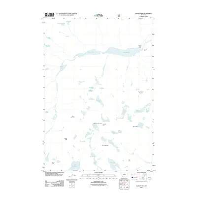 2011 Granite Peak2011 Print · USGSThe Beartooth Mountains are captured in detail during the early twenty-first century, showcasing the high-elevation terrain around Montana's highest point. Researchers can trace the alpine hydrology from Mystic Lake Dam down through West Rosebud Creek and locate remote summits like Froze-to-Death Mountain.
 - 2011 Map of Hunters Creek, 2011 Print
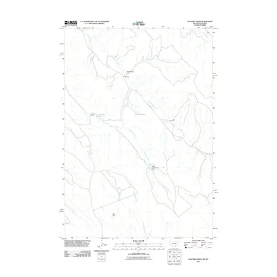 2011 Hunters Creek2011 Print · USGSCarbon County ranching and water management are front and center in this late-career survey of the Montana borderlands. Trace the remote outposts of the high plains through landmarks like Maki Cabin, Lee Guard Cabin, and the waters of Jones Reservoir.
 - 2011 Map of Bear Canyon, 2011 Print
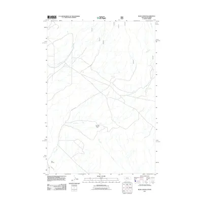 2011 Bear Canyon2011 Print · USGSThe rugged Montana-Wyoming borderlands are captured here in the early twenty-first century, showing a landscape shaped by water and ranching. Trace the path of Bear Creek and find specialized features like the Southside Detention Dam and Stockman Trl.
 - 2011 Map of Hatcher Pass, 2011 Print
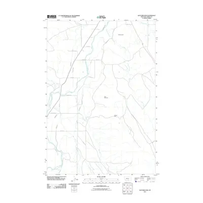 2011 Hatcher Pass2011 Print · USGSCarbon County, Montana, is depicted in the early twenty-first century as a landscape defined by ranching and a sophisticated irrigation network. Researchers can trace land use and water rights along the Clarks Fork Yellowstone River, following features like Holland Ditch and Schwend Hill.
 - 2011 Map of Long Draw, 2011 Print
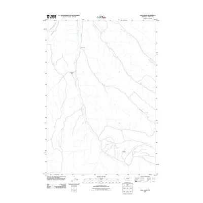 2011 Long Draw2011 Print · USGSCarbon County, Montana, is shown here during a period of sustained energy production and rural water management. Genealogists and industrial historians can trace the extent of the Elk Basin Oil Field and irrigation works like the River View Ditch.
Showing maps 1-25 of 301
Top cities of Carbon County
- Red Lodge historical maps
- Bridger historical maps
- Joliet historical maps
- Fromberg historical maps
- Bearcreek historical maps
Frequently asked questions
- What are the different types of historical maps available for Carbon County?
- What is the oldest map of Carbon County?
- Where can I purchase historical maps of Carbon County for my home or office?
- Where can I download high-res historical maps of Carbon County?
- Are there historical topographic maps available for Carbon County?
- Is there historical aerial imagery available for Carbon County?
- Where are historical maps of Carbon County sourced from?