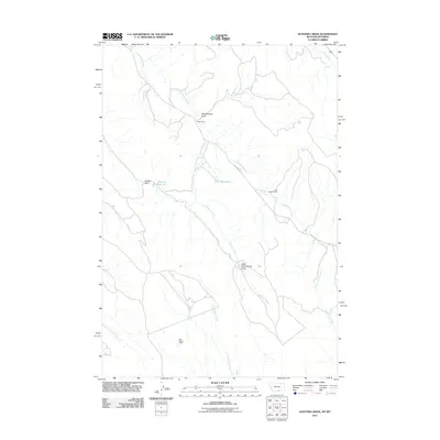
2011 Map of Hunters Creek
USGS Topo · Published 2011About this map
Hunters Creek and Cottonwood Creek carve through this high-country landscape on the Montana-Wyoming border, defining a region where water management is central to the land's utility. The presence of Hunters Reservoir and Jones Reservoir highlights the ranching and agricultural reliance on gathered runoff in an arid environment. Human presence is marked by isolated outposts like the Maki Cabin near Weatherman Draw and the Mud Spring Cabin to the south, suggesting a history of seasonal grazing or land management. The terrain is structured by significant geological depressions and crossings, such as Little Cottonwood Draw and Bobcat Pass. Navigation through this area is largely limited to unpaved routes like Cottonwood Rd, which connects these remote cabins and water sources. This 2011 survey by the U.S. Geological Survey provides a precise view of the infrastructure and natural drainage patterns that have supported life in this borderland territory.
Find a feature on this map
14 named features on this map. Tap any name to fly to it.
Don’t see what you’re looking for? This feature index may not catch every label — zoom into the map to look around manually.
Map Details
Editions of this 2011 Hunters Creek Map
This is the sole edition of this map. No revisions or reprints were ever made.
Other maps of this area

1954 · Billings
USGS Topo · 1:250,000

1955 · Cody
USGS Topo · 1:250,000

1957 · Billings
USGS Topo · 1:250,000

1958 · Billings
USGS Topo · 1:250,000

1958 · Cody
USGS Topo · 1:250,000

1962 · Cody
USGS Topo · 1:250,000

1966 · Elk Basin
USGS Topo · 1:24,000

1966 · Elk Basin NW
USGS Topo · 1:24,000

1966 · Deaver Reservoir
USGS Topo · 1:24,000

1969 · Warren
USGS Topo · 1:24,000