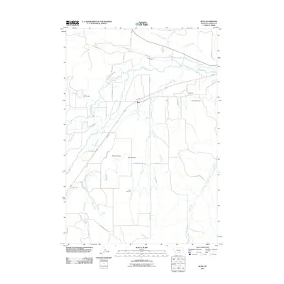
2011 Map of Boyd
USGS Topo · Published 2011About this map
The Carbonado Mine and nearby Carbonado Cemetery dominate the eastern reaches of this Montana landscape, signaling the area's industrial past. This region is defined by an intricate network of irrigation features such as the Sabo-Johnson-Curry Ditch, Leimback Ditch, and Highline Ditch, which redirect water from major streams like Rock Creek and Red Lodge Creek to support agriculture. The small settlement of Boyd sits centrally among these watercourses, while the southern terrain is marked by prominent natural landmarks including Blanchard Butte and Stormitt Butte. Farther south, the Beltz Cemetery and Chappel Spring offer specific points of interest for genealogists and local historians, reflecting the dispersed nature of rural settlement in Carbon County. The drainage patterns of Hot Dance Creek and Cow Creek further illustrate the topographic character of this high plains environment.
Find a feature on this map
45 named features on this map. Tap any name to fly to it.
Don’t see what you’re looking for? This feature index may not catch every label — zoom into the map to look around manually.
Map Details
Editions of this 2011 Boyd Map
This is the sole edition of this map. No revisions or reprints were ever made.
Other maps of this area

1892 · Stillwater
USGS Topo · 1:125,000

1932 · Red Lodge No 1
USGS Topo · 1:48,000

1954 · Billings
USGS Topo · 1:250,000

1956 · Bridger
USGS Topo · 1:24,000

1956 · Shane Ridge
USGS Topo · 1:24,000

1956 · Fromberg
USGS Topo · 1:24,000

1956 · Rapids
USGS Topo · 1:24,000

1956 · Roberts
USGS Topo · 1:24,000
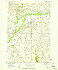
1956 · Boyd
USGS Topo · 1:24,000

1956 · The Big Slide
USGS Topo · 1:24,000