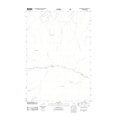
2011 Map of Bare Mountain
USGS Topo · Published 2011About this map
Bare Mountain and Burnt Mountain anchor this high-elevation landscape in Carbon County, where the topography is defined by the headwaters of numerous radiating streams. The 2011 survey reveals a primitive road network concentrated in the southern valleys, particularly along West Fork Rock Creek, which serves as the primary corridor for mountain access. This drainage supports a cluster of seasonal sites, including Camp Senia and Bots Sots Campground, highlighting the area's role as a recreational gateway into the surrounding peaks.
Find a feature on this map
30 named features on this map. Tap any name to fly to it.
Don’t see what you’re looking for? This feature index may not catch every label — zoom into the map to look around manually.
Map Details
Editions of this 2011 Bare Mountain Map
This is the sole edition of this map. No revisions or reprints were ever made.
Other maps of this area

1898 · Granite Mountain District
USGS Topo · 1:125,000

1932 · Red Lodge No 2
USGS Topo · 1:48,000

1932 · Nye No 1
USGS Topo · 1:48,000

1954 · Billings
USGS Topo · 1:250,000

1956 · Roscoe
USGS Topo · 1:24,000

1956 · Alpine
USGS Topo · 1:62,500

1956 · Mackay Ranch
USGS Topo · 1:24,000

1956 · Mount Maurice
USGS Topo · 1:62,500

1956 · Castagne
USGS Topo · 1:24,000

1957 · Billings
USGS Topo · 1:250,000